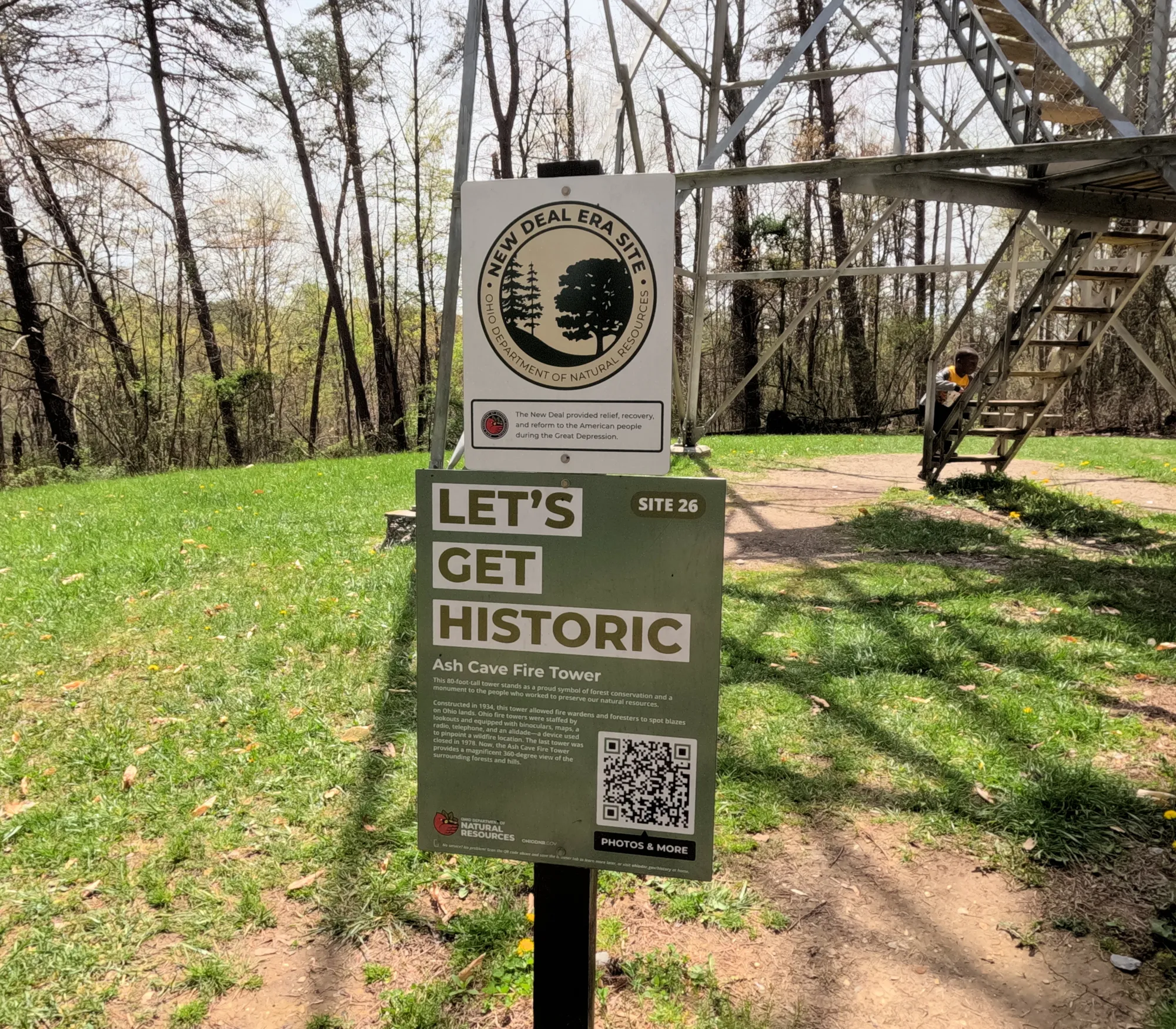
Ash Cave Fire Tower: Hocking Hills Trail Guide
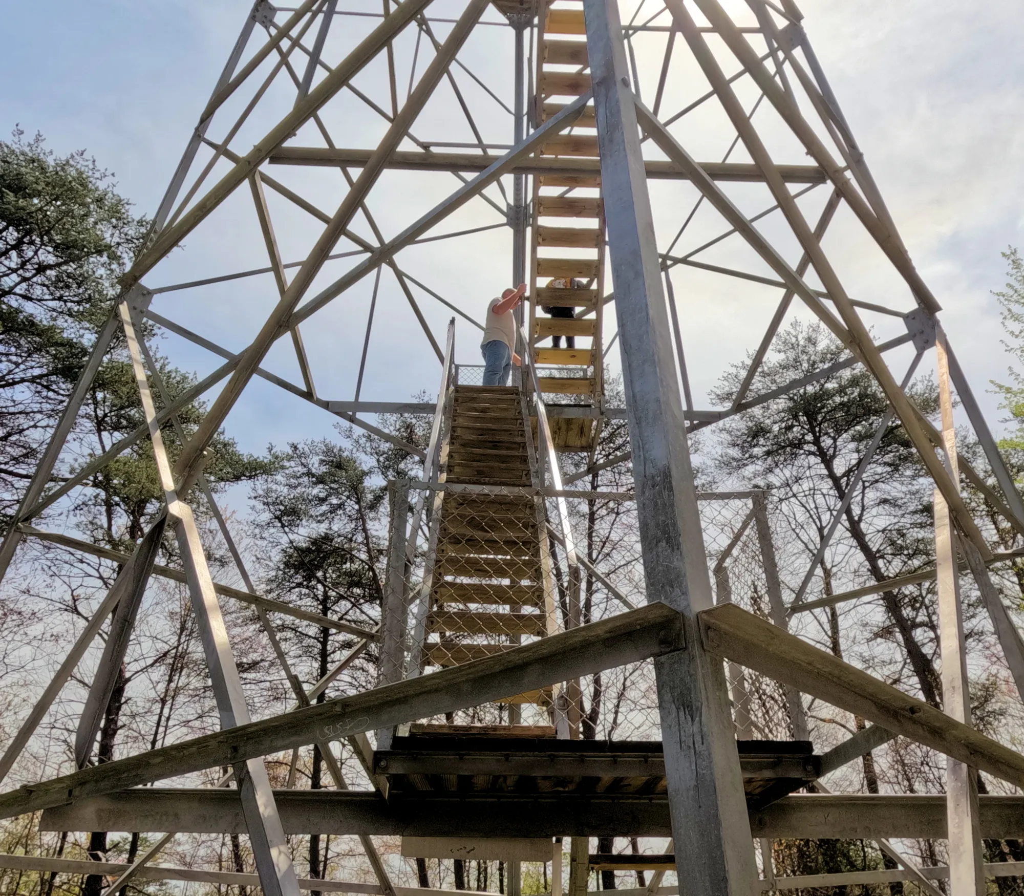
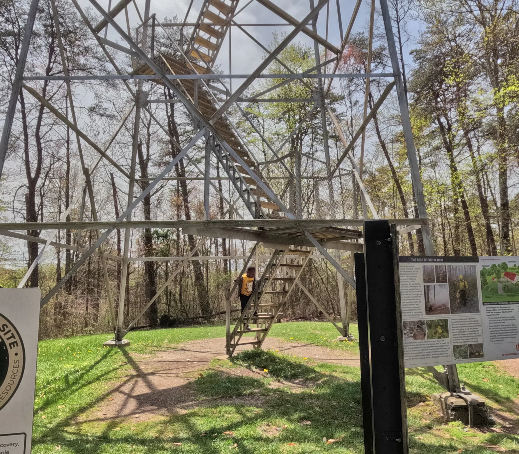
The Ash Cave Fire Tower was constructed in 1934. The 80-foot tall Aermotor tower has a 7-foot by 7-foot metal cab. The Aermotor Company has built windmills since 1888. However, from the nineteen-teens to the mid-twenties, Aermotor diversified to include the design and production of most of the nation’s forest observation towers.
.jpg)
After logging and subsequent fires devastated hills near Portsmouth, the Forestry Bureau established Shawnee State Forest in 1922 and erected its first fire tower there on Copperhead Hill in 1924. Similarly, the Ohio Agricultural Experiment Station began acquiring land in Hocking County in 1924 with the intent to demonstrate the practical value of forestry. The lands at the time were in poor condition because of extensive logging, with the remaining forest stands in poor condition.
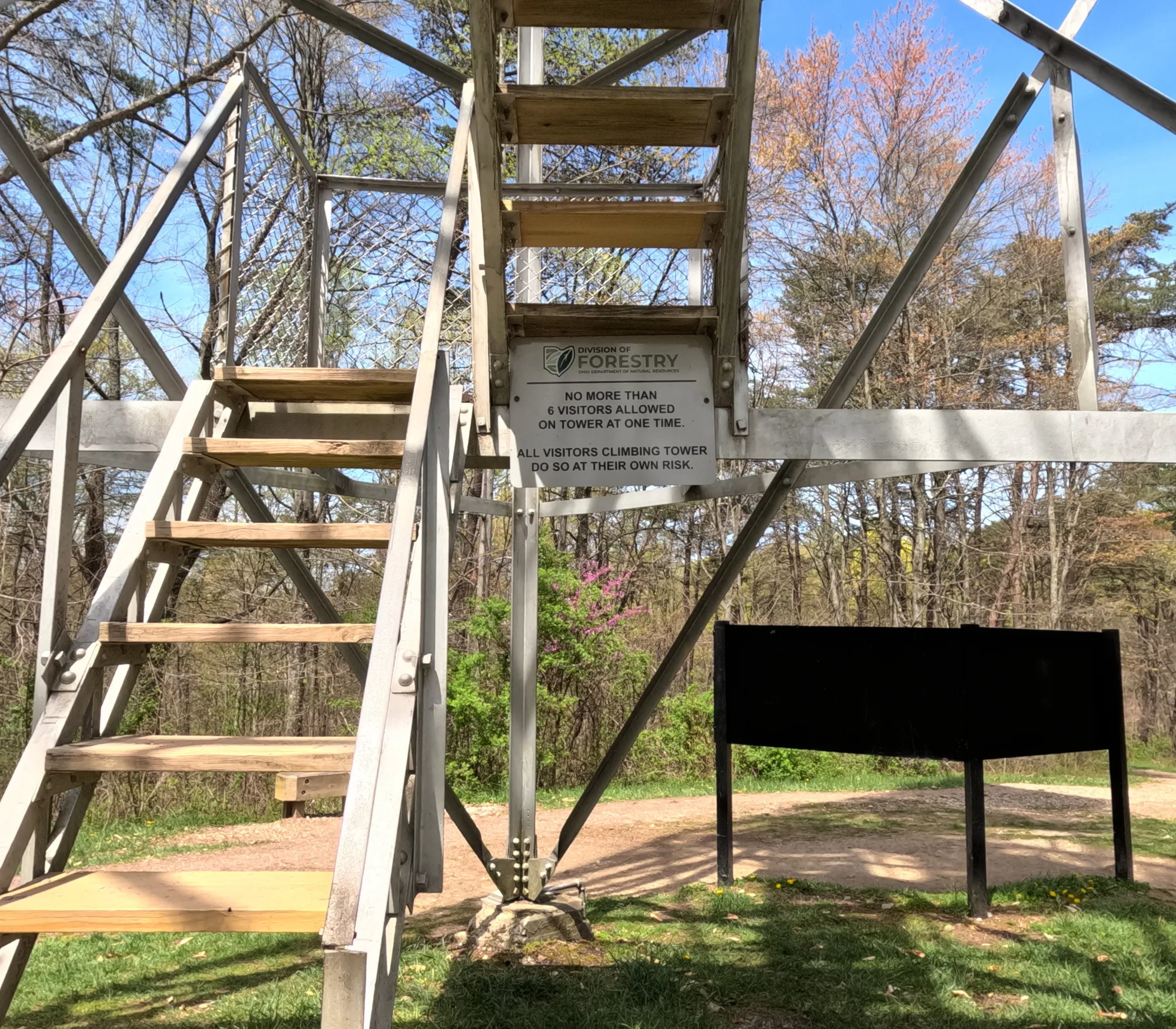

Fire wardens and foresters used wildfire lookout towers to spot blazes on Ohio lands. Ohio's fire towers were staffed by lookouts and equipped with binoculars, maps, a radio, telephone, and an alidade – a device used to pinpoint a wildfire location.
Aerial surveillance of wildfires by aircraft began in the 1940s, and Ohio’s fire towers were slowly phased out. The last tower was closed in 1978. While surveillance from fire towers is a thing of the past, they remain a proud symbol of forest conservation and a monument to the people who worked to preserve our natural resources.
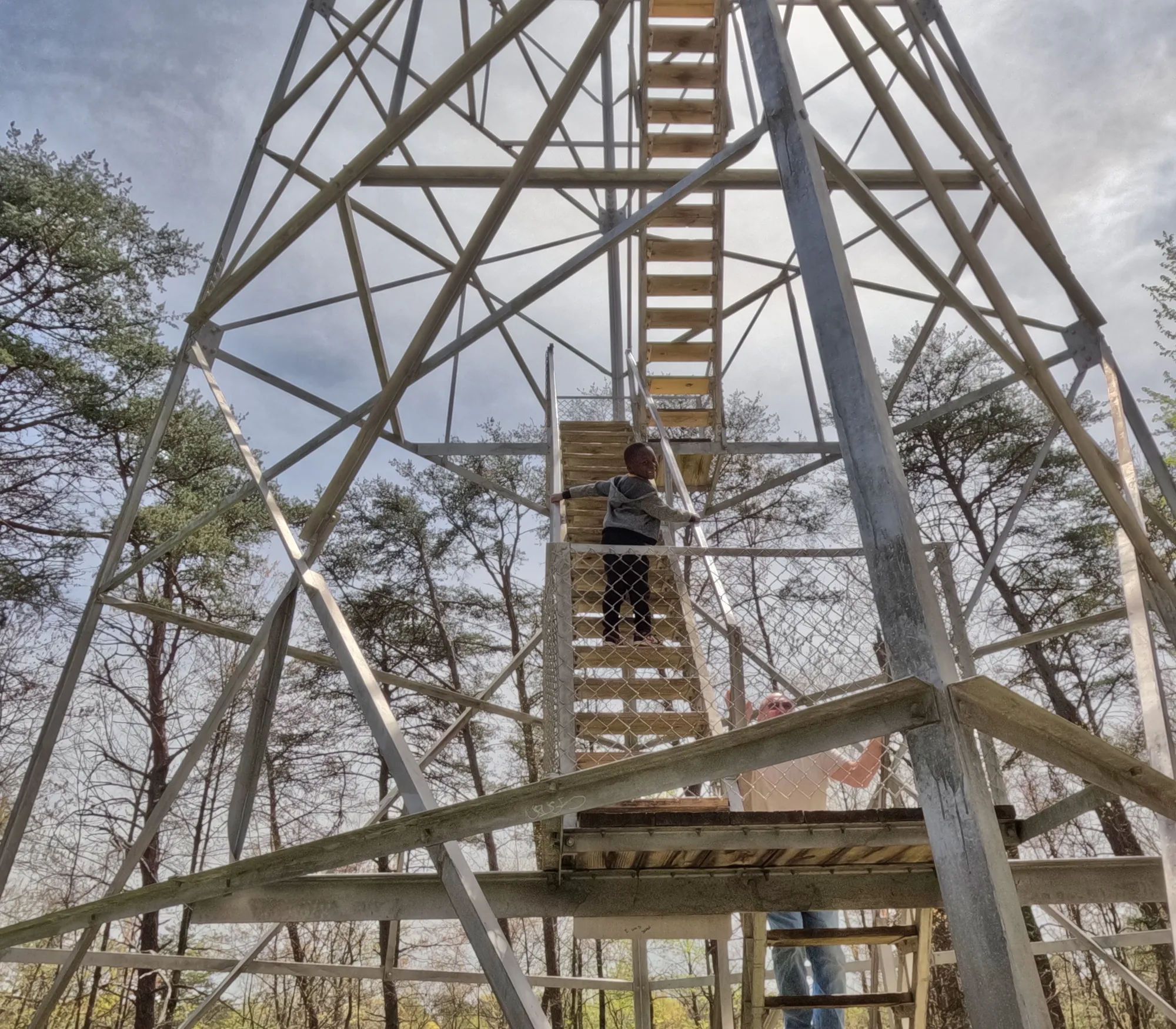
Climbing the Fire Tower
When weather conditions allow, visitors can climb the stairs of the tower at their own risk. From the top of the tower, the Ash Cave Fire Tower provides a magnificent 360-degree view of the surrounding forests and hills.
Hiking
Fire Tower Parking Lot: SR 374 South, Logan, 43138, (740)-279-4927
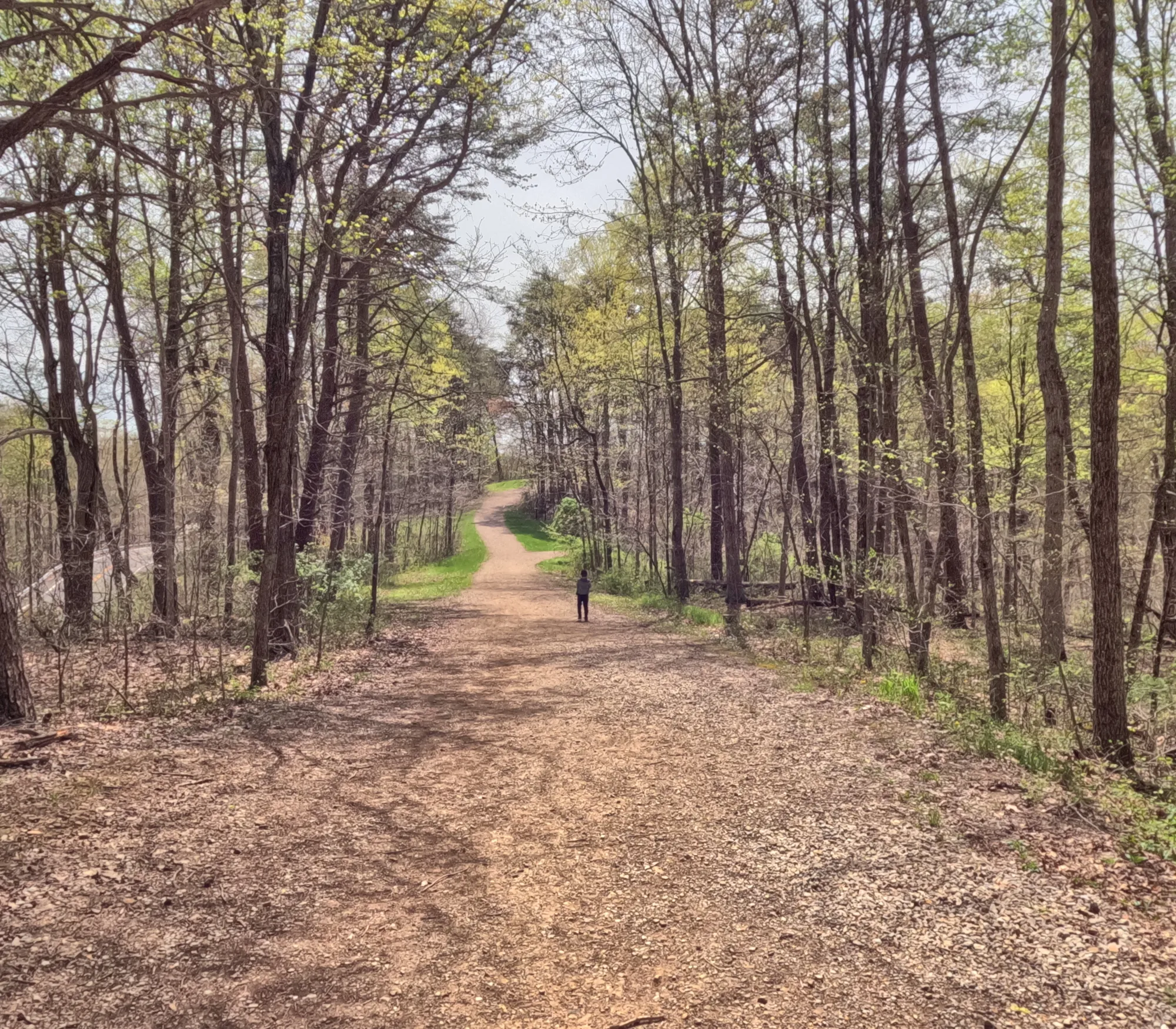
A parking area is located north of the Ash Cave Fire Tower at the corner of OH-374 and Chapel Ridge Road. The tower is then an approximate 550-feet hike south along Grandma Gatewood Trail.
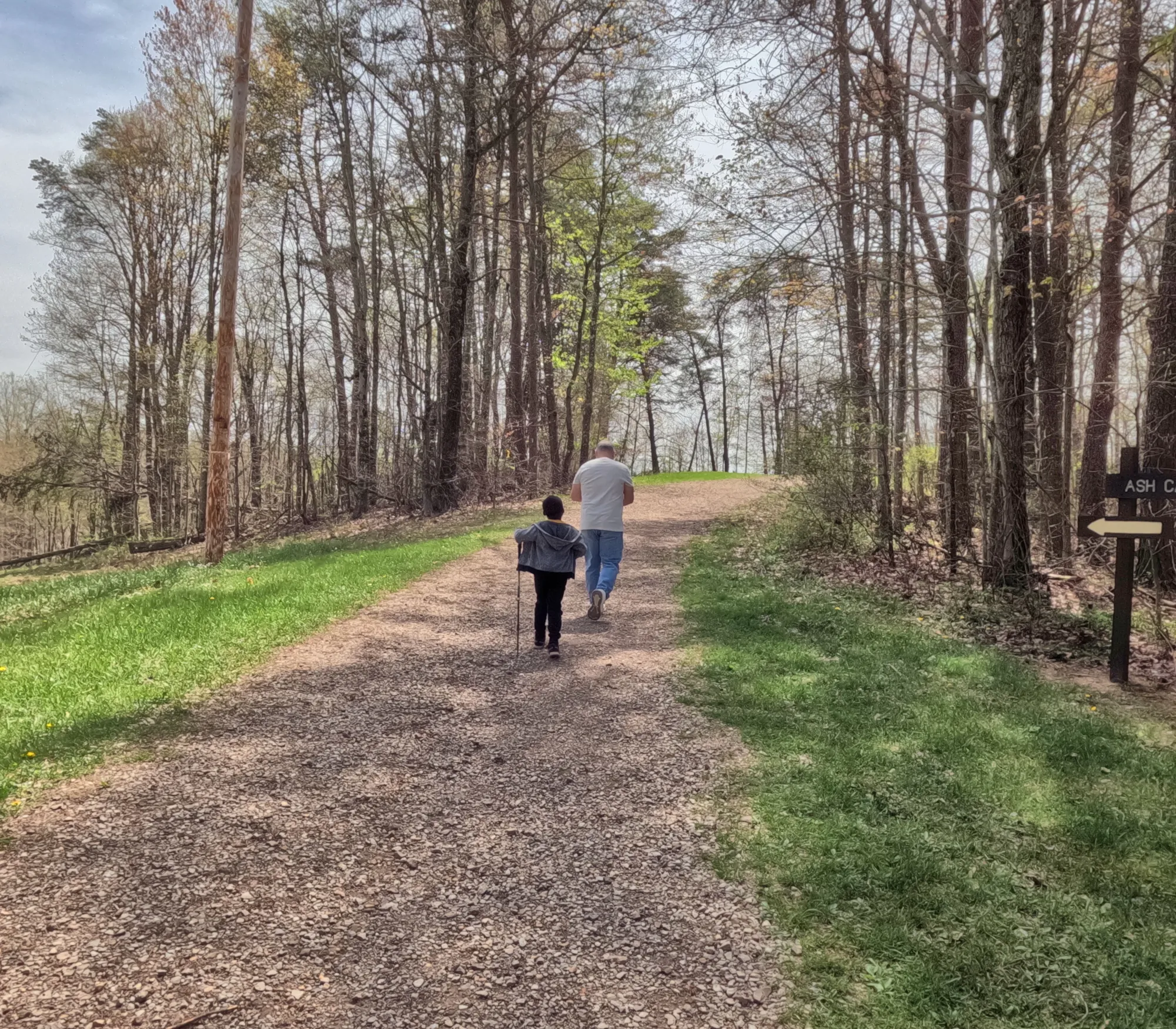
There are many trails in the area of the Ash Cave Fire Tower.
Fire Tower to Ash Cave Hike is an approximately 2-mile round trip hike from the Ash Cave Fire Tower to Ash Cave and back.
Conclusion
We went to explore the Ash Cave Fire Tower in the spring of 2025. It is taller than I thought it would be. I climbed several sections, but I got shaky at the last level I achieved. It was a beautiful view even though I didn't make it to the top. I actually climbed farther than I used to. Next time I will make it to the top......maybe.