Central Ohio Greenways (COG)
Trail Map
Interactive map showing the trail route for Central Ohio Greenways (COG). The map displays topographic information and trail markers.
Elevation Profile
Elevation data not available for this trail.
Chart showing elevation changes along the trail distance. Hover or focus on the chart to see specific elevation values at each point.
The first greenway-style trail in Columbus was built in 1976 along the Scioto River in downtown. Over the years, the trail network expanded beyond the city limits, linking parks, neighborhoods, and cultural landmarks.
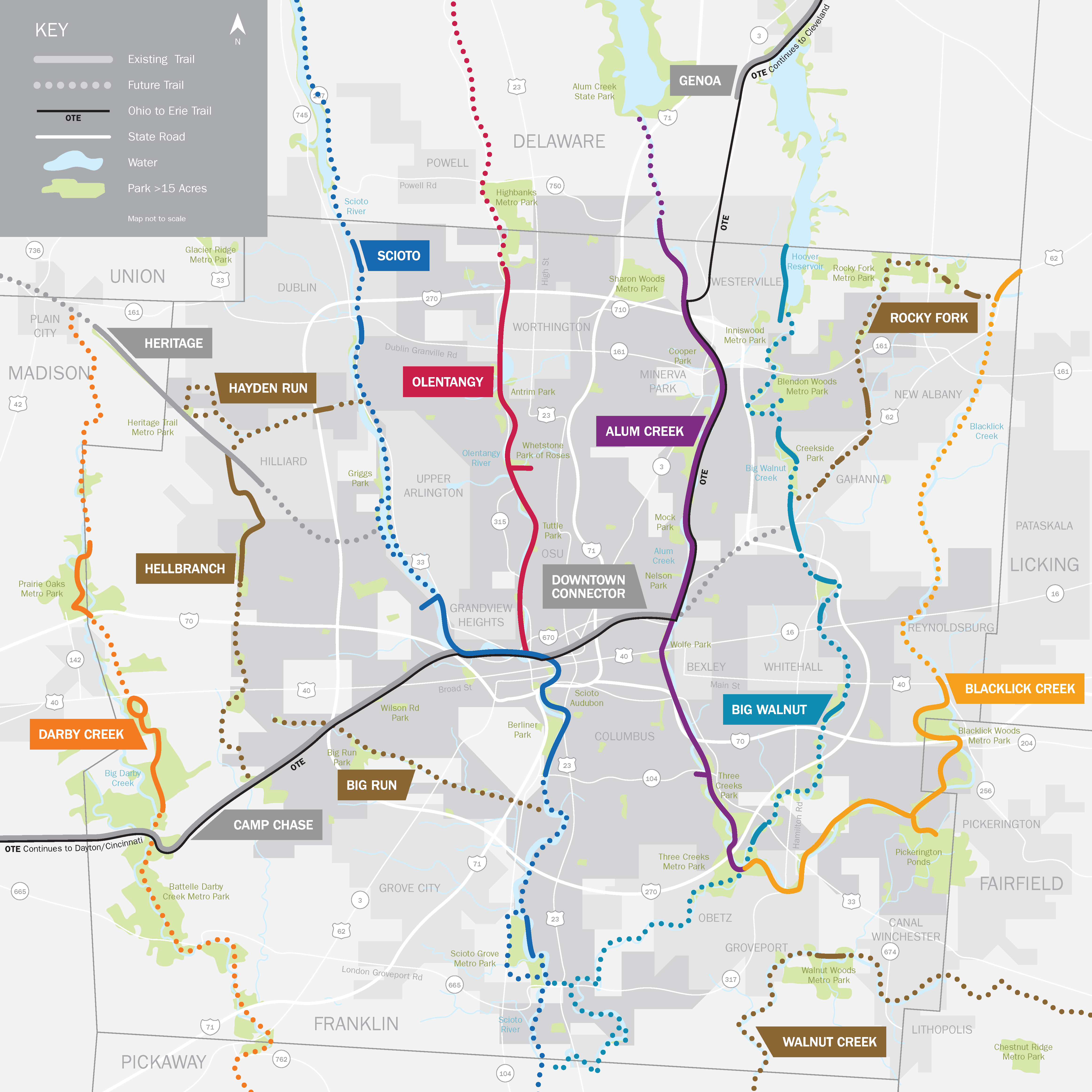
The Central Ohio Greenways is a regional, multi-municipality effort. The network now includes over 230 miles of multi-use trails. It’s managed via partnerships: Columbus Recreation & Parks Department handles construction and maintenance of trails within the city, while Franklin County Metro Parks oversees many segments. MORPC (Mid-Ohio Regional Planning Commission) and a Central Ohio Greenways Board support planning.
The Columbus Park Foundation has a “People Trail Project,” aiming to fund trail expansion so that a trail is accessible within 7.5 miles (or 15 minutes) for more residents.
Where Did The Land Come From For The Trails?
In Columbus, many greenways follow old railroad rights-of-way, now mostly public property, transformed into trails through a mix of purchases, donations, and partnerships.
Over time, railroads often change hands, with corridors starting under one company before being merged, sold, or abandoned, passing through owners like Penn Central or Conrail. Today, many trails and greenways are owned or managed by public agencies such as cities, park departments, or park districts, rather than active railroads. Some of this land is acquired through conservation grants like the Clean Ohio Trails Fund, while other parcels come from community groups or coalitions that purchase and donate them to parks, or from direct government purchases.
Examples of Trails Following Former Rail Corridor:
Linden Green Line-This is a 7-mile linear park in Columbus that will follow a former rail corridor. According to the project documents, Columbus Recreation & Parks acquired the abandoned rail corridor to build this greenway. The rail corridor had previously been owned by a railroad (or multiple, over time).
Heritage Rail Trail / Heritage Trail Metro Park-The Heritage Rail Trail is explicitly converted from an abandoned railroad right-of-way. The right-of-way belonged to older railroad companies: e.g., the Columbus, Piqua, and Indiana Railroad. In the 1990s, after the railroad was abandoned, a coalition (the Heritage Rail-Trail Coalition) raised funds to buy the corridor. Some of that land was donated to Metro Parks for the trail.
Whittier Peninsula / Scioto Audubon Area-Historically, the Whittier Peninsula (now part of Scioto Audubon Metro Park) was heavily used by railroads (e.g., Hocking Valley Railroad, Toledo & Ohio Central Railway). Over time, parts of that land changed hands; for example, some parcels were sold off from the railroad companies. Metro Parks and the City of Columbus now own much of the greenway / park land there.
Why Are Greenways Important?
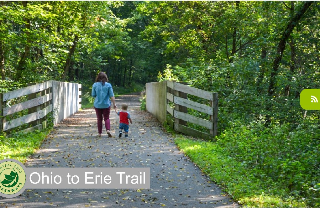
Columbus greenways are more than just places to play—they help preserve and restore natural habitats, especially along river corridors. They’re also important transportation routes, with many trails forming part of larger networks like the Ohio to Erie Trail, which stretches across the state. The Scioto Greenways project has been especially transformative, reclaiming land, improving the river’s ecology, and bringing new life to the riverfront. Strong coordination between the city, county, and planning commission keeps the greenways connected and cohesive. Altogether, these trails boost quality of life, support economic growth, and strengthen environmental resilience.
Directions
To get directions to the Central Ohio Greenways, you can use the following resources:
- You can search for "Central Ohio Greenways" on Google Maps to get specific trail directions and nearby spots.
- Check out the Central Ohio Greenways website for a detailed map of trails and bikeways.
- The trails are managed by Metro Parks, which shares helpful info about locations, and the Columbus Recreation and Parks Department also offers resources on how to access them.
- Greenway Trails Alerts
Sign up to get text alerts on your cell phone for Greenway Trail closings, hazards and construction information.
Text “Greenways” to 1-781-728-9542
or go to
https://mobile-text-alerts.com/metroparks and select “Greenways”
Central Ohio Greenway Trails
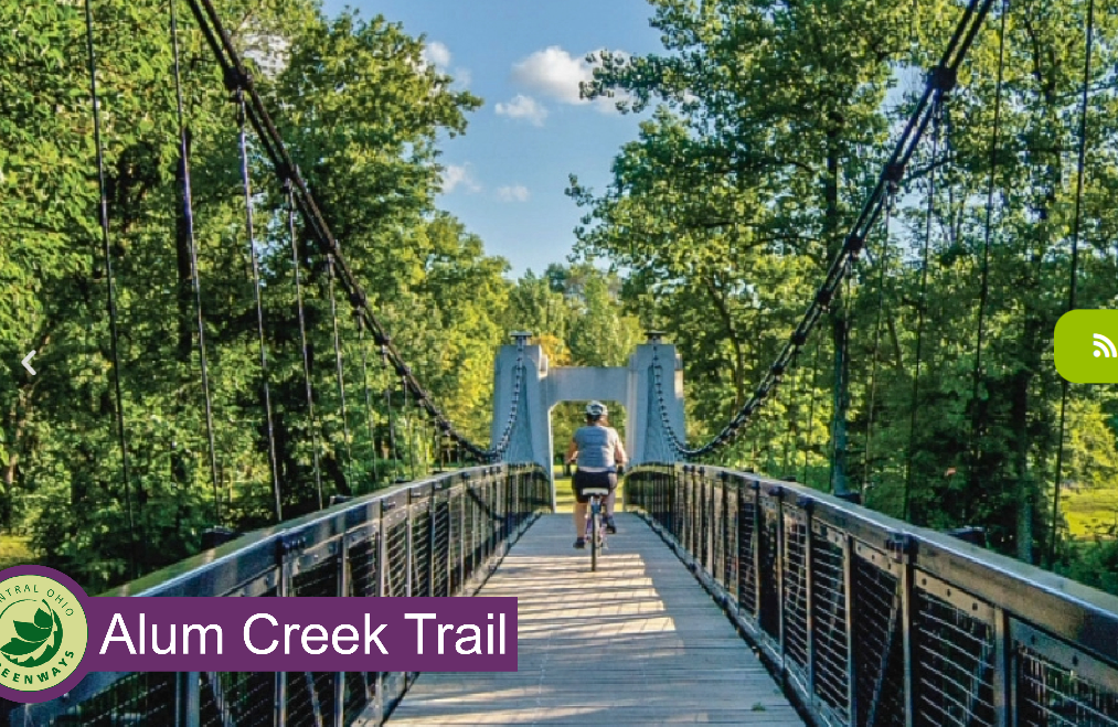
Alum Creek Trail
24.5 miles - paved – The trail runs south from Westerville to Three Creeks Metro Park. The Alum Creek Trail travels along one of the city’s most scenic river corridors, from Westerville through Columbus to Three Creeks Park. Sections of the Alum Creek Trail are also designated as part of the Ohio to Erie Trail and U.S. Bicycle Route 50.
Metro Parks manages a 22-mile section of the trail south of I-270 in Westerville to its end in Three Creeks, where it meets with the Blacklick Creek Trail.
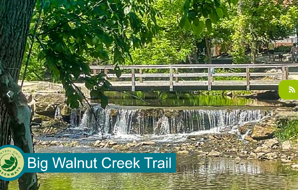
Big Walnut Trail
There’s a project to connect a segment along Big Walnut Creek to the Alum Creek Trail.
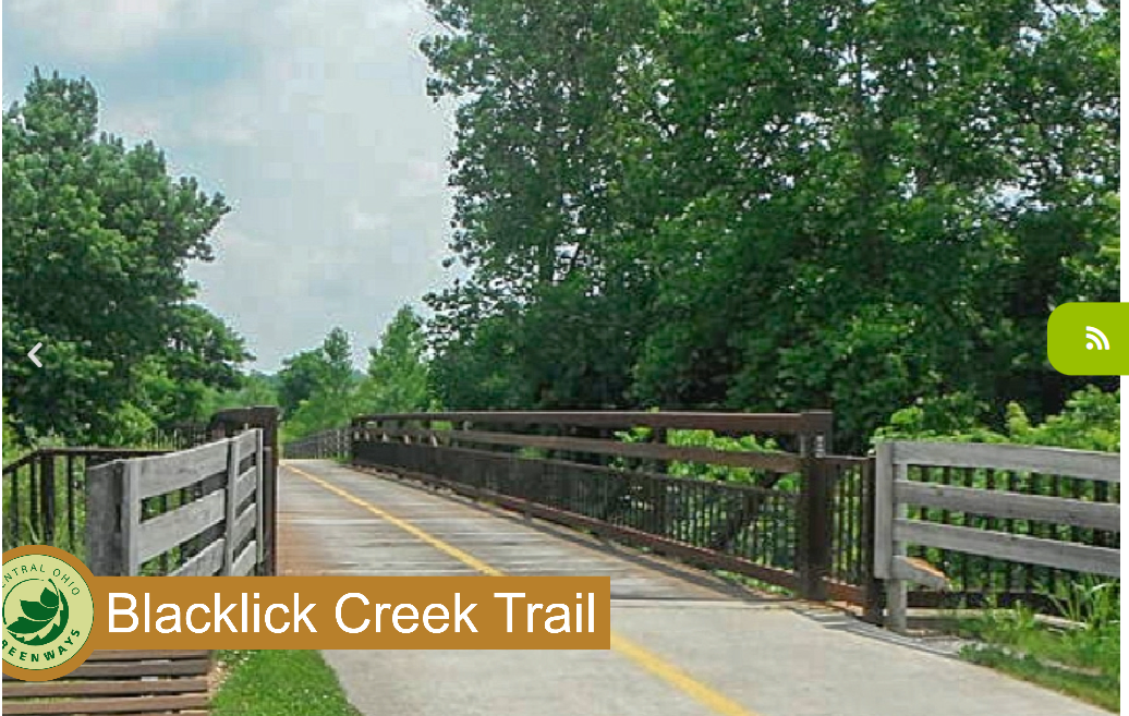
Blacklick Creek Trail
16 miles - paved – This scenic trail weaves users through the Blacklick Creek greenway corridor. Users of this trail can travel to three Metro Parks: Pickerington Ponds, Blacklick Woods and Three Creeks.
Metro Parks manages all sections of the Blacklick Creek Greenway Trail, except for a short section north of Blacklick Woods Metro Park.
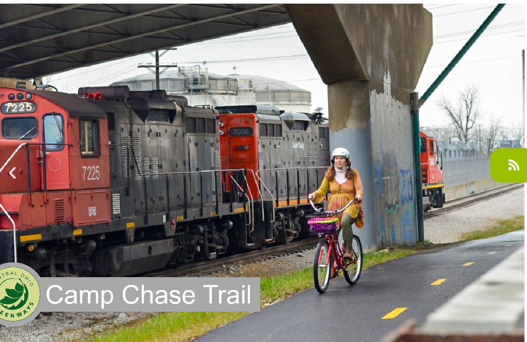
Camp Chase Trail (part of the Ohio to Erie Trail)
12.5 miles - paved – This bike trail takes users from Wilson Road in Madison County, weaves through Battelle Darby Creek Metro Park and continues to Sullivant Avenue in Columbus. It is also part of the more extensive Ohio to Erie Trail and US Bicycle route 50.
Metro Parks manages the Camp Chase Trail.
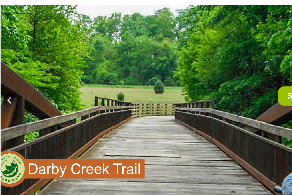
Darby Creek Trail
8.3 miles - crushed gravel – A 4.9-mile section of the trail runs through Battelle Darby Creek Metro Park. A 3.4-mile section runs through Prairie Oaks Metro Park.
Metro Parks manages all of the Darby Creek Trail.
Downtown Connector Trail
5 miles - paved – The bike trail travels from Fort Hayes, east along I-670, following Leonard Avenue. It connects to the Alum Creek Trail at Nelson Road.
Metro Parks manages a 0.75-mile section of the trail.
Genoa Trail
The Genoa Trail is part of the regional greenway network and appears on the Central Ohio Greenways site as a section of the larger Ohio to Erie Trail. This stretch runs from Big Walnut Road to Plumb Road and covers about 2.13 miles, offering an almost entirely wooded path with plenty of shade and opportunities to spot wildlife. Trailheads and parking can be found near the Hoover Nature Preserve and McNamara Park in Genoa Township. As part of the Ohio-to-Erie network, it serves both long-distance connections and local access.
Hayden Run Trail
The Hayden Run Trail, listed by Columbus Recreation and Parks as a developing Central Ohio Greenway, runs from Northwest Columbus to Hilliard along Hayden Run. Right now, about 1.97 miles of the trail exist in two separate sections. Once fully built as part of the Greenbelt Network, it will serve as a scenic link between the Heritage and Scioto Trails. It’s included in local transportation and trail planning, with ongoing projects like the funded “Hayden Run Trail Extension,” which will connect neighborhoods east of Leppert Road to Hilliard’s trail system, linking the Heritage Rail Trail, Hellbranch Trail, and more. Since it’s still in progress, the trail is in segments, so it’s best to check for closures and current connections before heading out for a ride or walk.
Hellbranch Trail
The Hellbranch Trail is part of the Central Ohio Greenways, running from Spindler Road Park to the Heritage Trail corridor, with a mix of asphalt and gravel sections. While shorter and more modest than some main spine trails, it plays an important role in connecting the Hilliard, Plain City, and northwest suburban areas. The Heritage Trail links directly with Hellbranch, stretching from historic Old Hilliard to Plain City, offering access to neighborhoods and parks along the way. Regional planning documents note that the Hellbranch corridor is slated for future connections and improvements, including potential extensions along Broad Street (US 40) to Roberts Road, so trail users should watch for gaps.
Heritage Trail
6.1 miles - paved – The trail runs from the historic Old Hilliard district to Plain City.
Metro Parks manages a 3.7-mile section of the trail.
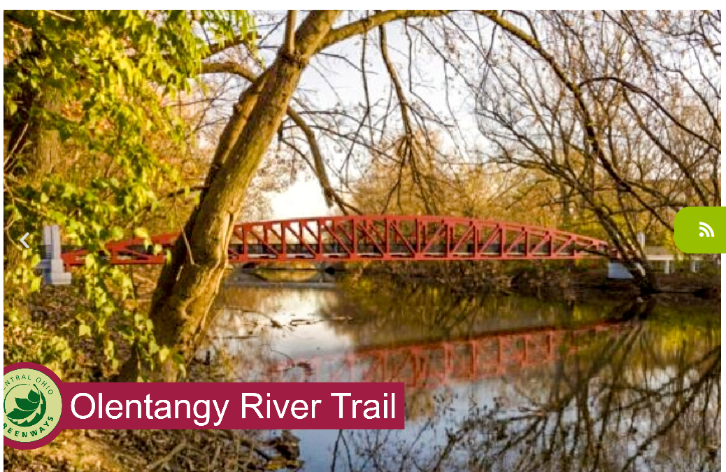
Olentangy Trail
15 miles - paved – This scenic trail takes users through the Olentangy greenway corridor, from Worthington Hills Park south to Confluence Park in downtown Columbus. Recently (2024–2025), parts of the Olentangy Trail are under construction for improvements.
Metro Parks manages 11 miles of the trail, from Worthington Hills to I-270 on the north side, Antrim Park to Lane Avenue, and King Avenue to Confluence Park.
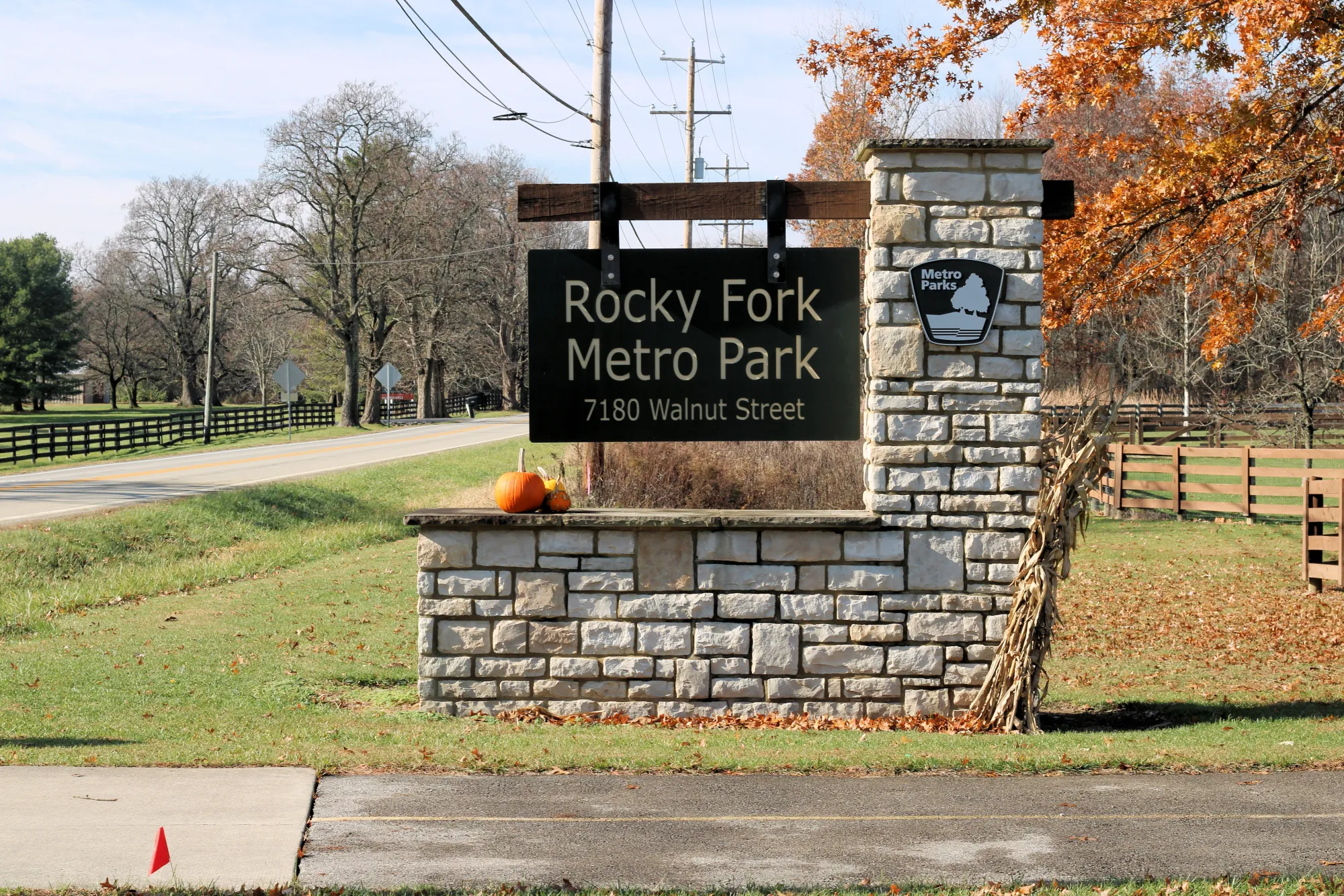
Rocky Fork Trail
The Rocky Fork Trail is an evolving Central Ohio Greenway along Rocky Fork Creek, connecting areas between Northeast Columbus, Gahanna, and New Albany. According to the COG site, about 3.57 miles of the trail currently exist, spread across five separate sections. Trailheads and nearby parks include Rocky Fork Metro Park, New Albany’s Bevelhymer Park, and Thompson Park, among others. Rocky Fork Metro Park features beautiful natural areas and scenic views along the creek, making parts of the trail great for walking or hiking. Since the trail is still segmented, keep in mind that it isn’t yet fully continuous across the corridor.
Scioto Mile and Scioto Trail
10 miles - paved – The trail stretches through the heart of Columbus alongside the Scioto River and runs through Scioto Audubon Metro Park. It is a great trail for commuting downtown.
Metro Parks manages 8 miles of the trail, from SR 104 north to Bicentennial Park, Veteran’s Memorial west to Souder Avenue, and Confluence Park west through Marble Cliff to Fifth Avenue, and patrols to other parts of the trail.
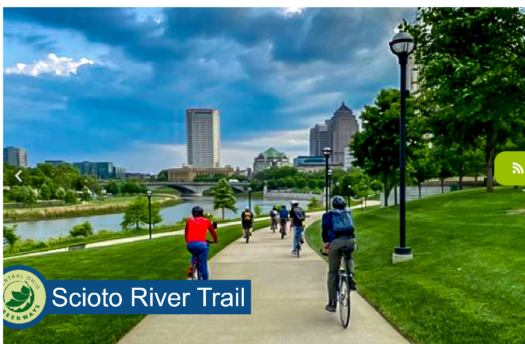
The Scioto Mile is the connected network of riverfront parks and promenades in downtown Columbus opened in July 2011.
The Scioto Greenways Project in downtown Columbus was part of the city’s 2010 Downtown Strategic Plan, with a major highlight being the removal of the low-head Main Street Dam. This change revealed land along the Scioto River that had been submerged, allowing for ecological restoration that reshaped the river, narrowed its channel, and created a more natural flow. Completed in November 2015, the project added 33 acres of greenspace, 1.5 miles of multi-use trails, and several river access points. Funded by a public-private partnership at a cost of about $36 million for the greenways portion, it has earned awards for design, sustainability, and implementation. Beyond recreation, it enhances river ecology and offers access for kayaks, canoes, and other non-motorized boats.
COG Board
Established in 2015, the COG Board’s mission addresses the demand to expand the number of trail miles, increase access to trails, and encourage the use of trails for everyone. In 2018, COG developed a Regional Trail Vision to add more than 500 miles of trails to its existing 230-mile network across seven counties. These proposed miles extend existing trails, fill gaps in trail corridors, connect neighborhoods to job centers, and create a truly interconnected network serving as the backbone of the region’s active transportation and outdoor recreation network. As Central Ohio’s population is projected to reach 3.1 million by 2050, trails will play an increasingly critical role in providing transportation alternatives, access to nature, and a sense of communal connection.
Outdoor Trails Pass Resources
A partnership between Experience Columbus and the Mid-Ohio Regional Planning Commission created the Columbus Outdoor Trail Pass. This program encourages residents and visitors to explore various Central Ohio destinations by utilizing Central Ohio Greenways and local trails. Participants are incentivized by being automatically entered into local gift card drawings whenever they check in at a destination with their pass. For details on this program and how to enroll, the Outdoor Trails Pass Resource Page serves as a valuable source. Additionally, the page features two maps outlining the pass’s curated itineraries. These thoughtfully crafted routes guide users on exciting adventures along the greenways, facilitating stops at various engaging destinations along the way.
Click Here to Access the Columbus Outdoor Trails Pass Resource Page.
Click Here to Access the Columbus Outdoor Trails Pass.
Conclusion
The Central Ohio Greenways "COG" are a wonderful way to explore the Columbus area. As more and more trails are finished, there is so much more to see. I highly suggest either a hike or biking on these trails. You won't regret it.

More in
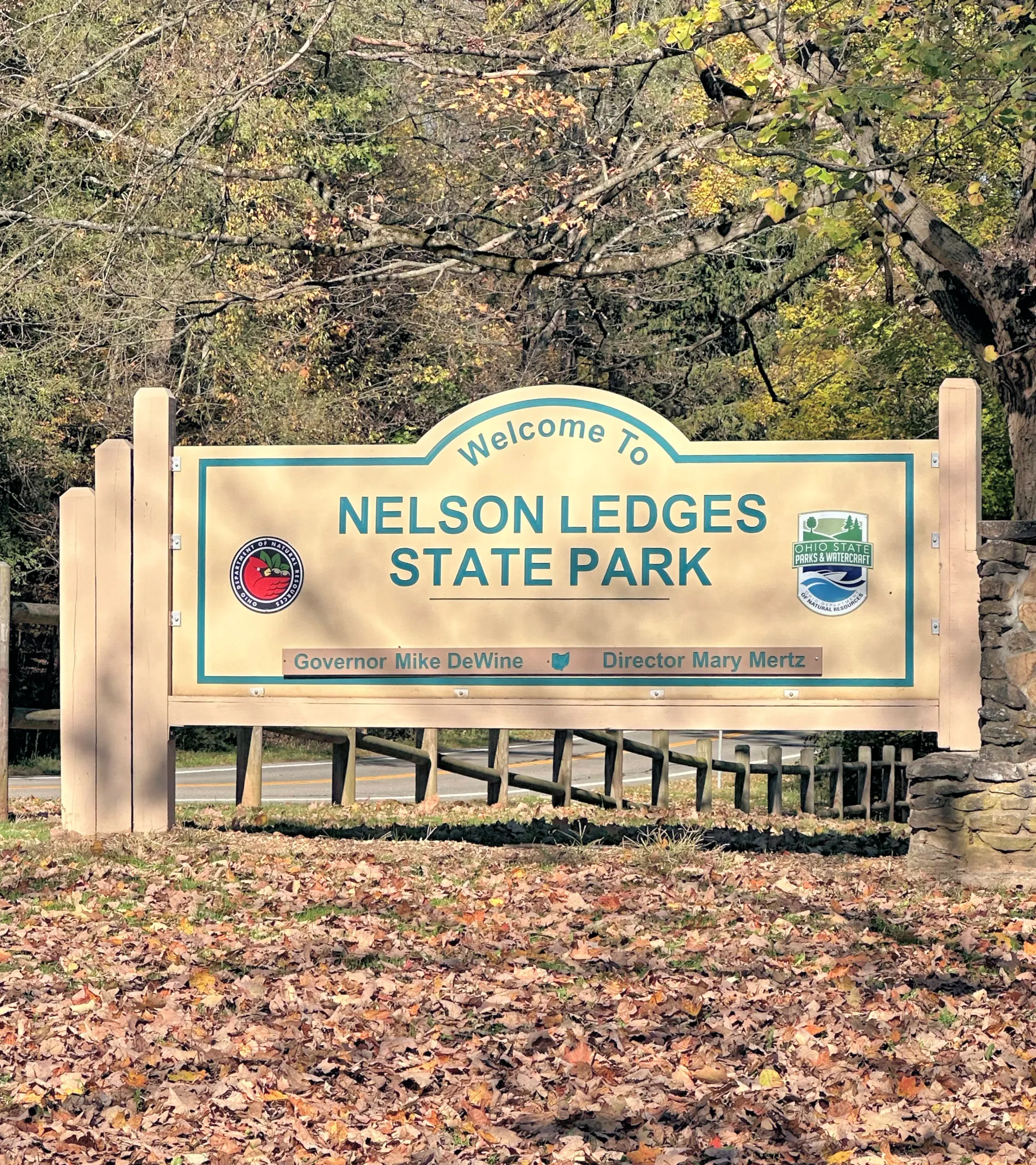
Nelson Kennedy Ledges State Park
About 3 miles of main hiking trails are available, with trail difficulty ranging from easy to very rugged and involving rock scrambles. The park’s trails vary from easy scenic loops to rugged and challenging rock scrambles.