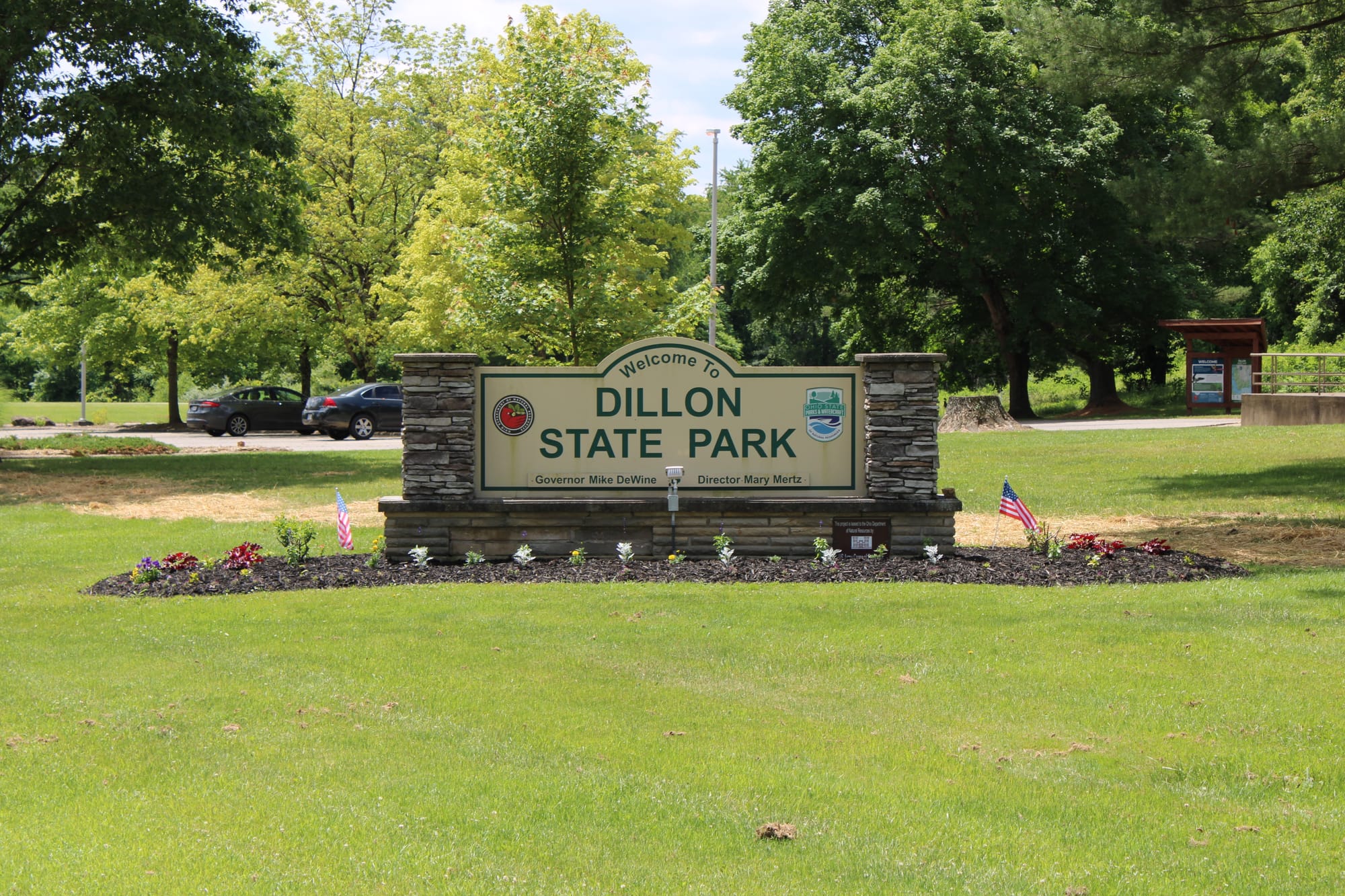
Dillon Dam State Park
Trail Map
Interactive map showing the trail route for Dillon Dam State Park. The map displays topographic information and trail markers.
Elevation Profile
Elevation data not available for this trail.
Chart showing elevation changes along the trail distance. Hover or focus on the chart to see specific elevation values at each point.
Dillon State Park, located in east-central Ohio, has 2,285 acres and offers a variety of outdoor activities.

The history of Dillon Dam and Lake is tied to flood control and water supply for the Muskingum River Basin. It was authorized by the Flood Control Act of 1938. The U.S, Army Corps of Engineers began construction in 1946, but faced delays due to funding issues and the Korean Conflict.
The dam's construction resumed in 1958, and it was completed in 1961. The dam is an earth-filled structure. It is 107 feet tall and 5,800 feet long. It created the Dillon Lake which covers about 1,560 acres.
Along with flood mitigation the dam also serves to provide water for various uses, including municipal and industrial needs.
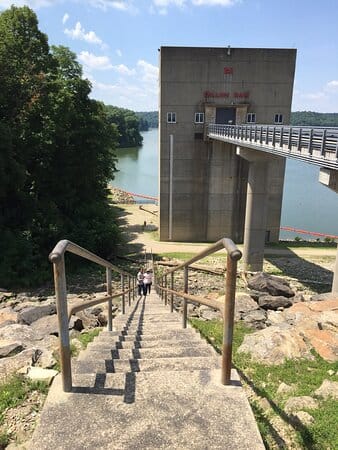
Village of Dillon
Dillon has a history tied to the development of the region in the 19th century, particularly around industrialization, transportation, and the growth of the railroads.
The area that would become Dillon was initially inhabited by Native American tribes before European settlers arrived in the late 18th and early 19th centuries. The land was part of the larger migration of settlers into what was then the western frontier of the United States as Ohio became a state in 1803.
Dillon was formally established in the early 19th century. The village was originally part of the land set aside for agricultural development and grew slowly over time as more settlers arrived. The name "Dillon" is believed to have come from an early settler or landowner, though the precise origin of the name is not always documented in historical records.
The village began to grow significantly in the mid-19th century, partly due to the development of the railroad system. The construction of railroads helped connect smaller villages like Dillon to larger cities, and this contributed to its growth as a small, rural industrial center. Additionally, like many Ohio towns during this period, Dillon's economy was linked to agriculture, including the production of crops like corn and wheat, and livestock farming.
The creation of the Dillon Reservoir also led to the relocation of some existing homes and businesses, which affected the local population in various ways. The community, like many others, experienced a shift as the local economy adapted to the opportunities and challenges posed by the reservoir and its surrounding infrastructure.
Under a license from the federal government, the Ohio Department of Natural Resources, Division of Wildlife and Division of Parks and Recreation manage 8,200 acres of Dillon Reservoir area for wildlife and general recreational purposes. Wildlife management work on the 3,612-acre wildlife area has included protection and improvement of existing woodlands, selective maintenance of shrubby coverts, maintenance of permanent grasslands, maintenance of openland by cropland management, and improvement of the seasonal marshland. Hunting and fishing are the major recreational uses, along with nature study, hiking, boating, and bird watching.
Dillon Dam State Park:
- Establishment: Dillon State Park in Ohio was established in 1961 and is located in Muskingum County, near the village of Dillon, about 10 miles northwest of Zanesville. The park is centered around Dillon Reservoir, also known as Dillon Lake.
- Dam: The Dillon Dam and Reservoir are managed by the U.S. Army Corps of Engineers.
- State Park: The surrounding land is part of the Dillon State Park. It is managed by the Ohio Department of Natural Resources.
- Address: Dillon Dam State Park, 5185 State Route 146, Nashport, OH 43830
- Coordinates: Approximately 40.132° N latitude, 82.105° W longitude
- Phone: (740) 453-4377
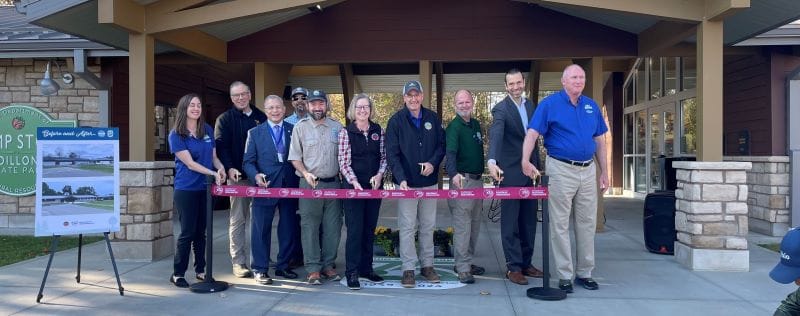
The Ohio Department of Natural Resources (ODNR) celebrated the official opening of the Dillon State Park Nature Center and renovated camp store on November 7, 2024, with a ribbon-cutting ceremony. These improvements offer visitors improved services and educational experiences for years to come.

Hiking Trails
Trail Maps: Obtain a trail map from the park office or website to help navigate the trails and ensure you stay on marked paths.

Here’s an overview of some of the trails:
1. Dillon State Park Trail System
- Length: Various, ranging from 0.5 miles to about 5 miles
- Difficulty: Easy to Moderate
- Description: The state park has a variety of smaller, interconnected trails that pass through wooded areas and offer scenic views of the lake. The trails range in length, making them suitable for shorter hikes or longer outings.
- Trail Features: Most of the trails are relatively easy, with some gentle inclines, and are great for a leisurely walk or family outing. Some trails are mentioned below:
- Blackberry Ridge — 0.6 Mile — Moderate
- Bog Loop — 1 Mile — Easy
- Eagle Ridge Loop — 0.8 Mile — Moderate
- King Ridge Loop — 1 Mile — Moderate
- Licking Bend — 4.4 Miles — Moderate
- Ruffed Grouse Loop — 0.6 Mile — Moderate
- Storybook Trail — 0.5 Mile, it is paved — Easy; allows bicycles
- A number of trails in the park are multi-use (hikers, horseback riders and mountain bikers); hikers are permitted on most trails. Trails are marked when certain activities are prohibited (eg, "no hikers," "no bikes" or "no horses").
2. Lake Trail (Dillon State Park)
- Length: 1.4 miles (round trip)
- Difficulty: Easy
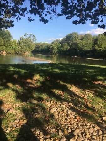
- Description: The Lake Trail is a short, easy loop that follows the shoreline of Dillon Reservoir. It’s ideal for beginners or families with small children, as the trail is mostly flat with only a slight incline in some sections. The trail offers beautiful views of the reservoir and opportunities to spot wildlife, particularly birds and waterfowl.
3. Wildlife Trail (Dillon State Park)
- Length: 1.5 miles (loop)
- Difficulty: Easy to Moderate
- Description: This trail winds through woodlands and grasslands, offering a good opportunity for birdwatching and observing local wildlife. It’s an easy-to-moderate trail with some gentle inclines. The trail provides lovely views of the surrounding forested landscape and the reservoir.
4. Dillon Overlook Trail
- Length: 1.5 miles (round trip)
- Difficulty: Moderate
- Description: The Dillon Overlook Trail takes hikers to an elevated viewpoint, where visitors can look out over Dillon Reservoir and the surrounding area. The trail is slightly more challenging due to the elevation gain but offers rewarding views from the top.
5. Hickory Ridge Trail
- Length: 3.5 miles (loop)
- Difficulty: Moderate
- Description: The Hickory Ridge Trail is one of the longer trails in Dillon State Park. It follows a path through a forested area with some moderately steep sections. Hikers on this trail will encounter diverse habitats and enjoy more solitude compared to the shorter, more heavily trafficked trails. The trail offers some moderate elevation changes and scenic views of the park’s forested areas.
6. Redbud Trail
- Length: 0.6 miles (loop)
- Difficulty: Easy
- Description: This short loop trail is great for beginners and families. The trail is mostly level and runs through a forested area, offering a relaxing walk among the trees. It is particularly beautiful in spring when the redbuds are in bloom.
7. Browns Run Trail
- Length: 5.2 miles (loop)
- Difficulty: Moderate to Difficult
- Description: For a more challenging hike, the Browns Run Trail is a longer trail that offers a mix of steep ascents and descents. It offers a more rugged experience through the park’s forests and hills, making it ideal for experienced hikers. This trail provides the opportunity to experience some of the more rugged, natural beauty of the park, as well as a great workout.
8. Dillon Trail
- Length: Approximately 6 miles
- Description: This trail offers a scenic hike around Dillon Lake, providing beautiful views of the water and surrounding landscape. It is a relatively flat trail, making it suitable for most hikers. The trail is great for enjoying nature and spotting wildlife.
9. Bicentennial Trail
- Length: About 2 miles
- Description: This trail is shorter and provides a more moderate hiking experience. It features a loop around the park with diverse scenery, including woodlands and open areas. It’s ideal for a quick hike or a leisurely stroll.
10. South Trail
- Length: Approximately 4 miles
- Description: The South Trail provides a mix of forested and open terrain. It includes some gentle elevation changes and offers views of the surrounding countryside and lake. It’s a good choice for a moderate hike.
11. North Trail
- Length: Roughly 3 miles
- Description: This trail explores the northern part of the park and includes scenic views of the lake and wooded areas. It’s a relatively easy hike, suitable for families and casual hikers.
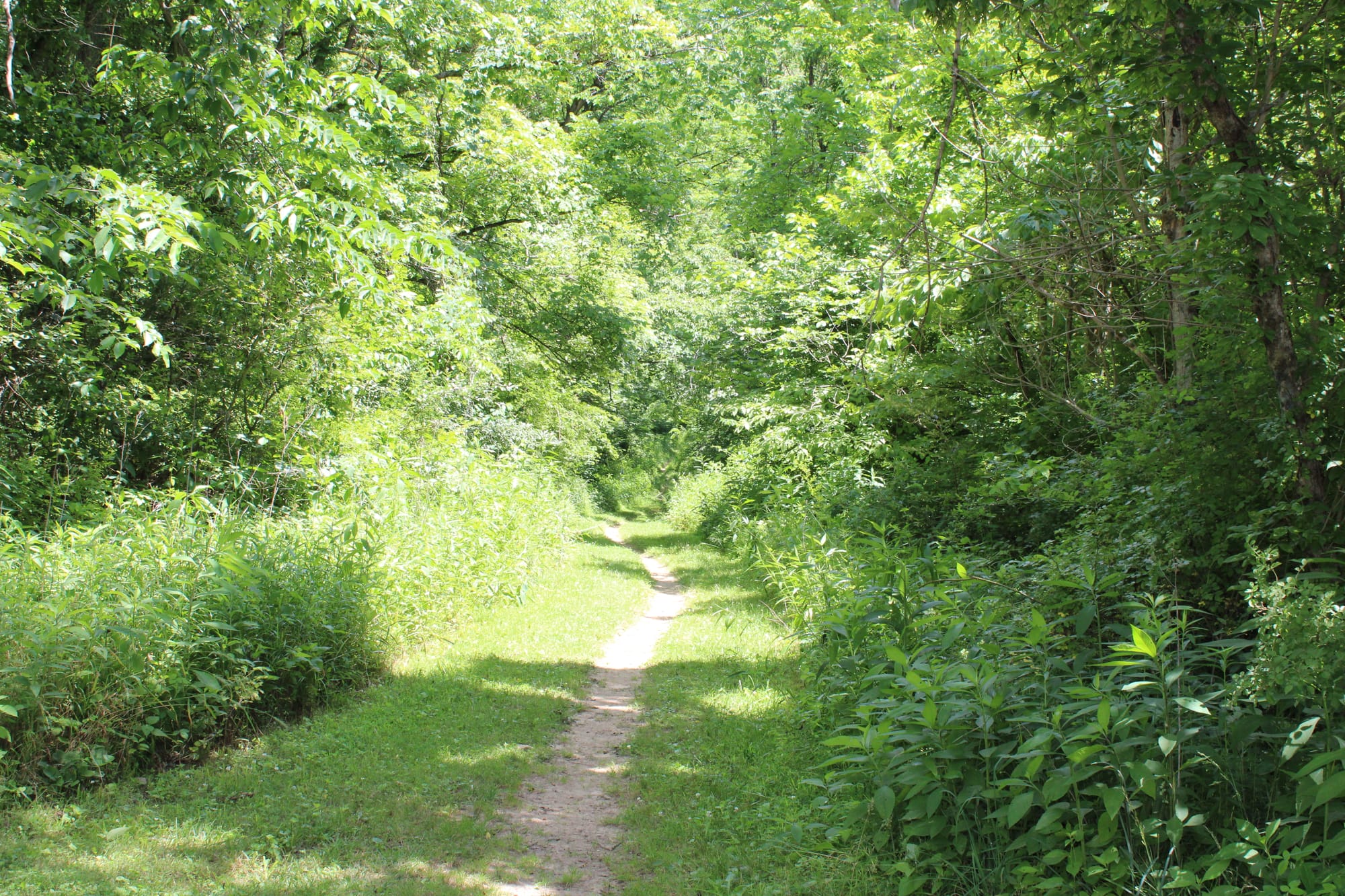


Besides Hiking....
Dillon Dam State Park has many other options to enjoy the outdoors:
- Campgrounds: Dillon Dam State Park features several campgrounds, including both electric and non-electric sites. There are also primitive sites available.

- Facilities: Campgrounds typically include restrooms with showers, picnic tables, and fire rings. Reservations are recommended, especially during peak seasons.
- Tables and Shelters: There are several picnic areas with tables and shelters throughout the park. Some areas are equipped with grills and trash receptacles.
- Playground: There is a playground area for children, providing a fun space for families.
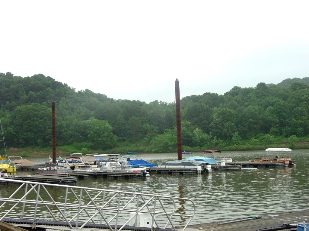
- Marina: Dillon Lake has a marina where you can rent boats and other watercraft. There are also boat ramps for launching your own vessel.

- Fishing: The lake is stocked with various fish species, including bass, crappie, and catfish. Fishing is allowed, and there are several fishing areas around the lake.
- Reservable Shelters: There are shelters available for group picnics and events. These can be reserved in advance for larger gatherings or special occasions.
- Facilities: Restroom facilities are available throughout the park, including near the campgrounds and picnic areas. Most include running water and basic amenities.
- Information: The park has a visitor center where you can obtain maps, information on park activities, and learn about the park’s history and wildlife.
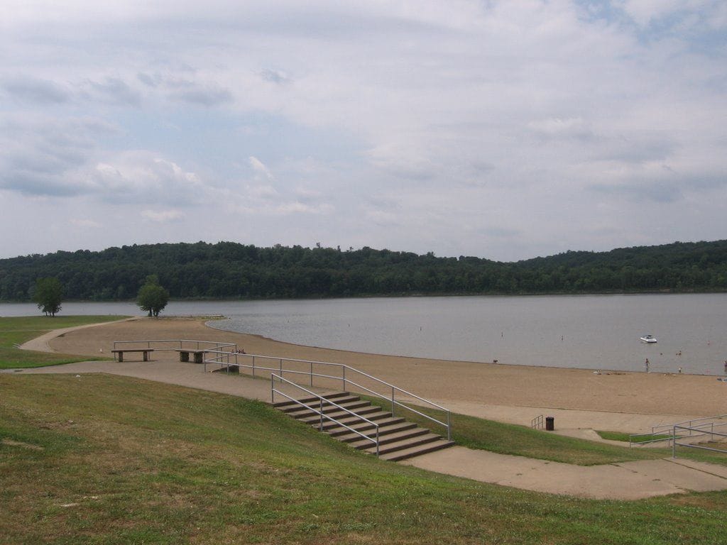
- Beach Area: Dillon Lake features a designated swimming area where visitors can enjoy a dip in the lake. Be sure to check for any water safety advisories or rules.

- Fishing Opportunities: The lake offers ample fishing opportunities. You’ll find several spots around the lake ideal for casting a line.
- Bird Watching and Wildlife: The park is home to a variety of wildlife, including birds, deer, and other animals. It’s a great spot for nature enthusiasts and wildlife watchers.
Notable Flooding Events on the Muskingum River
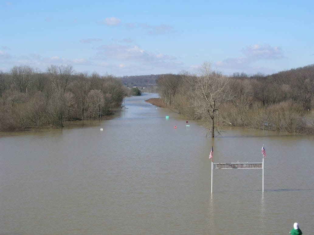
The dam has significantly reduced the risk of major flooding in the Muskingum River basin, though extreme weather events can still present challenges.
1937 Flood
- Description: The Great Flood of 1937 was one of the most severe flooding events in the Ohio River Valley region, which includes the Muskingum River. This event was triggered by a combination of intense rainfall and already saturated ground.
- Impact: The flood caused extensive damage in many cities and towns along the Ohio River and its tributaries, including the Muskingum River. It led to significant property damage, displacement of residents, and economic losses.
1959 Flood
- Description: In August 1959, a combination of heavy rainfall and the remnants of a tropical storm contributed to significant flooding along the Muskingum River.
- Impact: The flood resulted in widespread damage to homes and infrastructure, with many communities experiencing severe property damage. This event highlighted the need for improved flood control measures.
1969 Flood
- Description: Heavy rains in April 1969 led to substantial flooding along the Muskingum River.
- Impact: The flood caused considerable damage in several communities. It also spurred further investment in flood control infrastructure, including the Dillon Dam, which was constructed to mitigate future flooding.
1982 Flood
- Description: In January 1982, a combination of heavy rainfall and rapid snowmelt led to significant flooding in the Muskingum River basin.
- Impact: This flood event caused damage to property and infrastructure and raised awareness about the need for ongoing flood management efforts.
2005 Flood
- Description: In July 2005, intense rainfall from a series of storms led to significant flooding along the Muskingum River.
- Impact: The flooding caused considerable damage to homes and businesses in affected areas. It also prompted further discussions about flood management and mitigation strategies.
2011 Flood
- Description: The spring of 2011 saw heavy rains and storms that resulted in flooding along the Muskingum River.
- Impact: The flood led to property damage and disruptions in communities along the river. It underscored the importance of effective flood management systems and community preparedness.

Personal Experience
We have visited Dillon Dam State Park many times. It is pretty close to where we live. The park never disappoints. The scenery is beautiful and there is a variety of hiking trails suitable for different skill levels, from easy walks along the reservoir to more challenging hikes that provide panoramic views of the area.
Whether you're a beginner or an experienced hiker, you’ll find a trail that matches your fitness level and gives you a chance to explore the natural beauty of the region.
When you have the opportunity to visit Dillon Dam State Park, you won't be disappointed.

If you have any questions or would like to contribute to our blog. Please contact us.
