I Got a Free Year of Komoot. Here's My Honest First Take as an Ohio Hiker.
Disclosure, up front and in plain sight: komoot reached out and handed me a free year of their Premium plan to try it. I took it. Read everything below with one eyebrow raised — that's the honest way to read a review that started with a freebie.
⏱️ The quick version A European trail-planning app emailed me because of my Ohio bison guide and gave me a year of Premium for free. I've spent two weeks poking at it. The planning tools are a real leap over the Google Maps fumbling I've done for years — but the company behind it was gutted by new owners in 2025, and its U.S. trail coverage is thinner than its European reputation. Verdict so far: impressed, a little nervous, and very glad I'm not paying yet.
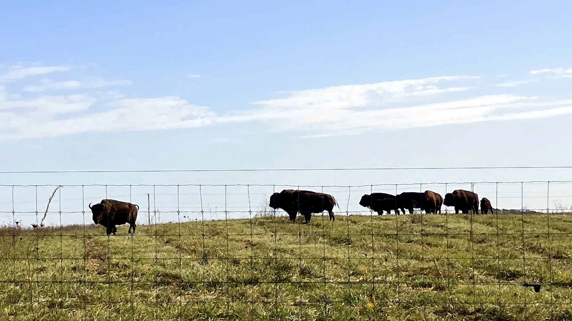
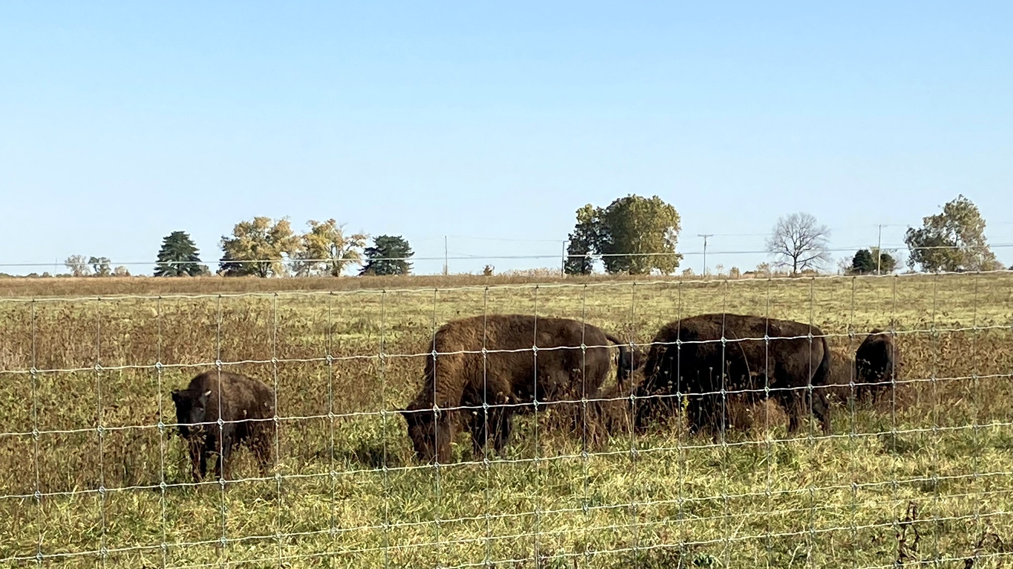
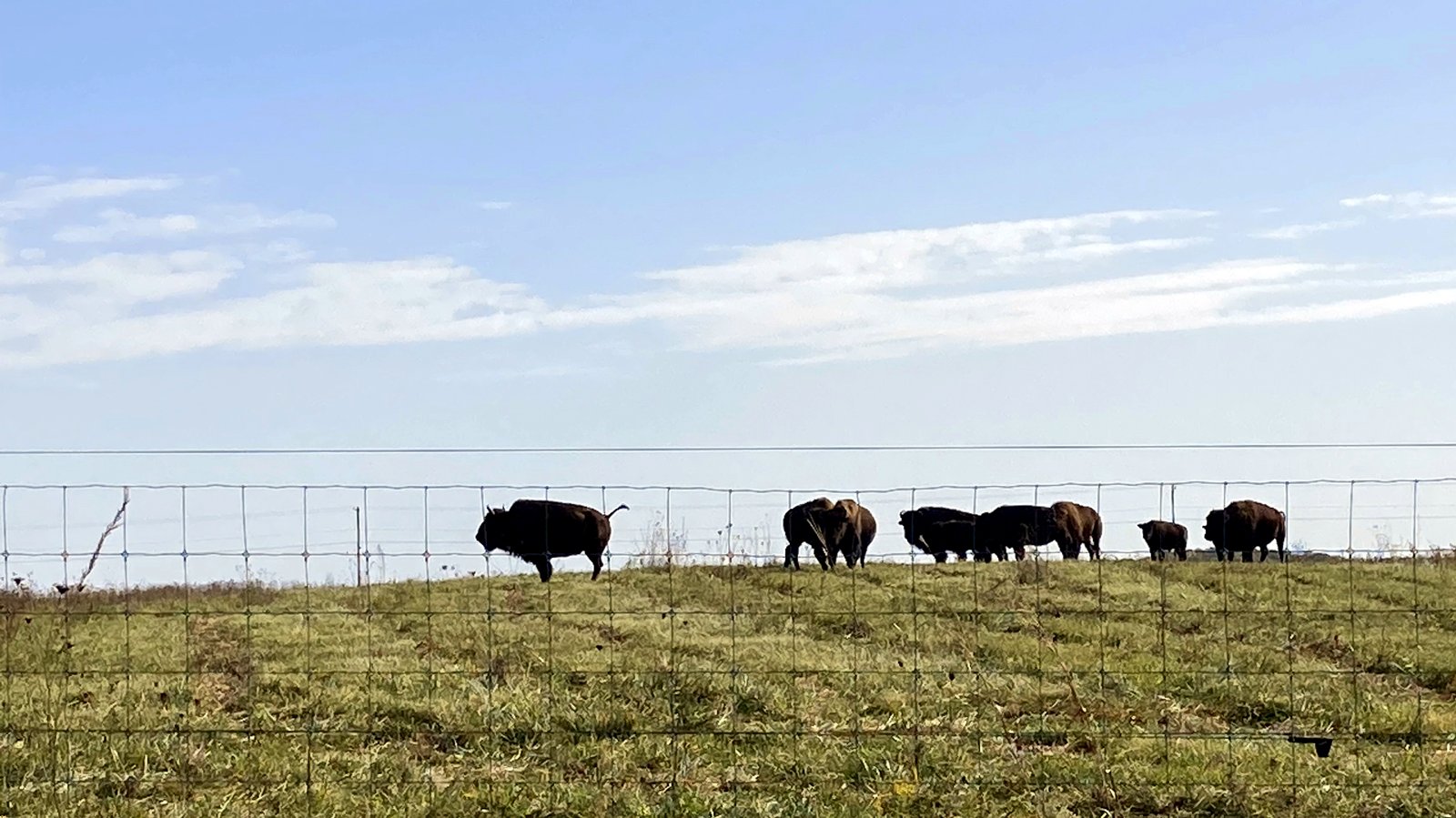
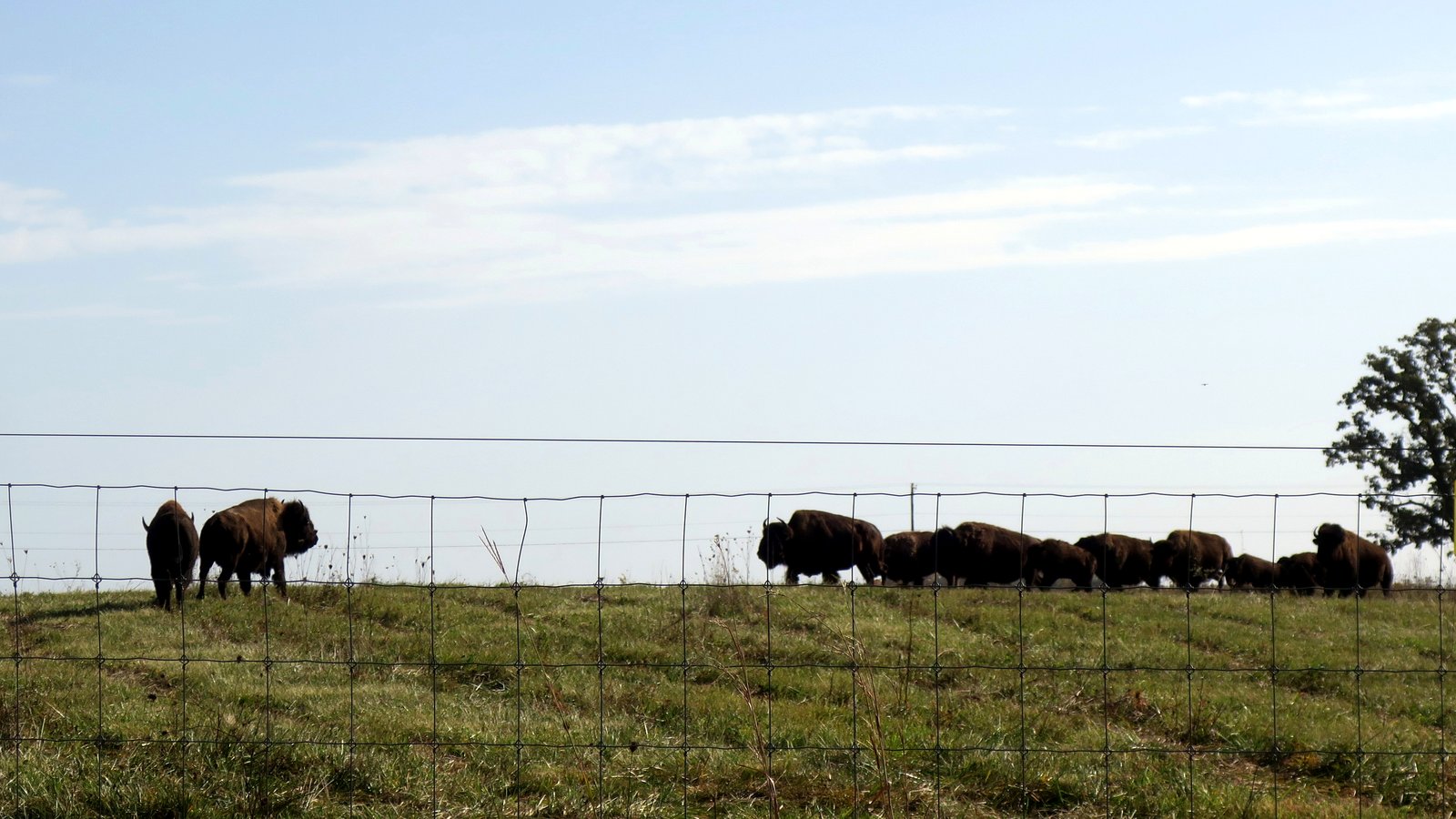
There's a spot at Battelle Darby Creek where the trail runs along a fence line, and on the other side of that fence, more often than not, there are bison. Actual bison. In Ohio. Twenty minutes from a Kroger.
The first time I took my seven-year-old out there, we stood at that fence for a solid ten minutes while I tried to work out — on Google Maps, like an amateur — which of the trails ahead would loop us back to the car without tacking on a couple of miles neither of us had the legs for.
Google Maps had no idea. A gray void, a thin dashed line, and a blue dot that was, allegedly, me. No elevation. No surface. No "this one dead-ends at the creek." Just vibes. We guessed wrong, the way you always do, and the "are we there yet?" started somewhere around the prairie.
I've used Google Maps for hiking the way you'd use a butter knife as a screwdriver: it technically works, right up until it really, really doesn't. So when an actual trail app showed up in my inbox, I paid attention.
The honest part
A woman named Fede, from komoot, emailed me. Not a form letter — she'd read my guide to the Columbus metro parks and quoted my own line about the Darby Creek Greenway threading between the two bison pastures right back to me. (Reader, I am not made of stone. Flattery works.)
komoot — lowercase k, they're European and committed to the bit — is a route-planning app that's enormous with cyclists and long-distance hikers across the Atlantic. The pitch came with a gift: a free year of komoot Premium, no strings. Just try it and tell people what you think.
I took the free year. I'm telling you that in the first hundred words because "here's a free thing, now go love it in public" is exactly the arrangement that should make you suspicious of everything that follows.
So stay suspicious. I'll try to earn it back.
Library vs. planner: what komoot actually is
Most American hikers have an AllTrails-shaped hole in their phone. And AllTrails is great — but it's fundamentally a library. You browse trails other people have already walked, and you pick one to follow.
komoot is a different animal. komoot is a planner. You drop a start and a finish, and it builds the optimal route between them, hands you the elevation profile, and tells you the surface — paved, gravel, dirt, singletrack — before you commit a single step. There's a feature called Trail View that surfaces real photos of the path, so you can see the mud before you're standing ankle-deep in it.
Here's the same trail question, three apps:
| What I actually want on a trail | Google Maps | AllTrails | komoot |
|---|---|---|---|
| Where am I, exactly? | Sort of | Yes | Yes |
| What's the surface ahead? | No clue | Sometimes | Yes — Trail View |
| Plan my own custom loop | No | Limited | Its whole reason to exist |
| Works with zero signal | No | Paid add-on | Yes — Premium, worldwide |
| Trail conditions this week | No | Best in class | Thin in the U.S. |
For someone who keeps guessing wrong at trail junctions, that third row is the entire ballgame.
The stuff that genuinely won me over
I went in skeptical. A few things flipped me anyway — and since I'm supposed to be the suspicious one here, take it as meaningful that I'm enthusiastic about any of it.
The planner is the headline. Even just poking at it — dropping a pin, watching komoot propose a route with the elevation and the surface already attached — did more for me than Google Maps has managed in years. I'm a control freak about my own routes, and this is the first tool that lets me build one instead of just borrowing someone else's.
The free year of Premium unlocks the parts I'd actually pay for:
- 🗺️ Offline maps for the entire world — so the dead zone past the Darby prairie stops mattering. komoot recently made offline smarter, too: it now saves the Highlight photos and the upcoming points along your route, not just the lines.
- ⛰️ Official USGS topographic maps as a U.S. layer — real government topo data, not a guess stitched together from community uploads. This is the one that surprised me most.
- 🧭 A multi-day planner that breaks a long route into daily chunks and even suggests places to stay — for the someday-weekend when I finally get ambitious.
- 🌦️ Weather along the route, not just "weather in the nearest town."
- ⌚ It plays nicely with watches — there's a proper offline Apple Watch app now, plus live sync to Garmin, including a slick "Up Ahead" that tells your wrist how far to the next viewpoint or water stop.
And one small thing I didn't expect to love: komoot's rerouting is forgiving. Wander off the path and it quietly finds you a way forward back onto the route, instead of barking "turn around" at you like a disappointed parent. If you've ever been scolded by a GPS, you know exactly how nice that is.
First impressions, since that's all I can honestly claim
I've spent a couple of weeks poking at it. Planning, not yet walking — the account is two weeks old, and I'm not going to pretend I've thru-hiked Ohio with it.
So, honestly:
It's clean, but it's not AllTrails-clean. The interface has a slightly older, more European feel — a few more menus, a little more to learn before it gets out of your way. There's a genuine learning curve, and I won't pretend the first ten minutes were love at first tap.
But it rewards the patience. Even just exploring the planner around Battelle Darby, I could see the climbs before my legs would have to find them. The community "Highlights" — little pins where other users flagged a view or a good photo spot — are charming and occasionally useless, the way community features always are. There's even a ChatGPT tie-in now where you ask for routes in plain English; I tried it, found it mildly magical, then went back to doing it by hand, because, again: control freak.
Ease of use, in one line: harder than AllTrails to start, better than anything I've used to actually plan.
Now the part a real review has to include
Free year or not, I'm worried about two things — and so should you be, if you're eyeing a subscription once my freebie runs dry.
Worry #1: longevity. In March 2025, komoot was bought by Bending Spoons — an Italian company that also owns Evernote, WeTransfer, and Meetup. Within weeks of the sale, they laid off something like eighty percent of komoot's staff, including most of the people who actually built it. The founders, who'd reportedly told their team for years "we won't sell," sold, and walked away with the money. Bending Spoons has a well-documented playbook: buy a beloved app, cut the team to the bone, raise the price, push features behind a bigger paywall — and they've already shipped a redesign and a price bump. So when I ask "will komoot still be good in three years?", I'm not being cynical for sport. I'm reading the room.
Worry #2: quality, specifically here. komoot is brilliant in the Alps. Ohio is not the Alps. Plenty of reviews — and my own gut — say komoot's coverage and routing thin out across North America, sometimes confident enough to route a hiker onto a road or clean off the trail. AllTrails, for all its clutter, still owns the single freshest thing in hiking: a hundred recent strangers telling you the creek crossing washed out this week. komoot's U.S. community is thinner. I don't yet know how often it'll be right about a muddy spur trail at Pickerington Ponds.
Here's the whole thing on one card:
| ✅ What's already winning me | ⚠️ What's making me nervous |
|---|---|
| Real route planning, not just route-following | New owners gutted the team in 2025 |
| Worldwide offline maps + USGS topo | The price has already crept up |
| Smart, forgiving rerouting | U.S. coverage thinner than Europe's |
| Surface + elevation before you commit | Steeper learning curve than AllTrails |
My one-month test
I don't want to review an app off a couple of evenings on the couch. So here's what I'm actually going to do — and I'll come back and tell you how each one went:
- Take komoot back to Battelle Darby Creek and plan the bison loop properly. The redemption arc this whole thing deserves.
- Walk it with the app in my pocket and find out whether it truly knew where the trail went — or whether it tried to march me into the creek.
- Kill my signal on purpose in the back half of the park and see if the offline maps hold up where Google Maps goes blank.
- Run it head-to-head with AllTrails on a trail I know has a sketchy, conditions-dependent stretch — and see which one was honest with me.
- Bring my seven-year-old along for the real test: do we make it back to the car without a mutiny? Reader, that's the only benchmark that truly matters.
Where I land (for now)
Cautiously optimistic, with a free year to actually find out — which is, conveniently, the entire point of a free year.
The planning tools are plainly better than what I've been doing, which is to say better than a butter knife. The offline maps solve a real problem I have in the back half of Ohio's bigger parks. And the worries — the new owners, the thinner American coverage — are real, but not yet proven against my own boots on my own trails.
If you want to poke at it yourself, the free tier is genuinely usable and costs nothing — you can plan routes and unlock one region without paying a cent: komoot.com. I'll report back in a month on whether the Premium part is worth your money once nobody's handing it out for free.
The bison, for the record, do not care which app you use.
But my kid's legs do. And so, increasingly, do mine.
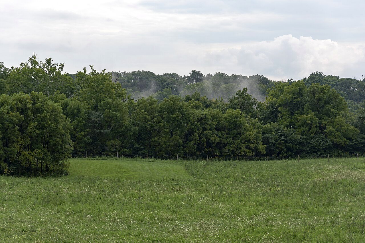
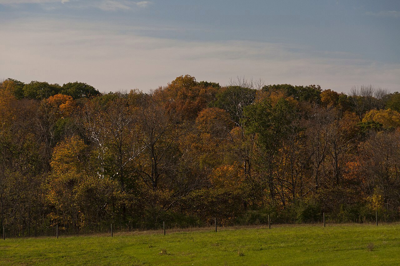
Photo credits: Bison and landscape photographs of Battelle Darby Creek Metro Park by Nheyob and Sixflashphoto via Wikimedia Commons, licensed CC BY-SA 4.0. This post discloses a complimentary year of komoot Premium provided by komoot; all opinions are my own.