Mount Craig: Hiking Guide & Trail Overview
Mount Craig is a must see when traveling through Yancey County, North Carolina. It is located in the Mount Mitchell State Park and the Pisgah National Forest in the Black Mountains which are part of the Appalachian mountain range. It is about 1 mile north of Mount Mitchell.
The elevation of Mount Craig is 6,647 feet which makes it the second-highest mountain east of the Mississippi River after Mount Mitchell.
It was named for Locke Craig, governor of North Carolina from 1913 to 1917. He was instrumental in creating Mount Mitchell State Park.
Locke Craig-the good, the bad and the ugly
He was born August 16, 1860, in Bertie County, North Carolina. He married Annie Burgin in 1891 and had four sons. Mr. Craig died on June 9, 1924, in Asheville, North Carolina, and is buried there. He graduated from the University of North Carolina in 1880. After teaching briefly, he studied law, was admitted to the bar in 1882, and established a legal practice in Asheville.
Craig gained prominence as a skilled public speaker and Democratic organizer in western North Carolina. After earlier unsuccessful bids for U.S. Senate and governor nominations, Craig was nominated in 1912 and elected governor of North Carolina later that year.
The Good
As governor he expanded public education and reforms. He created the State Highway Commission and oversaw major growth in the state’s road system — from about 5,000 to 15,000 miles — bringing national recognition for North Carolina’s roads. Craig established the State Fisheries Commission.
Locke Craig led the foundation of Mount Mitchell State Park in 1915. It was the first state park in North Carolina, helping protect mountain forests. He also played a leadership role in the development of Pisgah National Forest.
The Bad and the Ugly
Like many white Southern politicians of his era, Craig participated in politics that supported white supremacist policies, including efforts that contributed to Black disenfranchisement around the turn of the 20th century.
This context is an important part of evaluating his legacy within the social and racial history of the region.
Hiking Trails
Deep Gap Trail
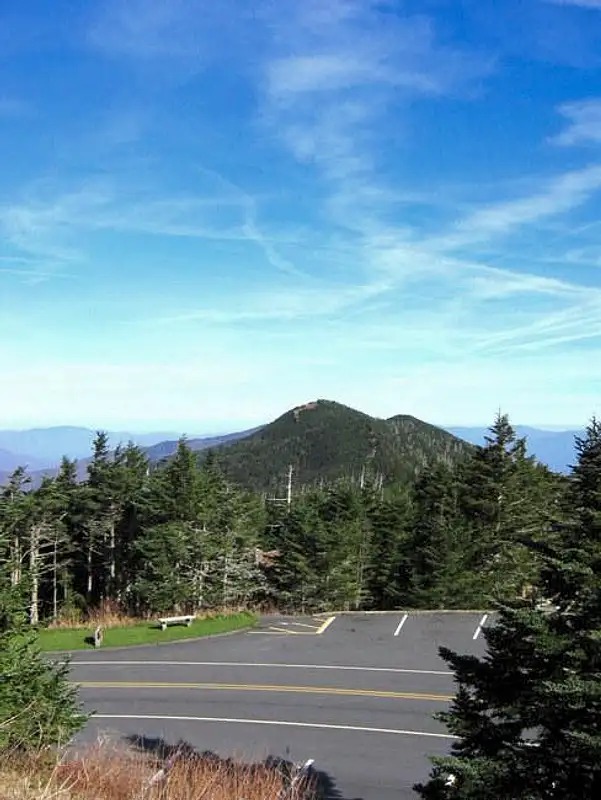
- Main route to the summit: The Deep Gap Trail which is also part of the Black Mountain Crest Trail is the most common access. It is approximately 2.0–2.2 miles round trip from the Mount Mitchell summit parking area. Out-and-back or part of the longer ridge walk on the Black Mountain Crest Trail.
- For experienced hikers, the Black Mountain Crest Trail continues over multiple summits north of the peak, making for a much longer and more strenuous route.
- In addition, you can combine the Deep Gap Trail with other nearby trails for longer hikes and potential camping.
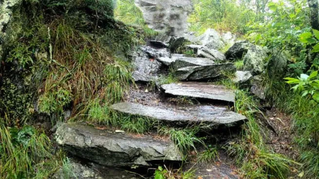
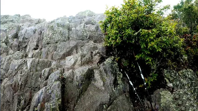
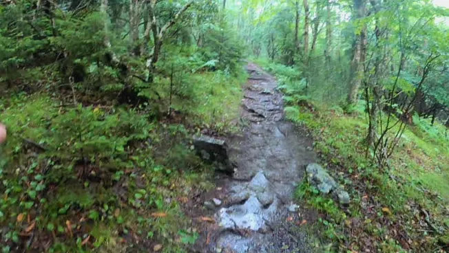
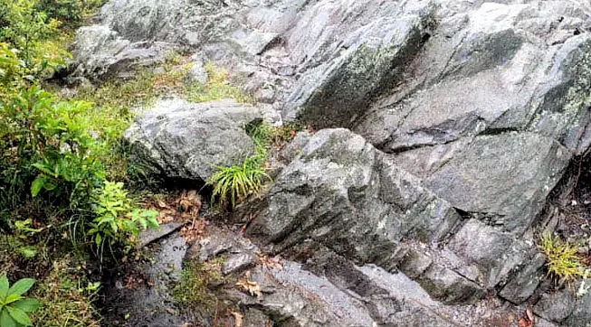
- It is considered to be a moderate difficulty trail. The hike to Mount Craig’s summit from Mount Mitchell is not technically difficult but involves elevation changes and typical mountain trail roots and rocks.
- The Deep Gap/Black Mountain Crest Trail continues north to other high peaks (e.g., Big Tom, Balsam Cone, Winter Star Mountain) for longer, more challenging backpacking routes.
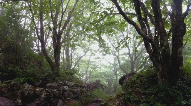
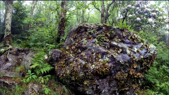
- Late spring through early fall are the best times to go. Winter can bring snow and ice, making conditions much more difficult. High-elevation plant communities including rare species and typical mountain wildlife can be seen along the trail.
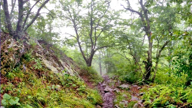
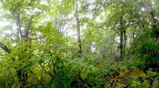
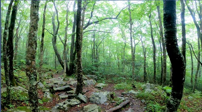
- Well-marked and maintained, beginning just north of the Mount Mitchell picnic area. The trail traverses lush, high-elevation spruce and fir forest, with intermittent clearings and panoramic views near the summit.
- Elevation Gain of about 300 feet from the gap between Mount Mitchell and Mount Craig.
- The summit offers sweeping views of the surrounding Black Mountains and a triangulation marker/plaque marking the high point.
Personal Experience
We went to Mount Mitchell State Park in 2022. The trail was awesome. It was very windy and we were walking through clouds. Though we were there in the middle of summer, it was not hot at all on the trail.
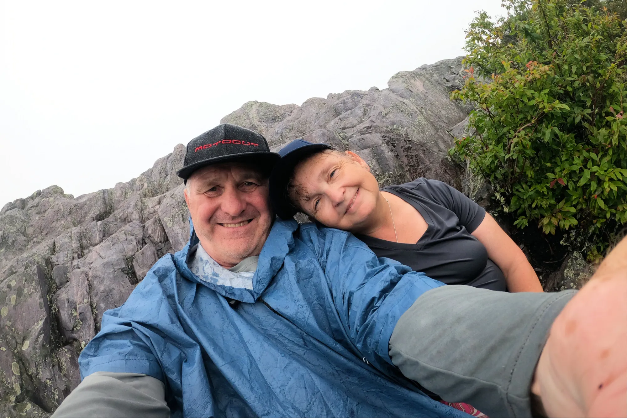
The trail was a little difficult for me because I carry about 80 pounds extra on my body. But it was well worth the effort!
Conclusion
If you happen to visit Yancey County in North Carolina, be sure to stop by for a quick hike. You won't regret it.