Moderate
Oh Deer
Trail Map
Interactive map showing the trail route for Oh Deer. The map displays topographic information and trail markers.
Elevation Profile
Elevation data not available for this trail.
Chart showing elevation changes along the trail distance. Hover or focus on the chart to see specific elevation values at each point.


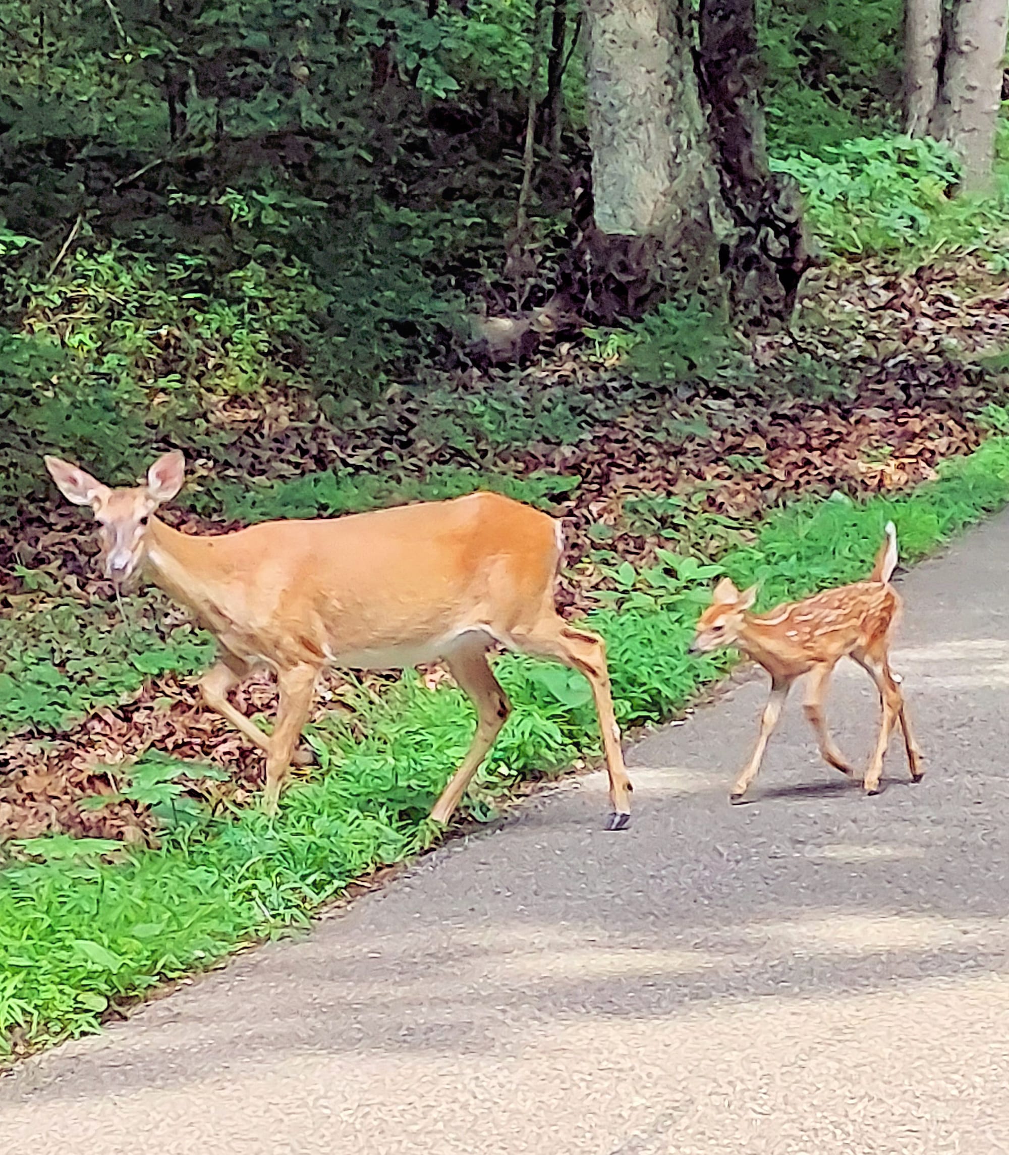
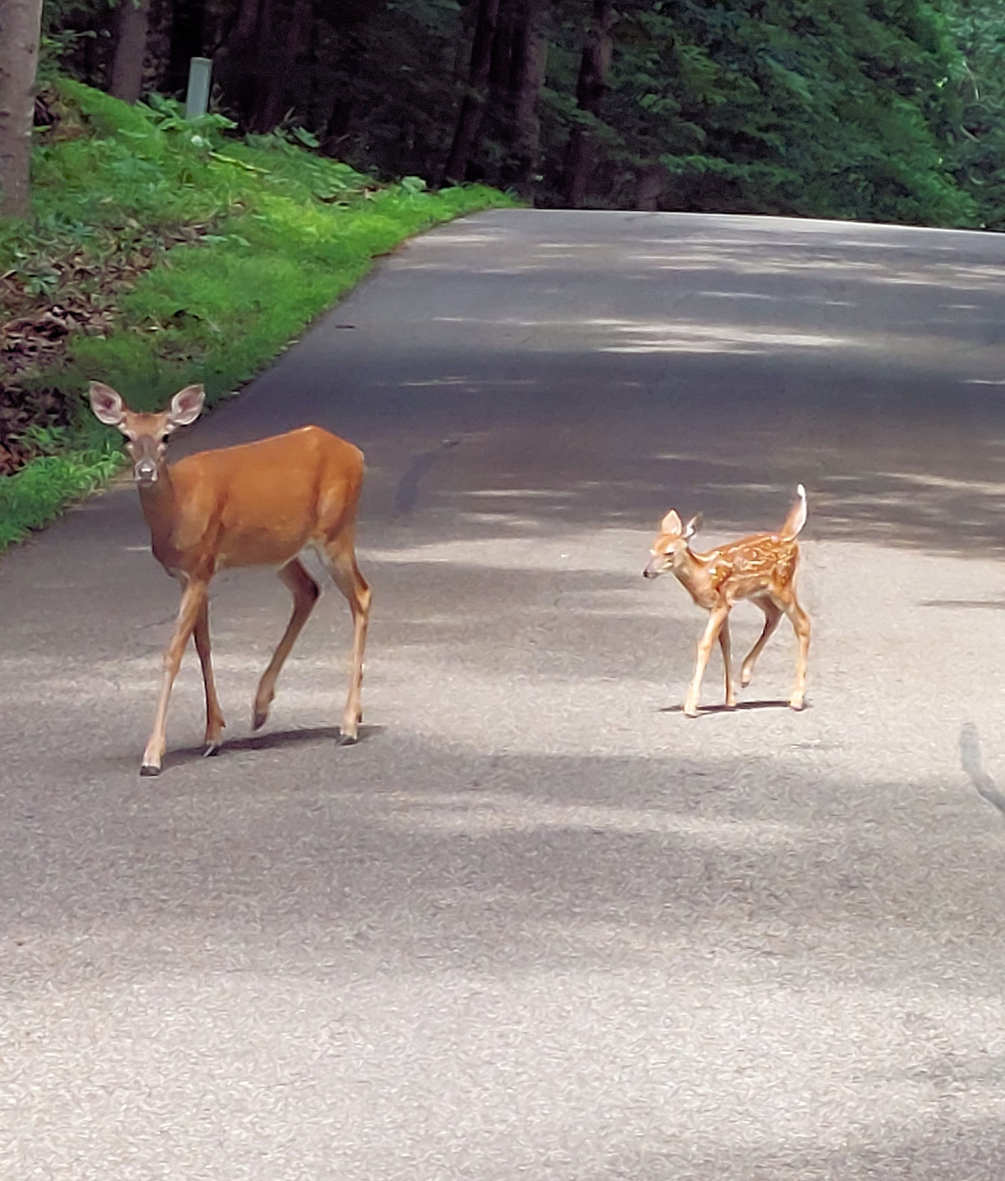
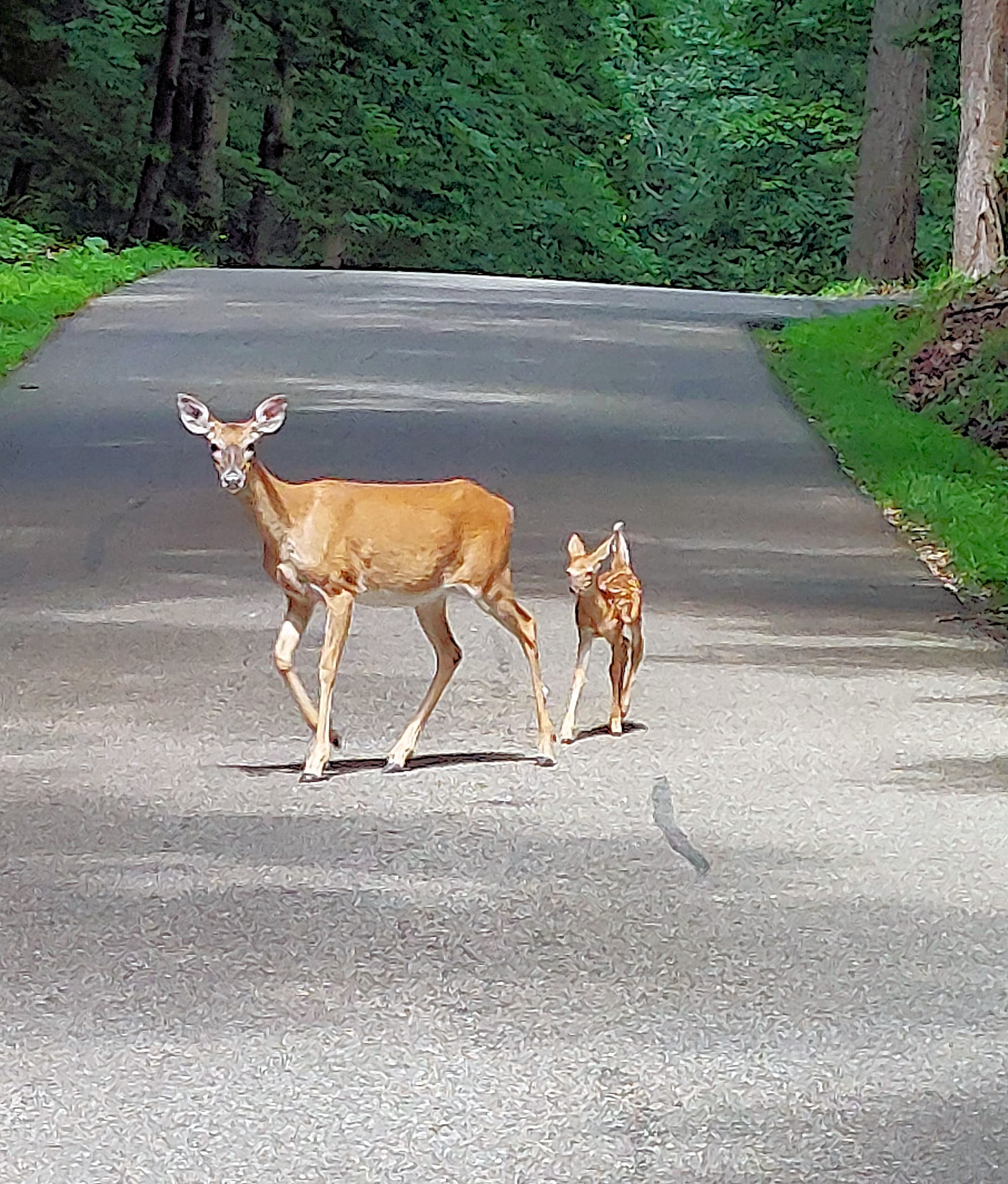
Above a deer and her fawn taking a walk.
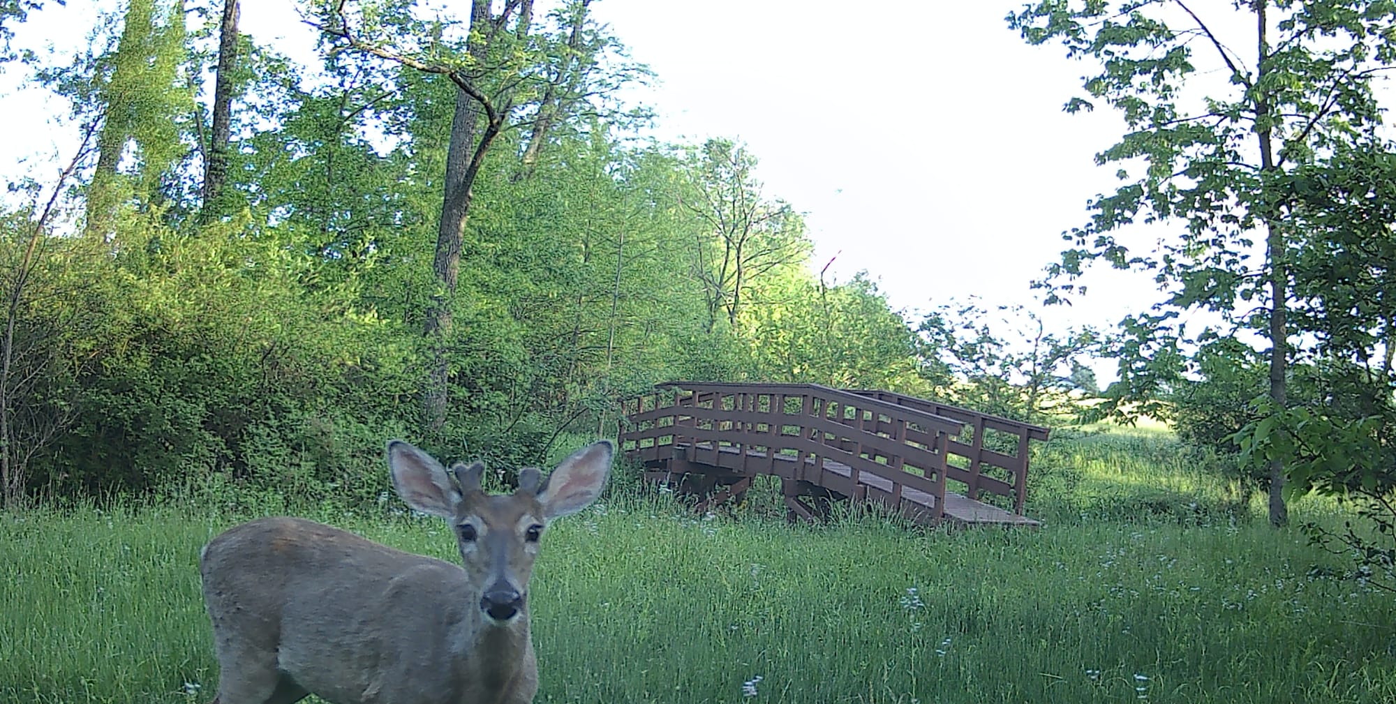
Below night-time deer eating by the bridge we built.
0:00
/1:06
Enjoy! What is better than watching deer eat at night!