Stop #7C Grand Canyon,AZ
Grand Canyon — Story and History
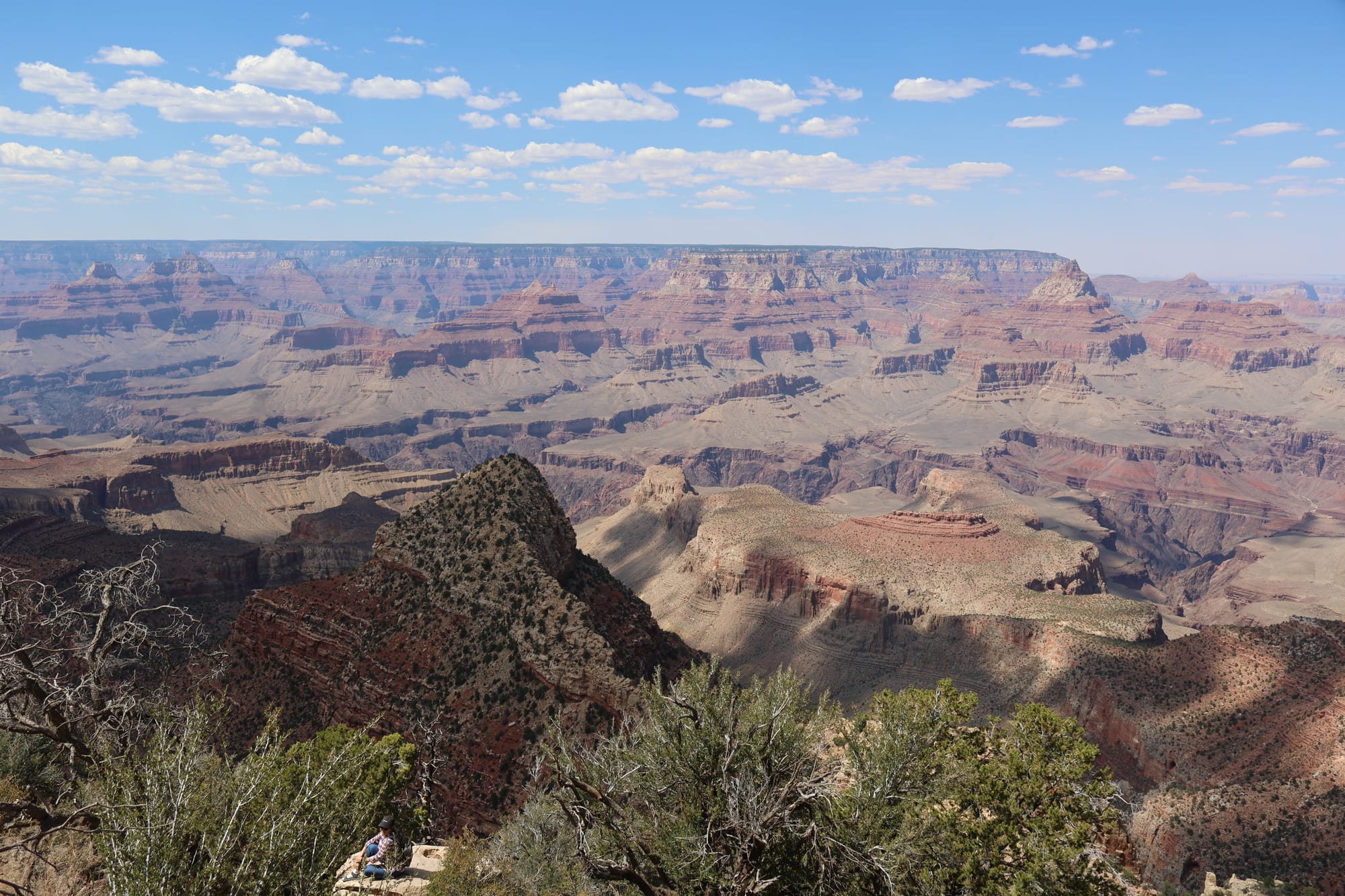
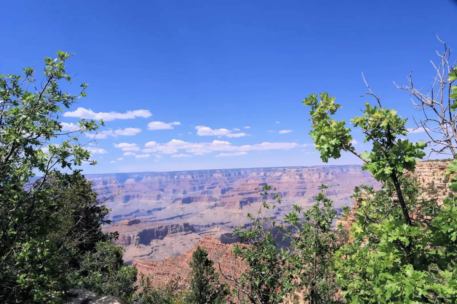
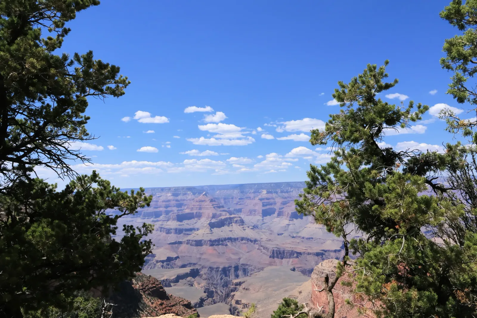
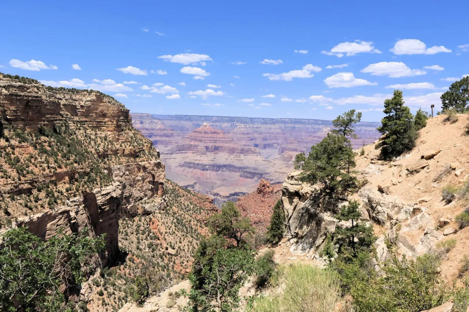
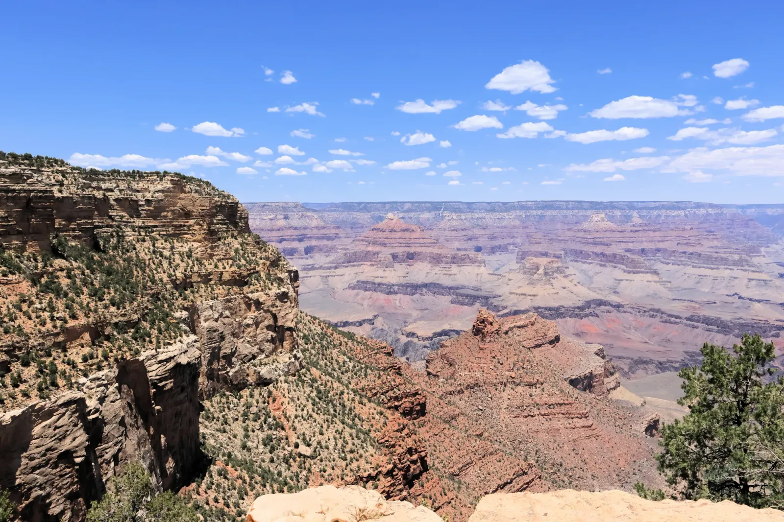
Grand Canyon National Park is among the most iconic natural wonders in the world. Situated in northern Arizona, this massive canyon was shaped by the Colorado River over millions of years.
Geological Story
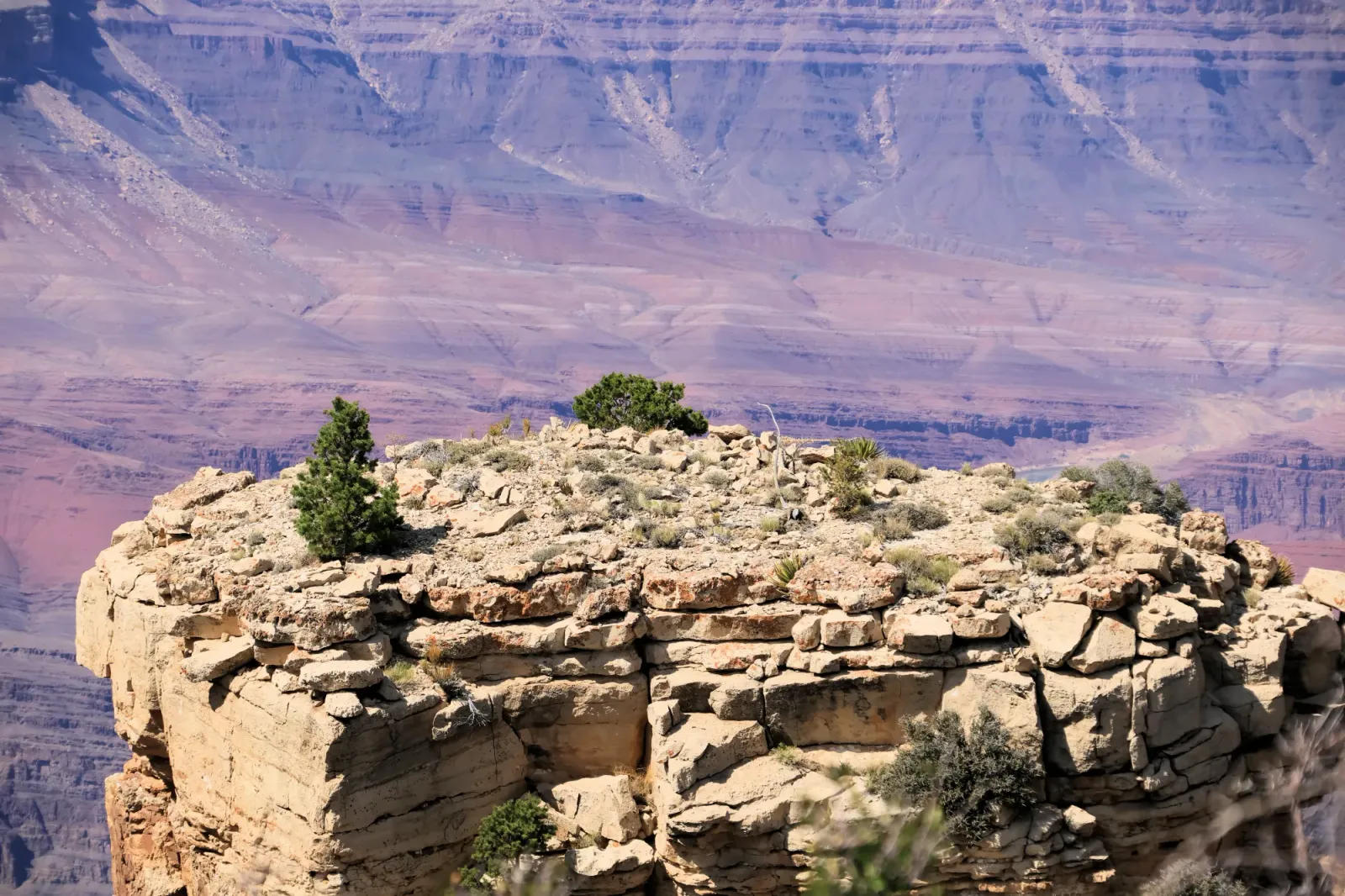
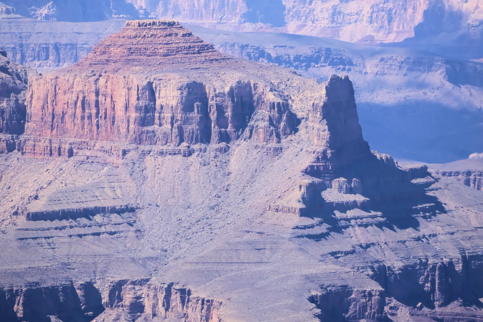
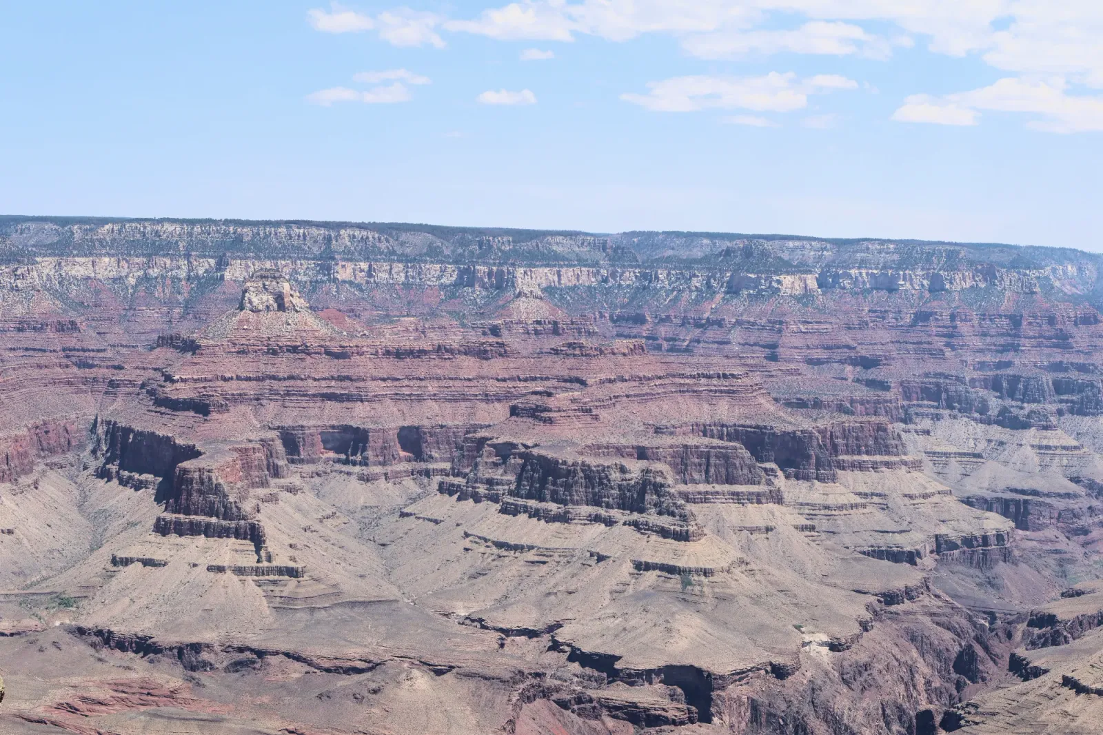
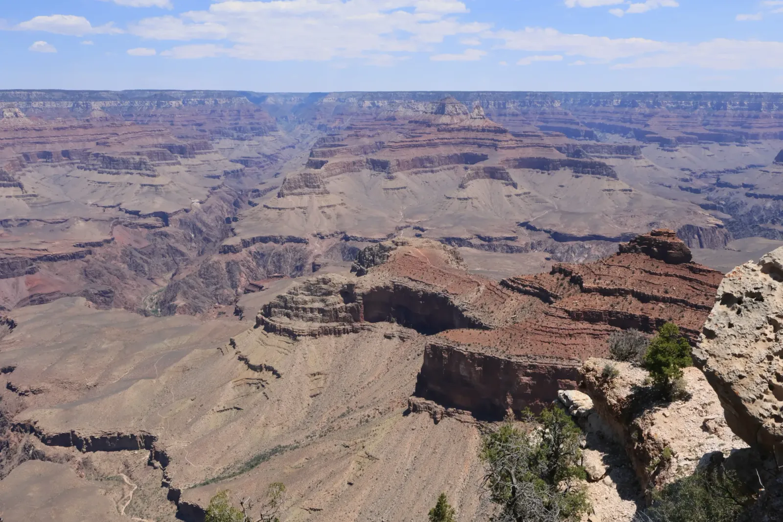
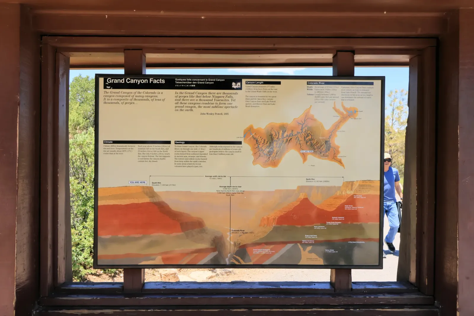
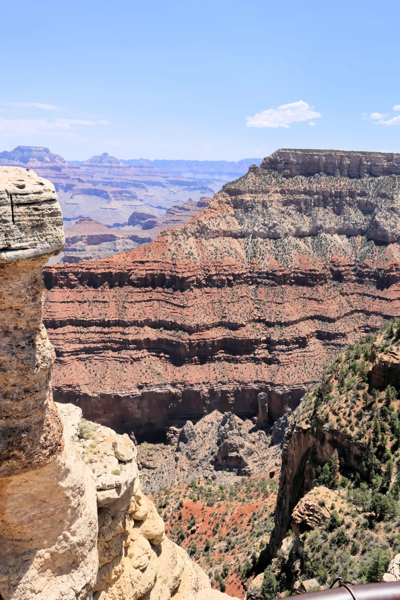
The Grand Canyon is a record of Earth’s history. The oldest rocks exposed in the canyon are nearly 2 billion years old. Layers of sandstone, limestone, and shale preserve ancient environments, including oceans, deserts, and forests. The canyon itself was mainly shaped by erosion from the Colorado River and uplift of the Colorado Plateau over the last several million years.
Human History
The Grand Canyon region has been home to people for thousands of years. Indigenous groups like the Havasupai, Hopi, and Navajo have strong cultural ties to the land. Spanish explorers arrived in the 1500s, followed by American explorers and scientists in the 1800s. In 1919, the area was officially designated as Grand Canyon National Park.
Famous Explorers
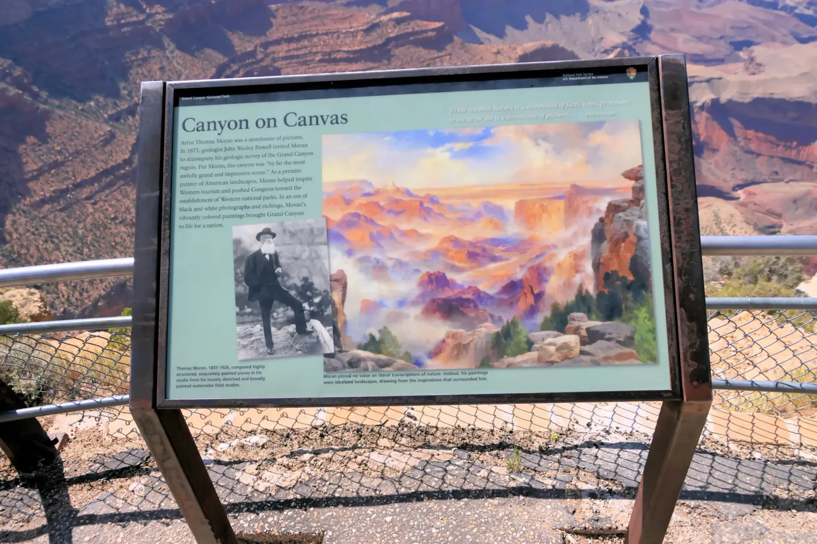
In 1869, John Wesley Powell led the first successful scientific expedition down the Colorado River through the Grand Canyon, drawing national attention to the canyon’s unique geology and geography.
Today, the Grand Canyon attracts millions of visitors each year for hiking, rafting, geology, wildlife viewing, and cultural experiences.
Squirrels!
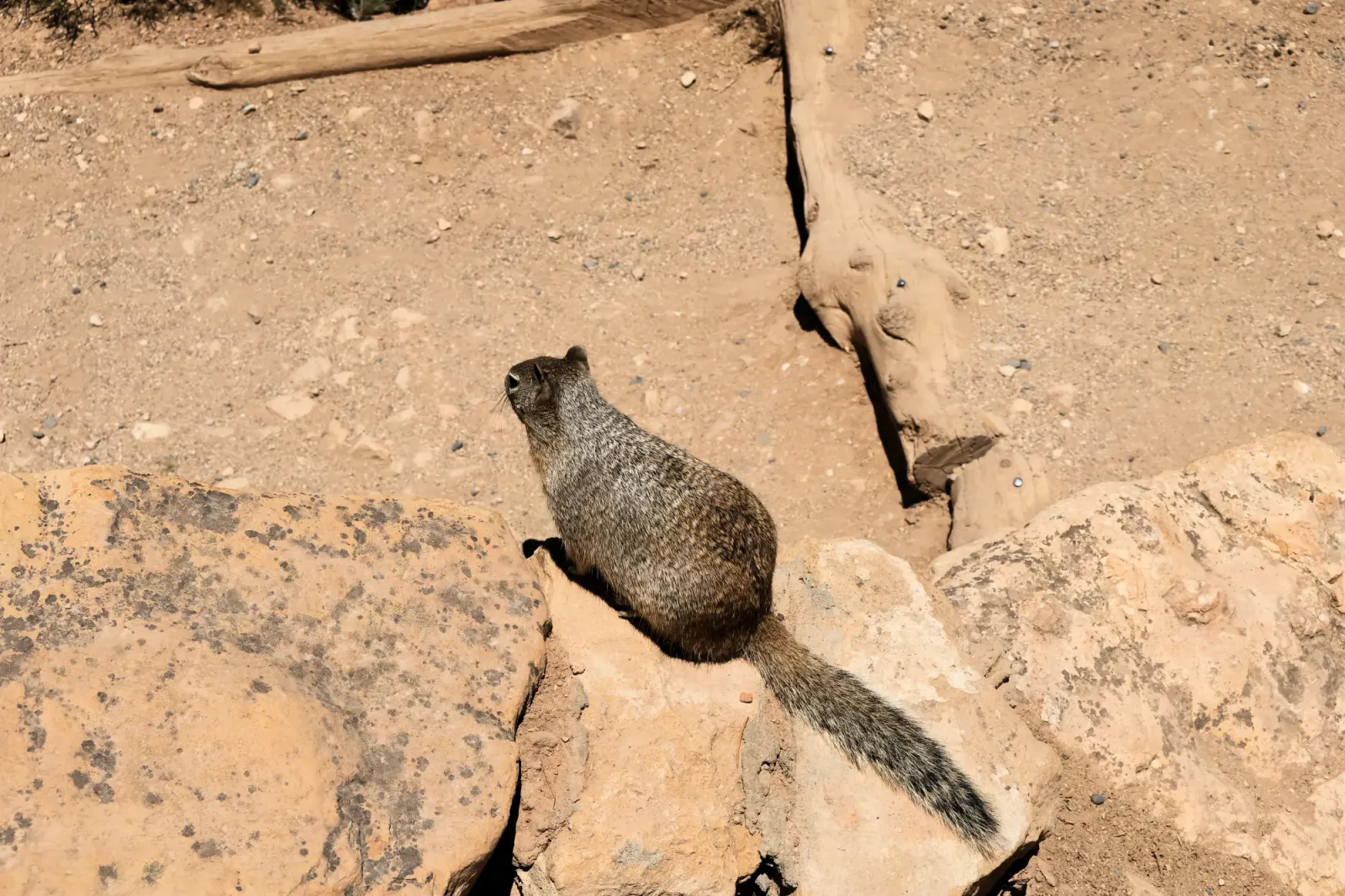
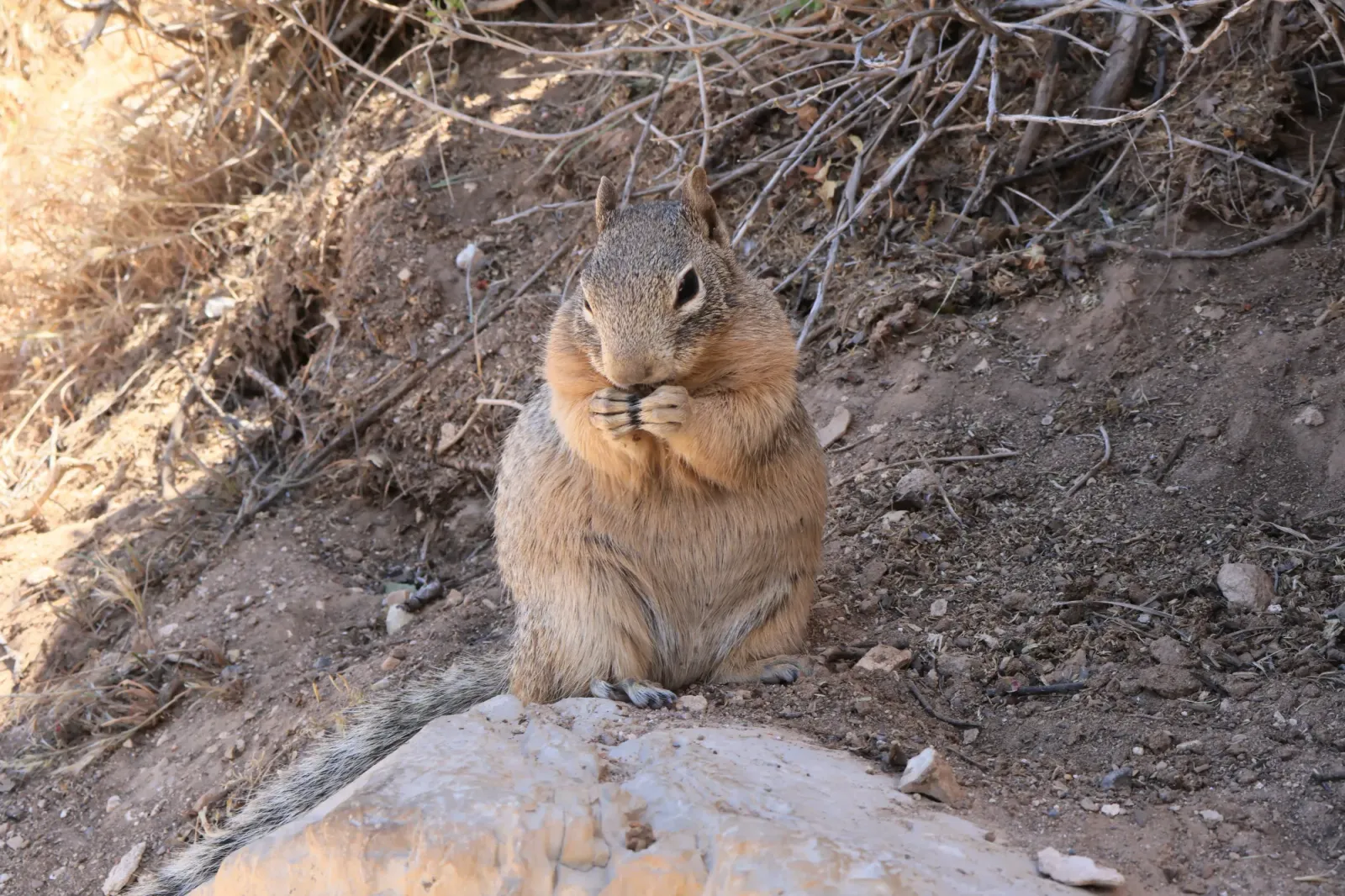
Around Grand Canyon Village and the South Rim, you’ll often spot rock squirrels or Abert’s (tassel-eared) squirrels, with the latter especially common in the ponderosa pine forests.
Rock squirrels are known for being bold, thanks to years of visitors feeding them, and the NPS reports they’re the leading cause of animal bites at the park. If one comes right up to you, it’s likely after food, not friendship.
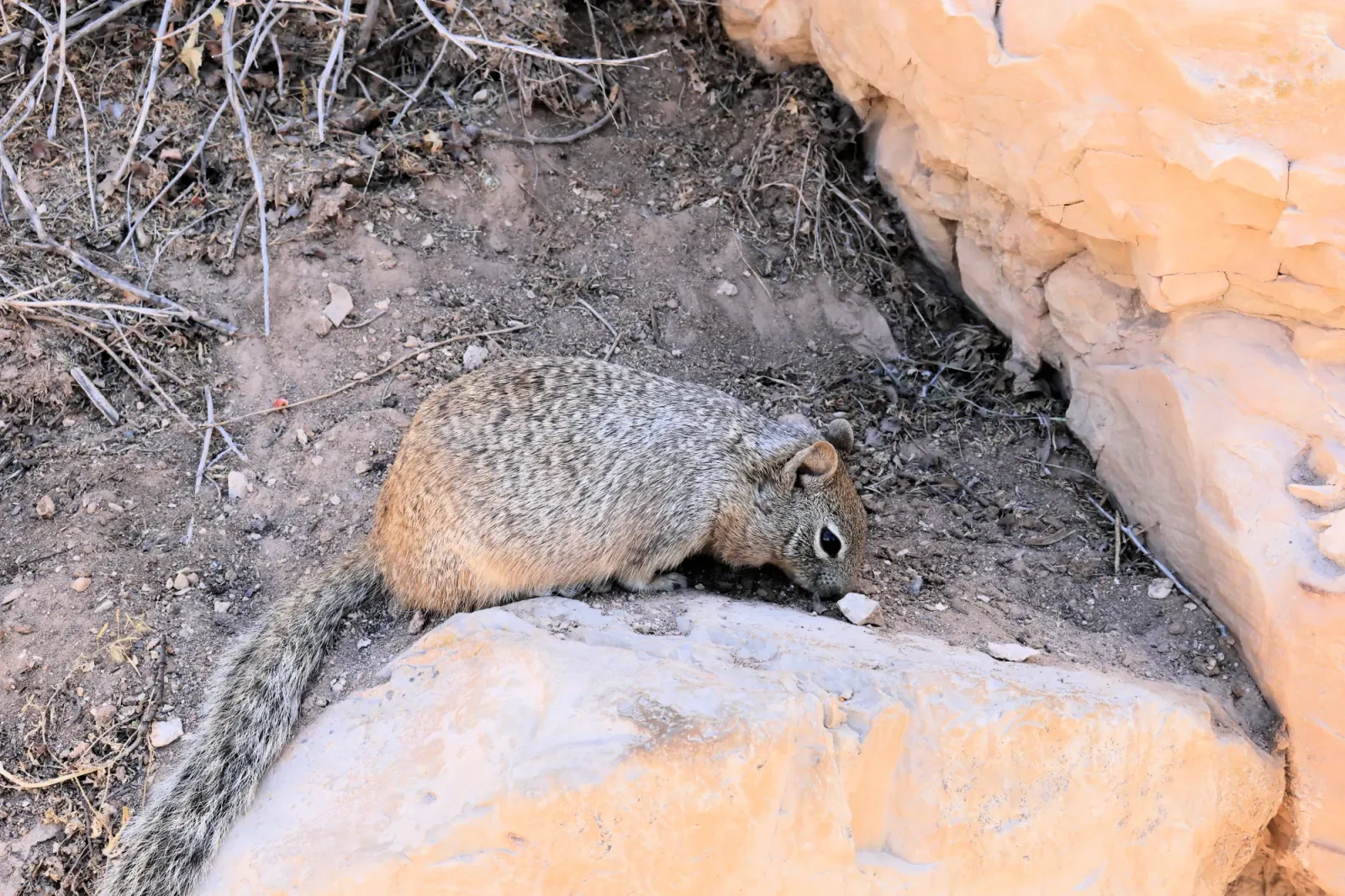
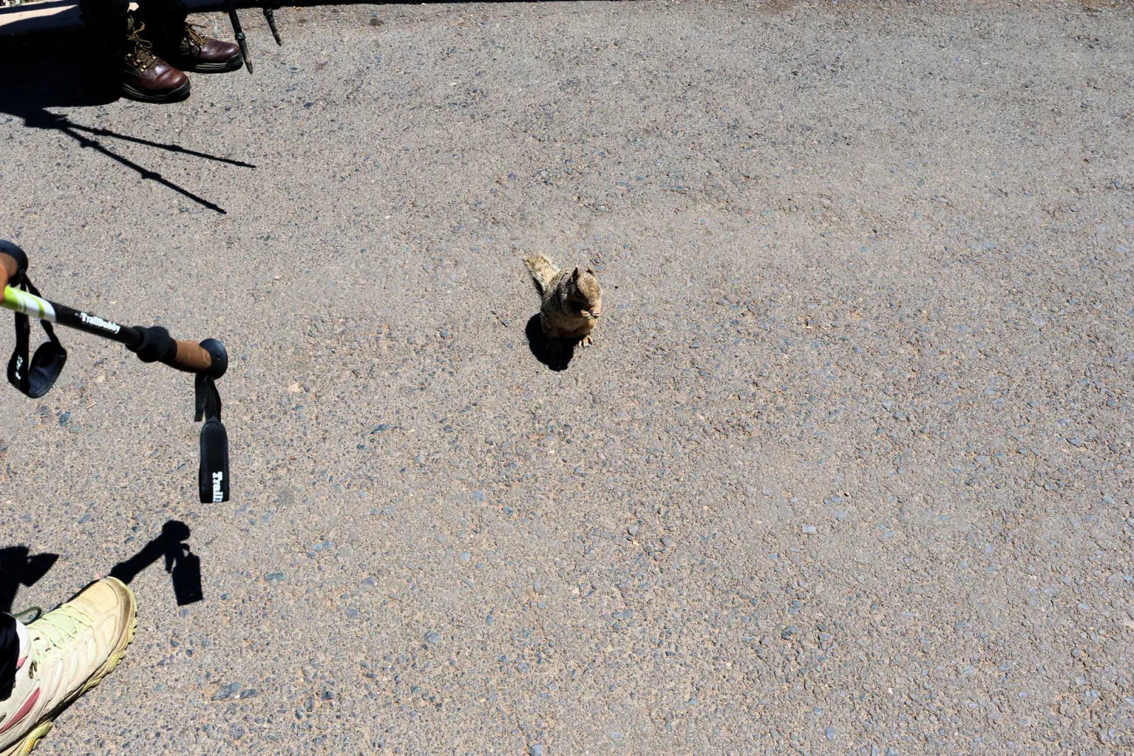
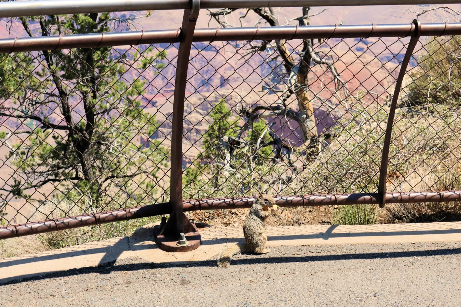
WARNING!!
Don’t feed, touch, or let them climb on you or your belongings. Keep snacks secured and back away if they approach. The NPS prohibits feeding wildlife and advises staying at least 50 feet away. Feeding can make squirrels lose their natural fear of humans, become aggressive, and cause problems for both people and animals.
Fun fact: Abert’s squirrels live on the South Rim, while Kaibab squirrels inhabit the North Rim, their populations separated by the canyon, isolated long enough for them to develop distinctive characteristics.
CCC work at the Grand Canyon
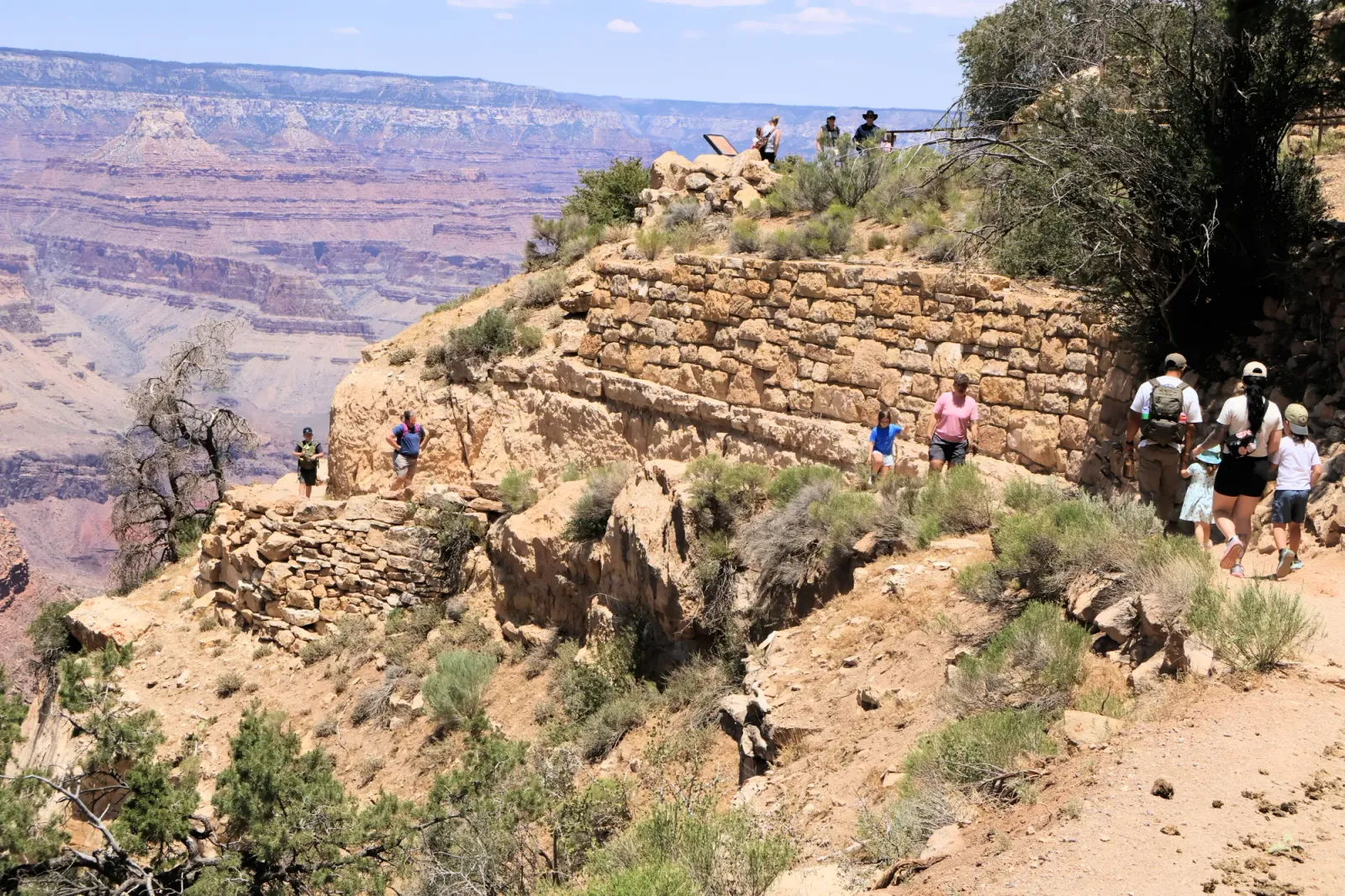
The Civilian Conservation Corps (CCC) was a federal work program launched in 1933 during the Great Depression. From 1933 to 1942, CCC crews at Grand Canyon National Park built and upgraded numerous trails, roads, walls, trails, culverts, landscaping, campgrounds, buildings, and utilities that visitors still see and use today.
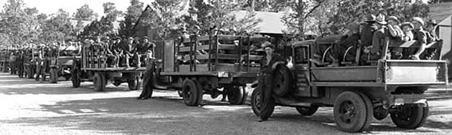
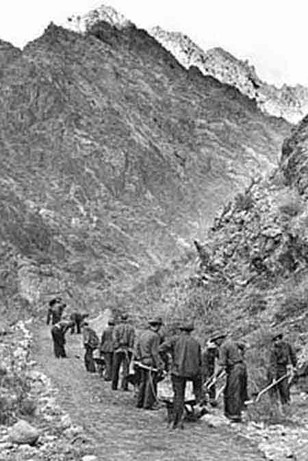
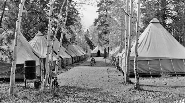
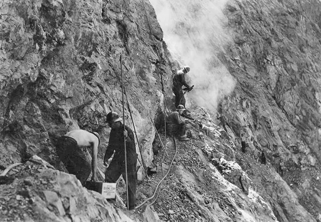
Some of their most important work included:
- Bright Angel Trail — CCC workers improved and reconstructed portions of the trail and its infrastructure.
- Kaibab trails — CCC crews worked on trails in the Kaibab area, including the North Rim.
- Stone wall along the South Rim — Company 819 built the wall between El Tovar Hotel and Bright Angel Lodge.
- Telephone system — CCC workers built a trans-canyon telephone line connecting the North and South Rims in 1935. Workers sometimes had to hang from ropes along cliffs to install the poles.
- Community Building — CCC Company 819 helped construct the building in Grand Canyon Village in 1934–1935.
- Clear Creek Trail — Company 818 built this trail east of Phantom Ranch.
- Colorado River Trail — Company 818 constructed the trail connecting the Bright Angel and South Kaibab trails. It was cut into the canyon cliffs and was one of the most difficult trail projects at Grand Canyon.
- The stone wall along the rim between El Tovar and Bright Angel Lodge
- There's a particularly interesting 1.5-mile CCC Walking Tour through the Historic District. It takes you past buildings and structures where CCC workers contributed their labor.
Desert View Watchtower
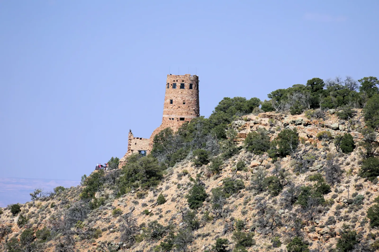
The tower was completed in 1932 at Desert View, on the eastern end of the South Rim, about 17 miles east of Grand Canyon Village. It was designed by Mary Elizabeth Jane Colter, who worked for the Fred Harvey Company and designed several famous Grand Canyon buildings. t was originally designed as a tourist rest stop and observation point. Visitors traveling from Grand Canyon Village could stop at Desert View, get refreshments and souvenirs, rest, and climb the tower to see the canyon.
The location was particularly valuable because you can see the Colorado River bend, the North Rim, and more than 100 miles of landscape on a clear day.
Colter intentionally designed the building to appear ancient and blend seamlessly with the landscape, avoiding the look of a modern hotel or observation tower. She drew inspiration from ancestral Puebloan architecture of the Southwest, especially towers found at Hovenweep and Mesa Verde. Still, the NPS notes that the Watchtower wasn’t meant to be an exact replica of any single ancient structure; Colter saw it as a creative recreation influenced by multiple sources.
The tower stands about 70 feet high, with a concealed steel framework hidden within its stone walls. Colter was meticulous about the masonry’s appearance, insisting the stones keep their natural, weathered look so the structure would blend seamlessly into the canyon.
Native American artwork inside
Hopi artist Fred Kabotie painted artwork inside the tower, including images relating to Hopi traditions. Other artwork was based on prehistoric Puebloan pictographs.
Complications:
There is an important historical complication here: the building was created by non-Native designers for the tourism industry, using Native architectural and artistic traditions as inspiration. The NPS now discusses this history more critically than the original tourism publicity did, including the complicated relationship between Grand Canyon tourism and Native peoples.
The tower and the railroad
The Atchison, Topeka & Santa Fe Railway constructed the Watchtower for the Fred Harvey Company. This is part of a much larger story. The railroad made travel to the Grand Canyon much easier, and companies such as Fred Harvey developed hotels, restaurants, shops and tourist attractions around the South Rim.
The Watchtower was designated part of the Mary Jane Colter Buildings National Historic Landmark District in 1987.
Popular Trails
- Bright Angel Trail — The trailhead is in Grand Canyon Village near Bright Angel Lodge. However, inner-canyon conditions and closures need to be checked before descending, particularly because of ongoing recovery and construction.
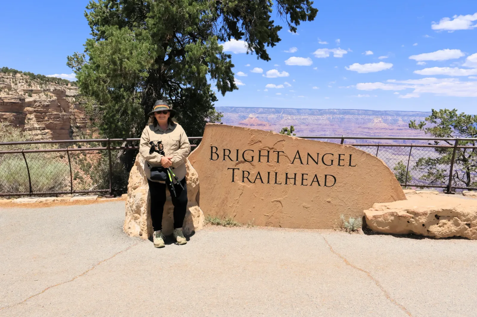
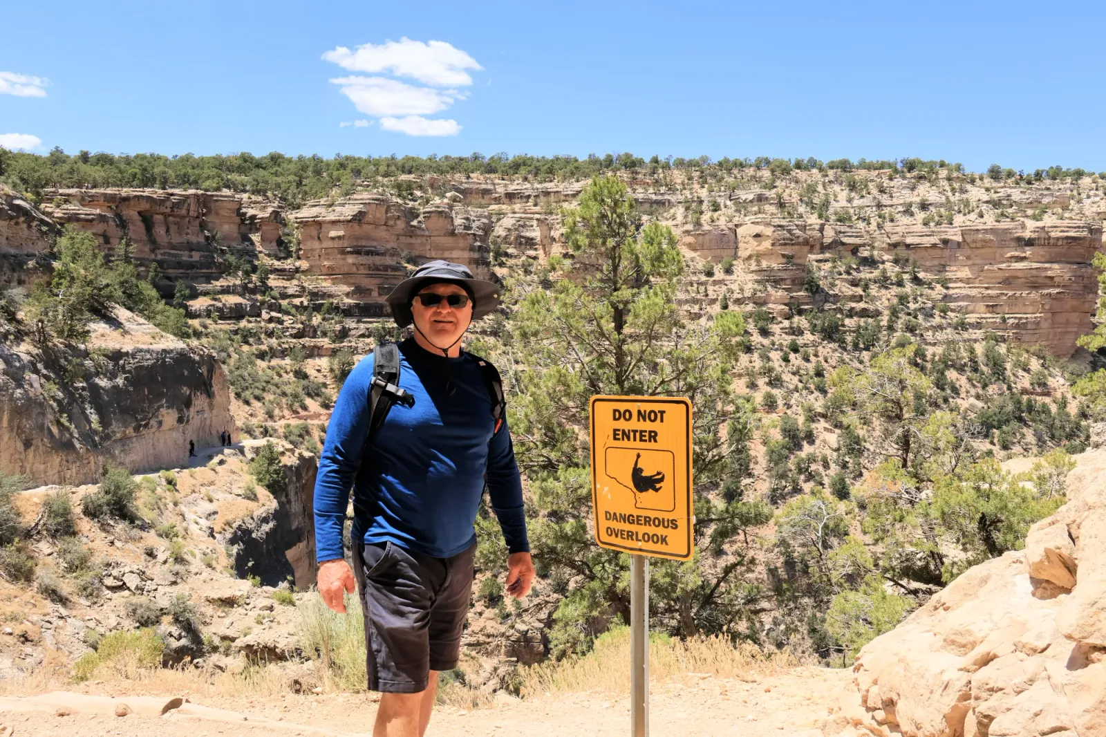
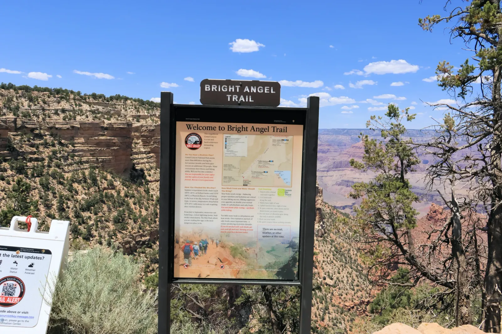
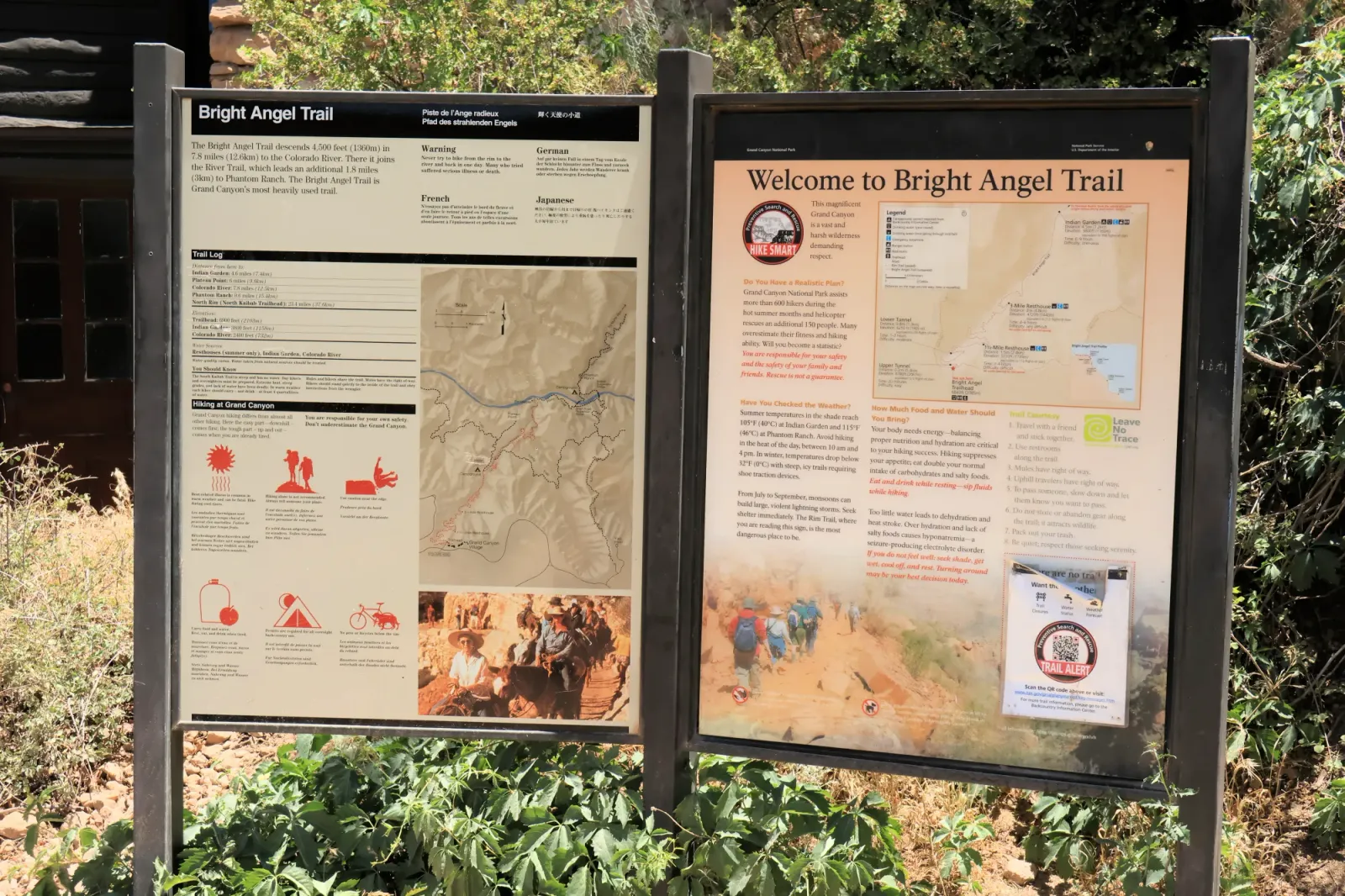
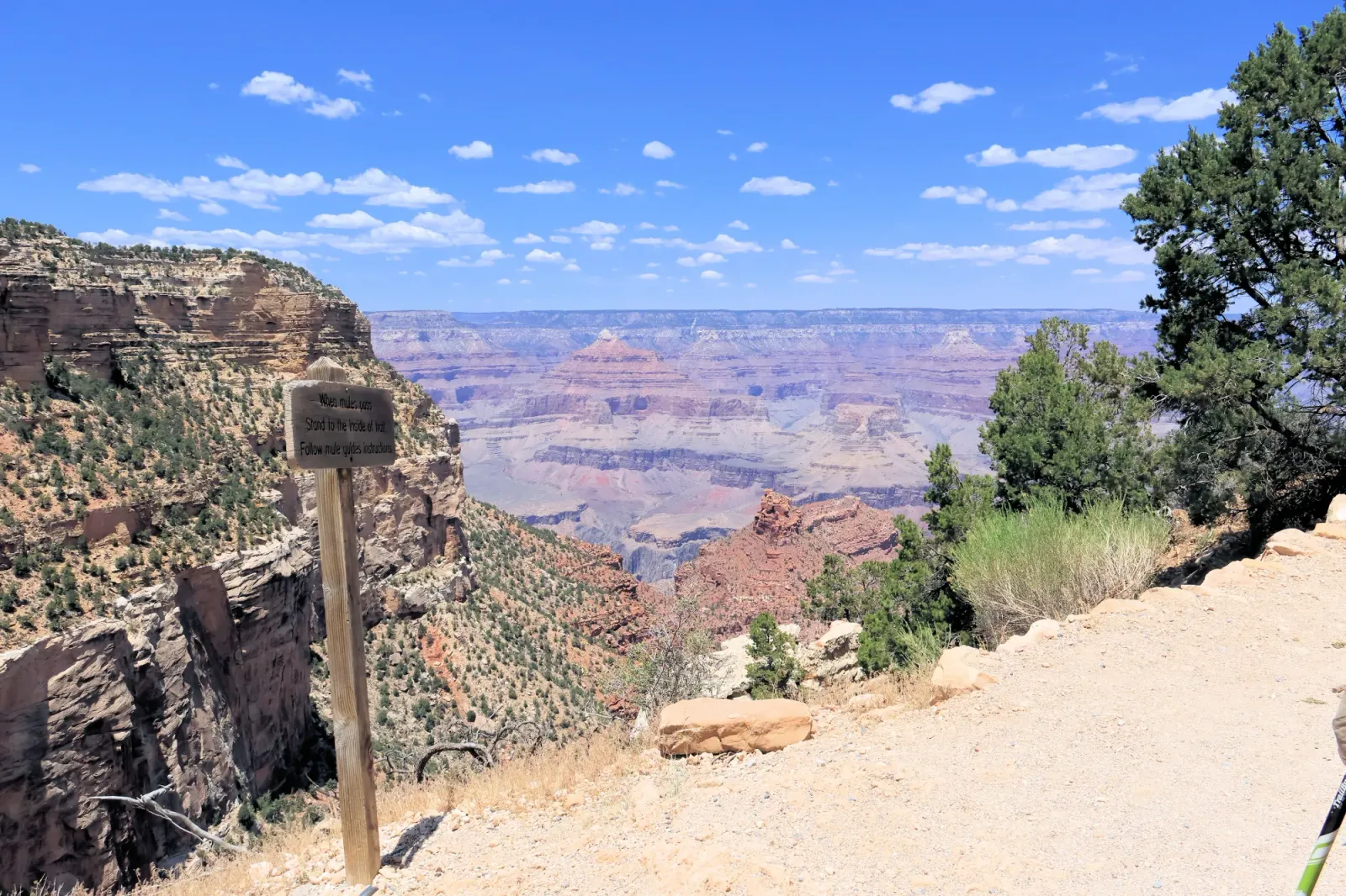
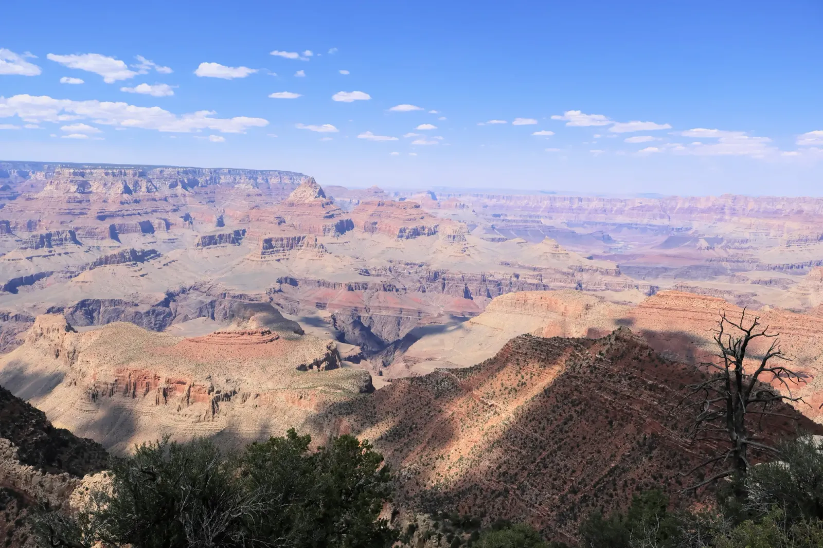
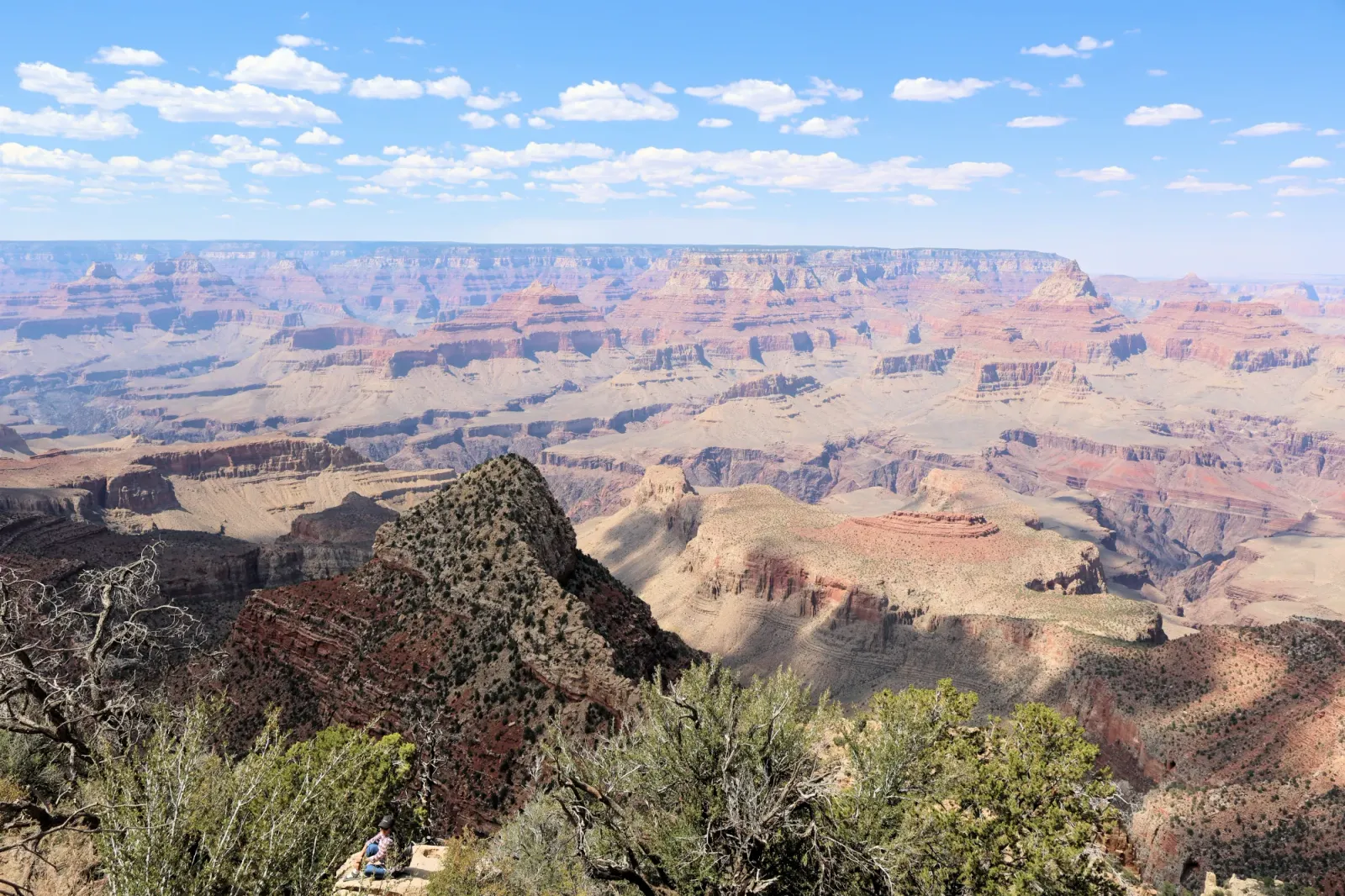
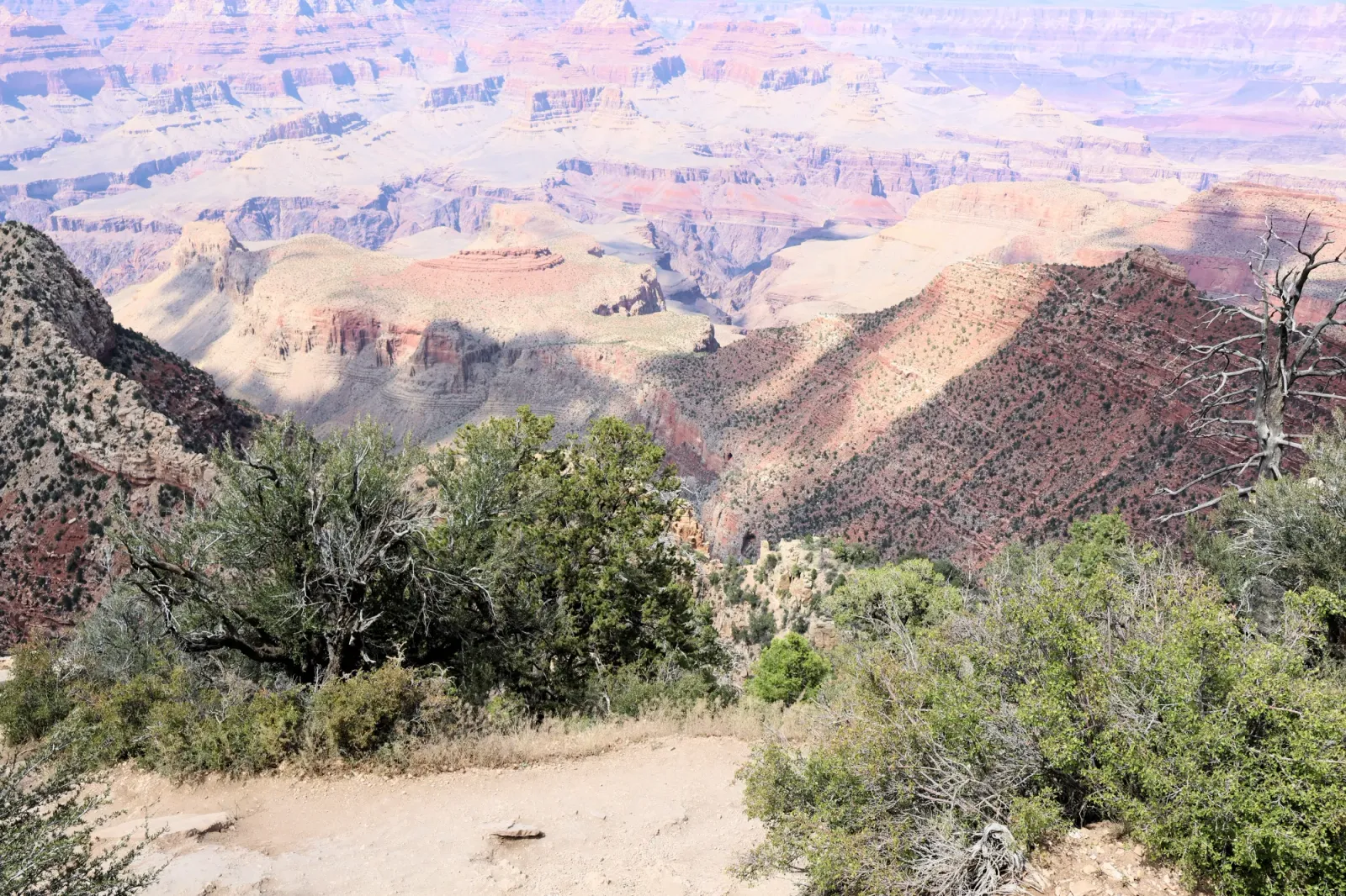
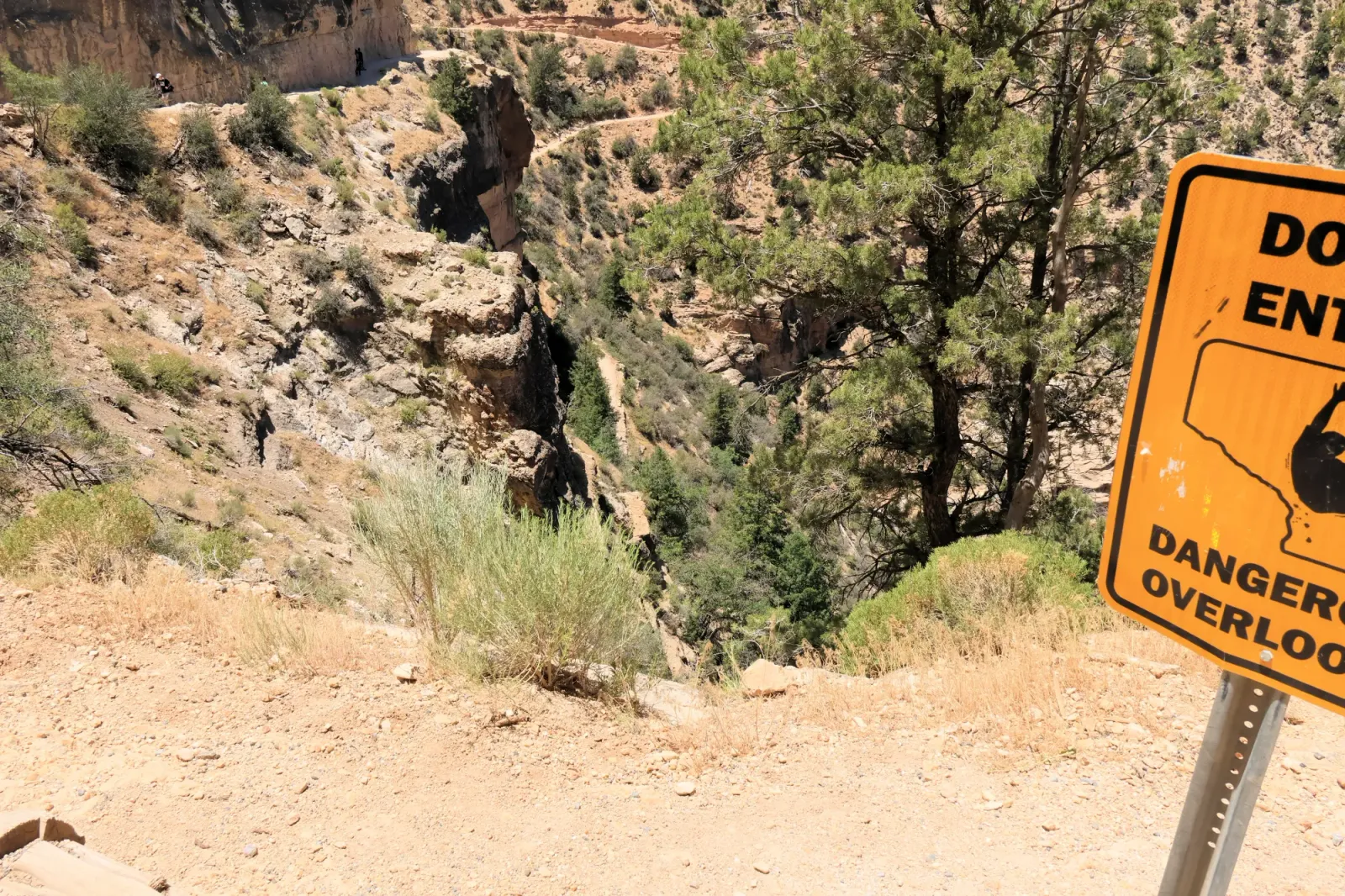
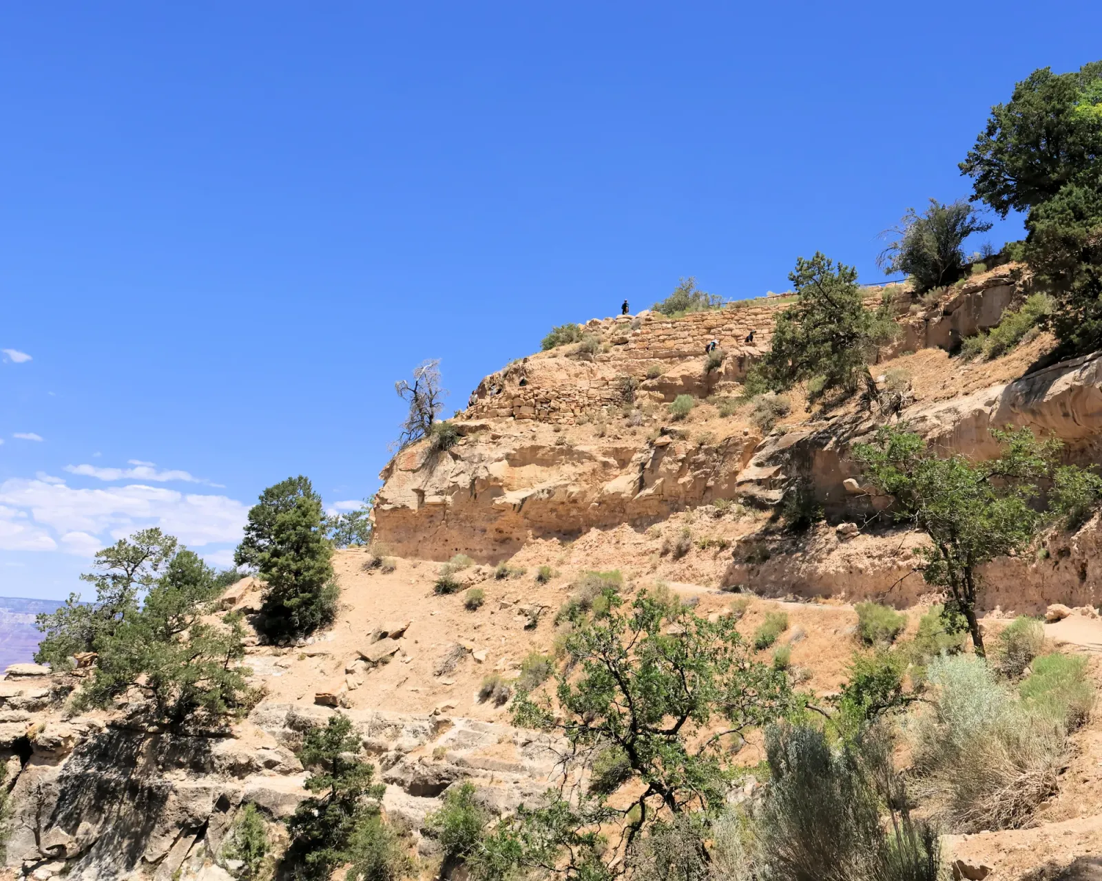
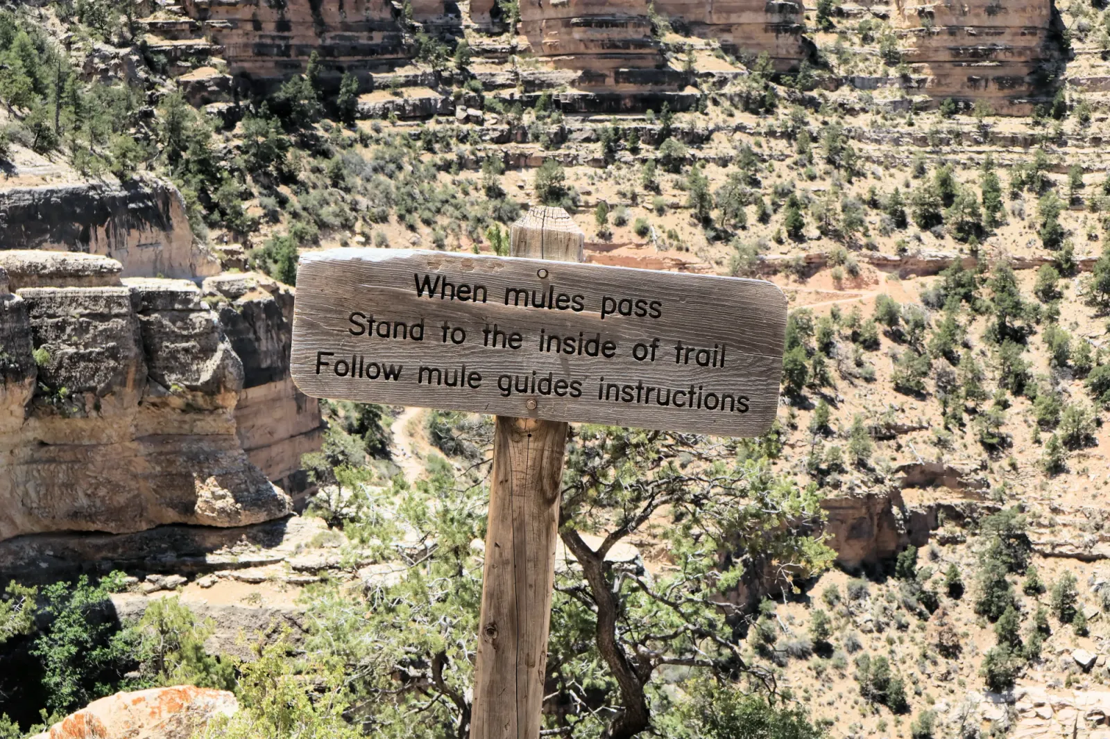
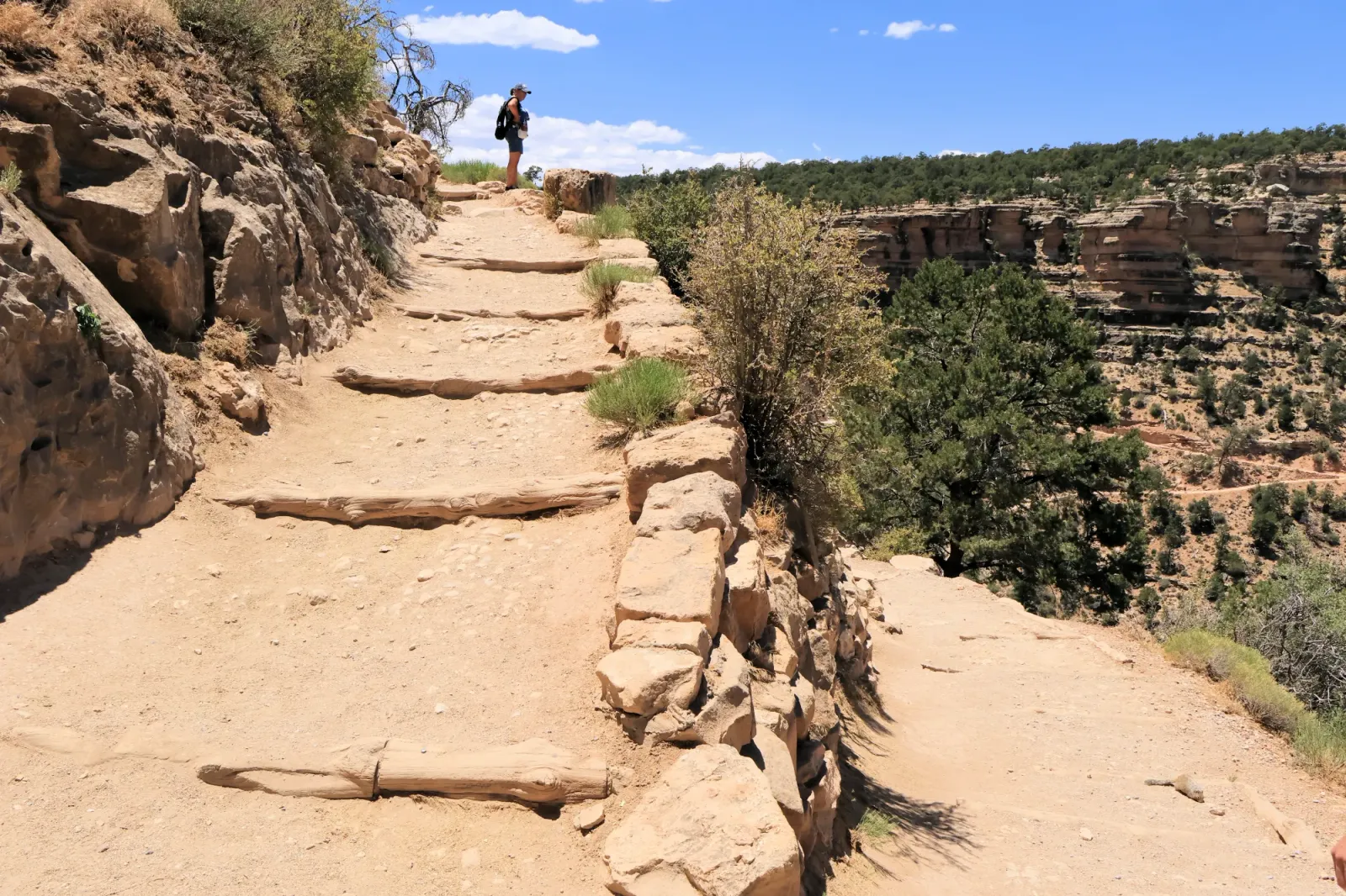
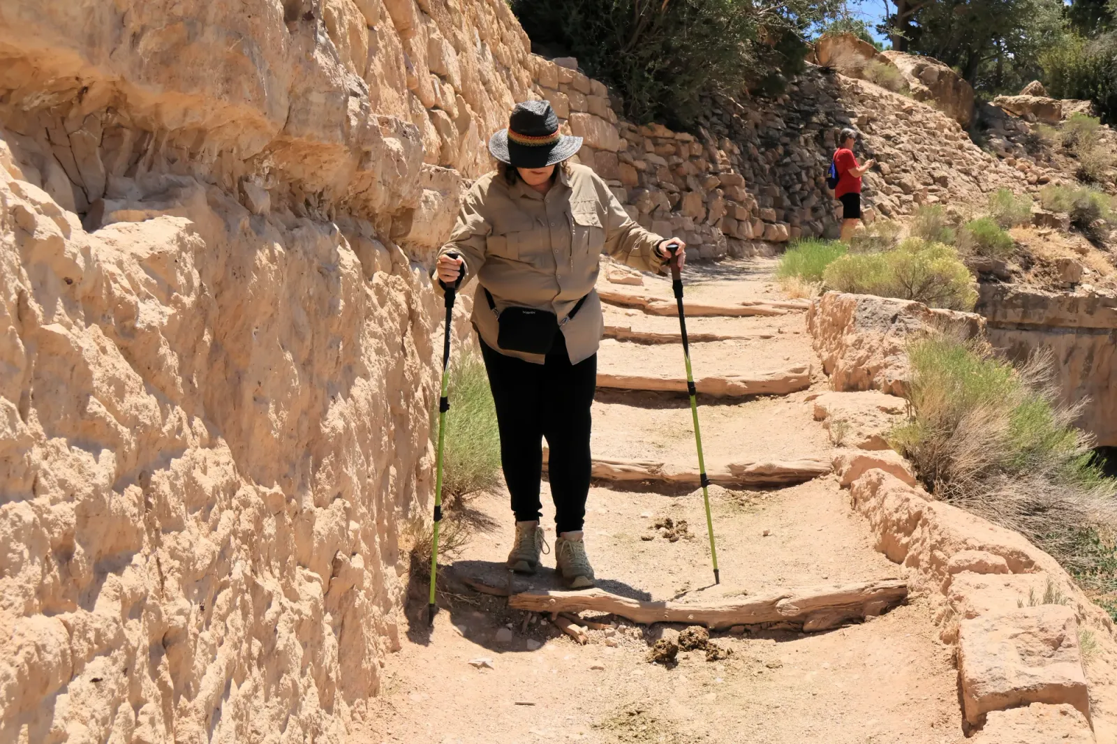
South Kaibab Trail — The trailhead is reached by the Orange/Kaibab shuttle. It is a steep canyon descent rather than a casual Village walk.
- Hermit Road trails/viewpoints — These are west of the Village and are accessed by the Red/Hermit Road shuttle during its operating season
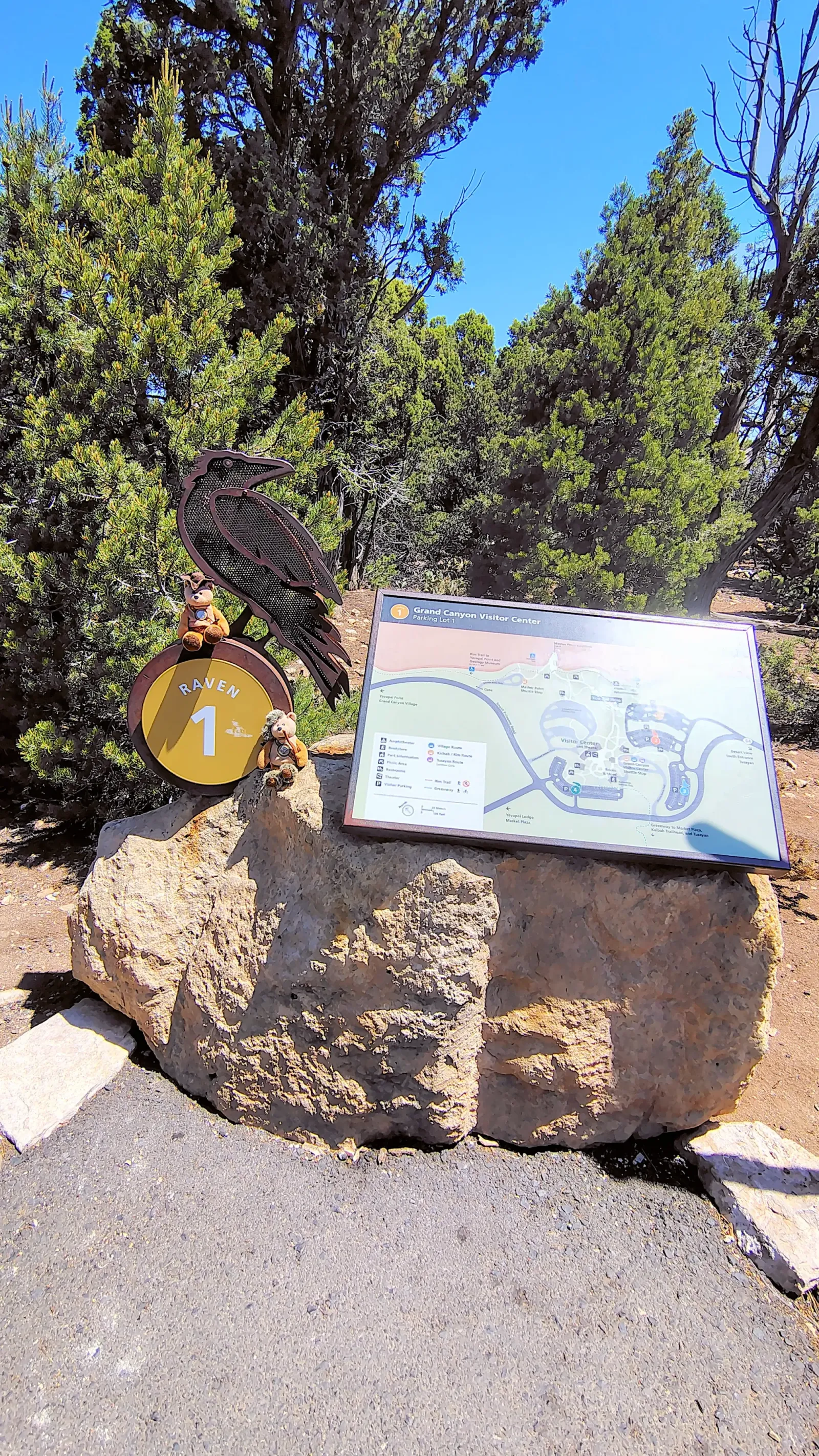
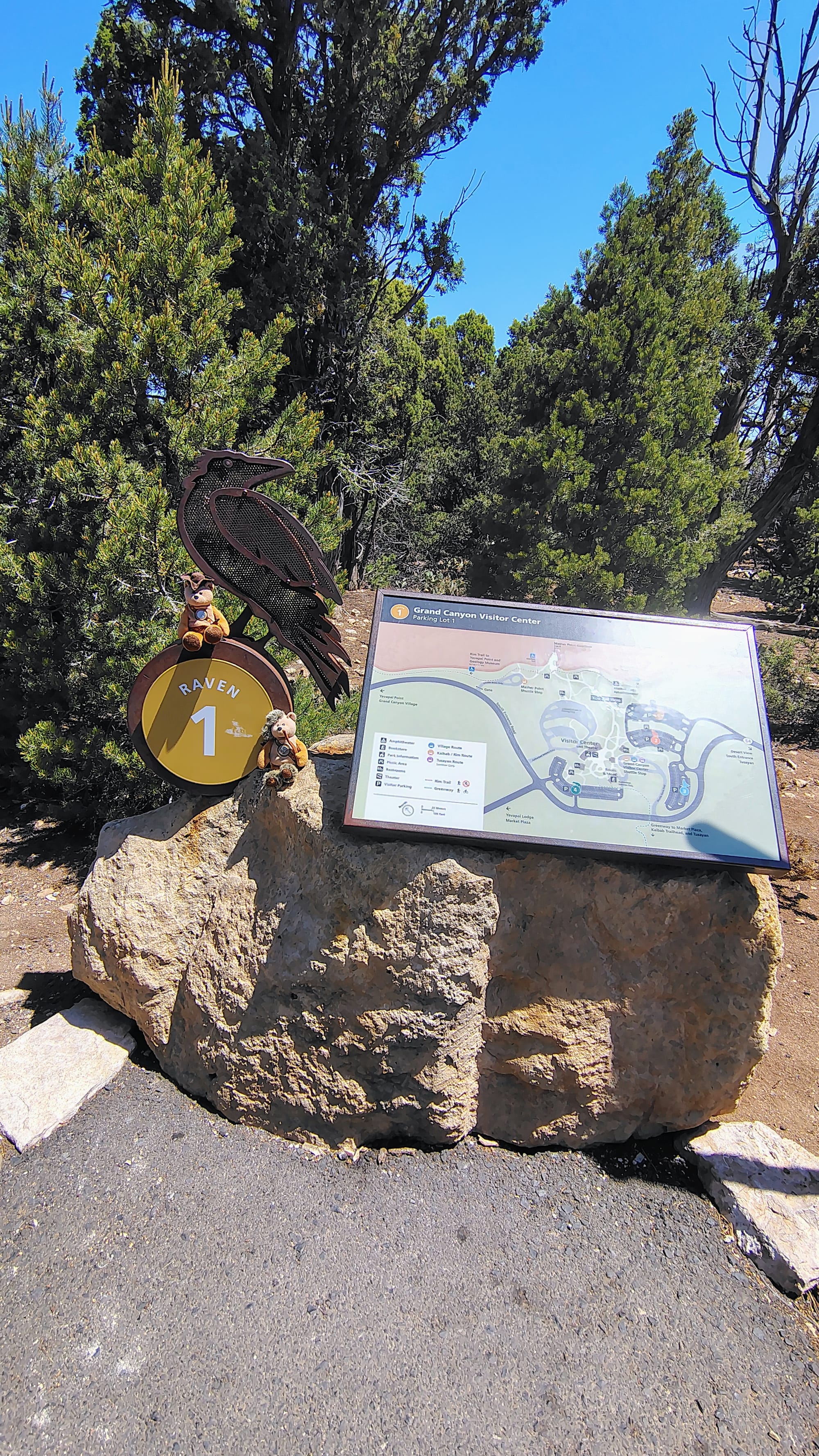
- Greenway Trail — Open in the South Rim developed area. It provides paved walking/biking connections around the Village and Visitor Center area.
- Canyon Rim Trail — Open. This is the easiest way to walk along the rim and connect viewpoints around the Village. It is relatively flat compared with the canyon trails.
Just because a trail is open doesn’t mean it’s an easy hike. The South Rim sits at about 7,000 feet, and heading down into the canyon means you’ll eventually have to climb all that elevation back up.
Shuttle buses — current fall schedule
From September 12–November 30, 2026, there are three main South Rim shuttle routes plus the early-morning Hikers' Express:
| Shuttle | Color | What it does |
|---|---|---|
| Village Route | 🔵 Blue | Visitor Center ↔ lodges ↔ campgrounds ↔ Market Plaza ↔ Backcountry Information Center |
| Kaibab Rim | 🟠 Orange | Visitor Center ↔ Mather Point/Yavapai ↔ South Kaibab Trailhead ↔ Yaki Point |
| Hermit Road | 🔴 Red | Takes visitors along the 7-mile Hermit Road to scenic overlooks/Hermits Rest |
Blue — Village Shuttle
Runs 7:00 AM–9:00 PM, every 12 minutes from 10 AM–7 and every 15 minutes outside that period. It connects most of Grand Canyon Village.
Stops include:
- Visitor Center
- Market Plaza
- Train Depot
- El Tovar/Hopi House area
- Bright Angel Lodge
- Maswik Lodge
- Lookout Studio/Kolb Studio
- Bright Angel Trail
- Backcountry Information Center
- Mather Campground/Trailer Village
Orange — Kaibab Rim
This is the important one if you're trying to reach South Kaibab Trailhead. It starts at 6 AM and runs until one hour after sunset.
If you mean the Kaibab Rim Trail, there are actually two similarly named things at the South Rim:
1. Kaibab Rim Trail / Rim Trail
This is the mostly paved trail along the canyon rim. It runs from the South Kaibab Trailhead west toward Grand Canyon Village and eventually Hermits Rest—about 13 miles total. You don't need to hike the whole thing; short sections are easy and give excellent canyon views.
A particularly easy option is:
Mather Point → Yavapai Geology Museum → South Kaibab Trailhead
- Mather Point → Yavapai: about 0.7 mile
- Mather Point → South Kaibab Trailhead: about 2.2 miles
Mostly paved and relatively easy compared with trails descending into the canyon.
2. South Kaibab Trail
This is the steep trail that goes down into the canyon from the South Kaibab Trailhead.
Currently, the NPS says the South Kaibab Trail is open from the trailhead to the Tip-Off, while sections farther down have been affected by the 2026 flood/repair situation.
The first good short hike is Ooh Aah Point, followed by Cedar Ridge at 1.5 miles one way. The trail is steep, has very little shade, and has no water along the trail.
Getting there by shuttle
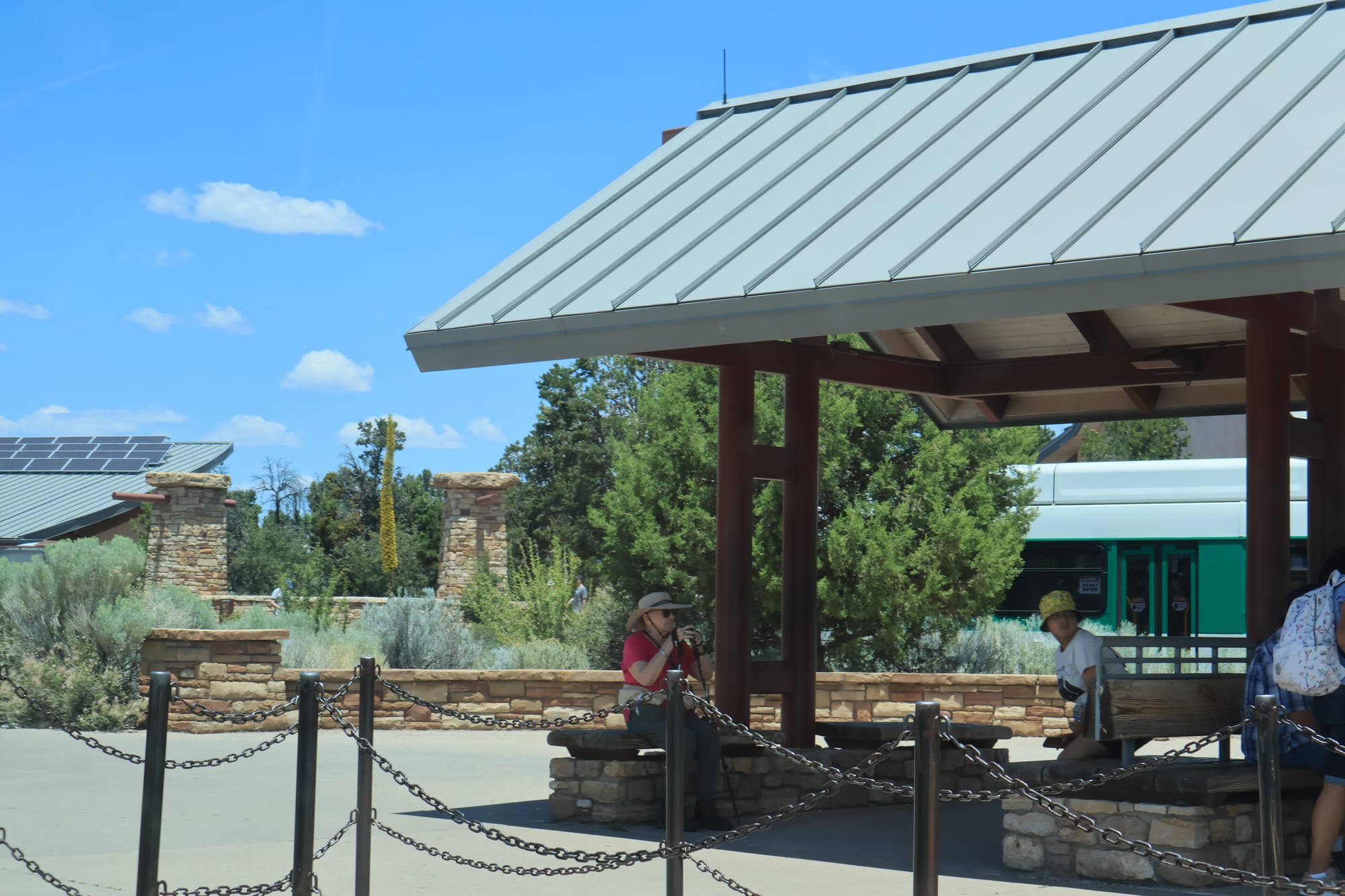
Shuttle Station
The Orange Kaibab Rim shuttle runs from the Visitor Center directly to the South Kaibab Trailhead in about 9 minutes. There is no private-vehicle parking at the trailhead.
For September 12–November 30, 2026, the Orange shuttle runs:
- 6:00 AM onward
- Every 20 minutes from 6–9 AM
- Every 15 minutes from 9 AM until one hour after sunset
Red — Hermit Road
This serves the scenic overlooks along Hermit Road. It's particularly useful if you want spectacular rim views without doing a long canyon hike.
So if you're planning a Grand Canyon Village/South Rim visit, you aren't dealing with the same trail situation as someone trying to hike from the North Rim down toward Phantom Ranch.
Flash Flood
This happened about 2 1/2 months after our visit in June, 2026.
- On August 29, 2026, a flash flood hit Bright Angel Canyon and the Phantom Ranch area, damaging trails, facilities, and the park’s water system.
- Three people died.
- More flooding followed in September, causing additional damage to temporary water infrastructure. The National Park Service has announced a recovery and repair plan.
- Some inner-canyon routes remain affected. Check the park’s current closures and hiking alerts before visiting.
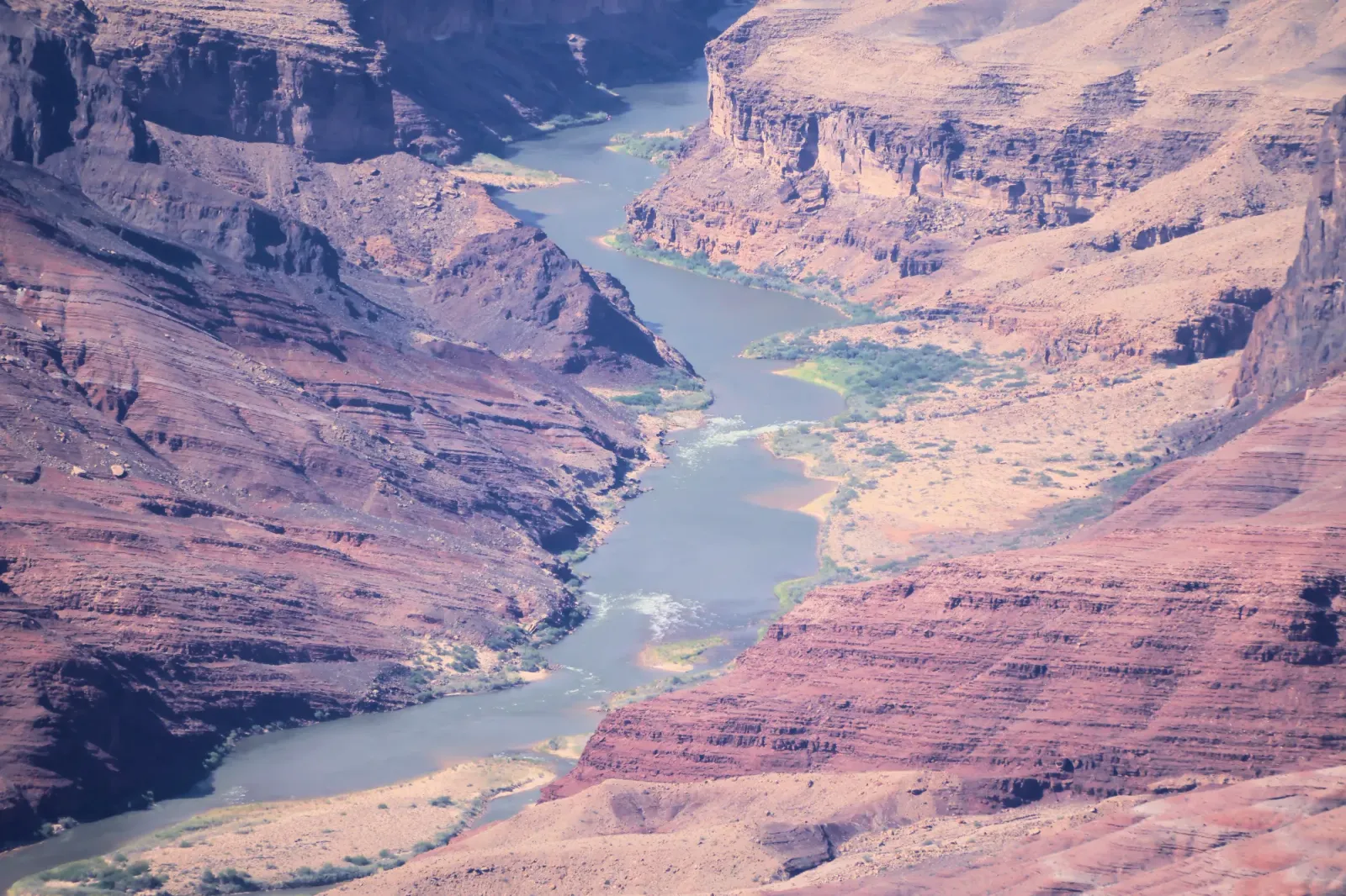
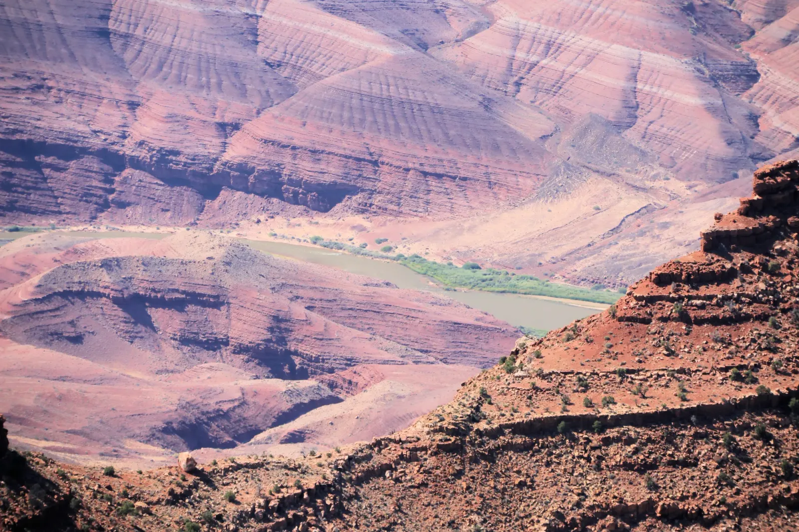
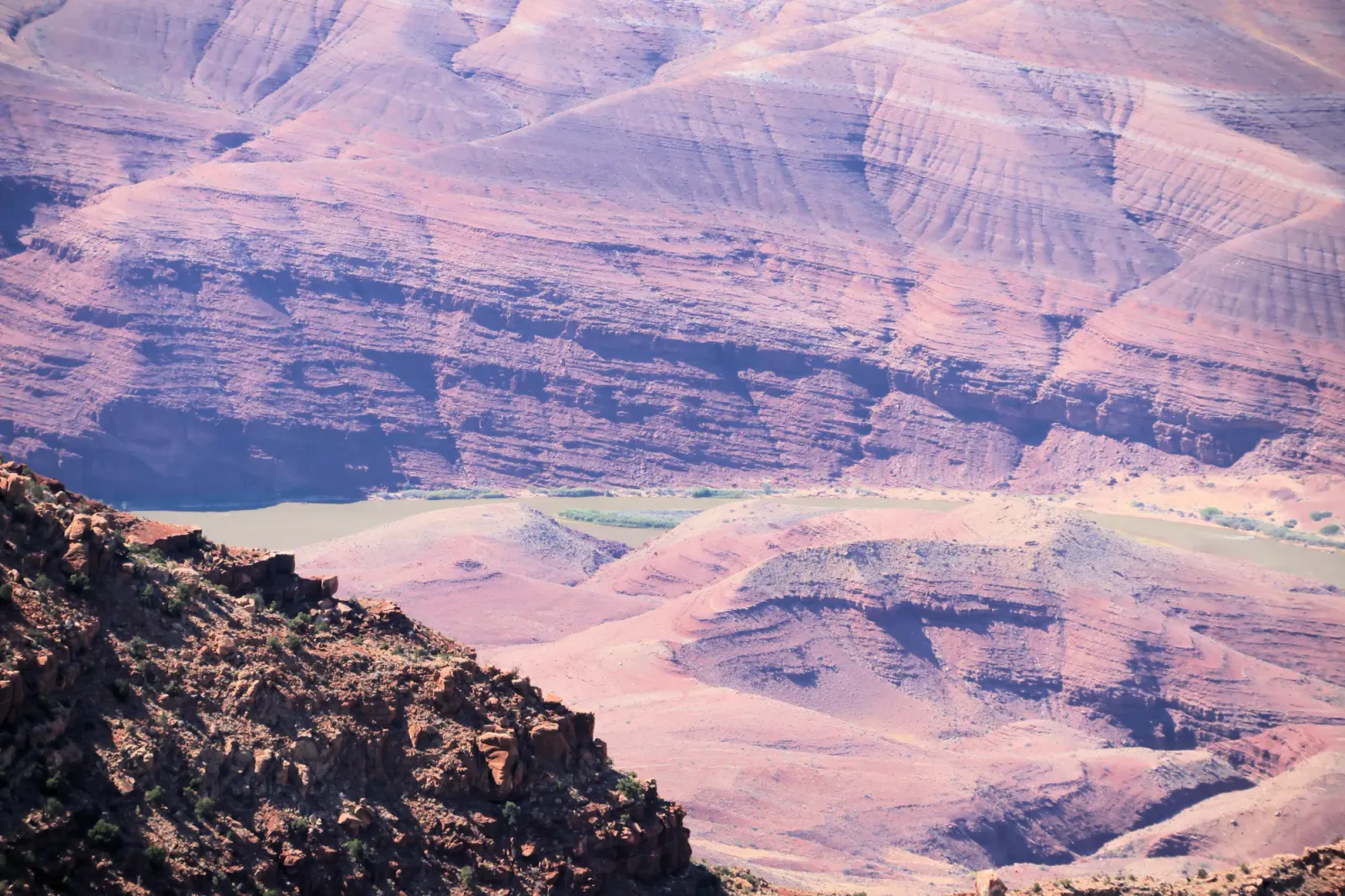
Colorado River
Why did it happen?
The Dragon Bravo Fire ignited on July 4, 2025, after a lightning strike, ultimately scorching about 149,000 acres on the North Rim. Heavy rain later fell over and around the burn scar, especially in the watershed feeding Bright Angel Creek, triggering a rapid flash flood through Bright Angel Canyon and the Phantom Ranch area. Around 80 people were rescued, and three deaths were linked to the flooding. With vegetation gone and soil altered, rainfall caused much faster runoff, while the water carried ash, soil, rocks, and other debris, increasing the flood’s destructive force. The NPS notes that burned watersheds face heightened risks of flash floods and debris flows. On August 29, 2026, a storm system brought unusually moist air to the region, with tropical moisture from Tropical Storm Karina fueling intense monsoon thunderstorms. Flash floods can happen quickly in canyon country, even when it isn’t raining where you are.
Conclusion:
We really enjoyed our Grand Canyon trip. Luckily, it worked out that we were able to take my husband's mother with us. She had never been to the Grand Canyon, and at 91 it was time to go. It was really hot that day. However, we managed with plenty of water, hats, shade when available and rest breaks.
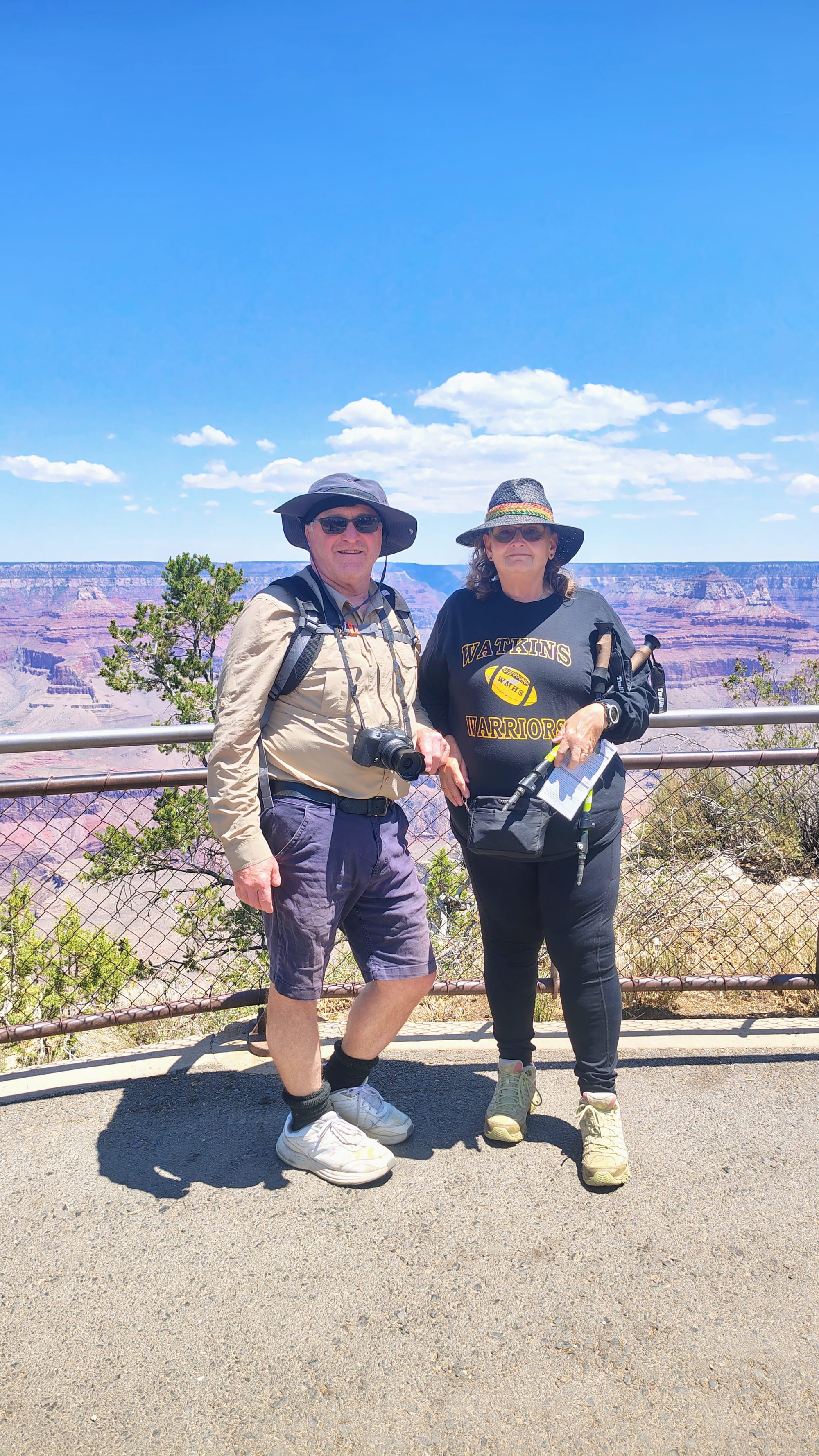
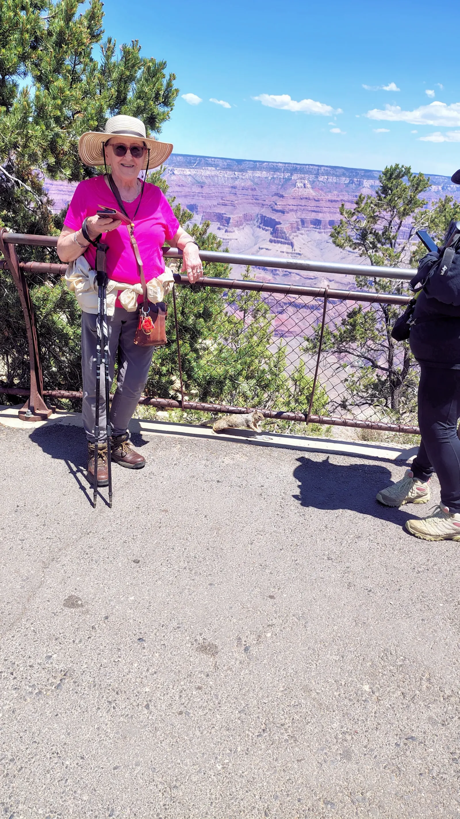
It is cliche' but the Grand Canyon is definitely worth the trip!