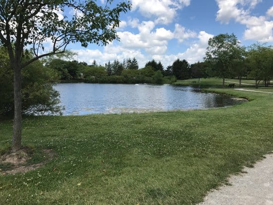
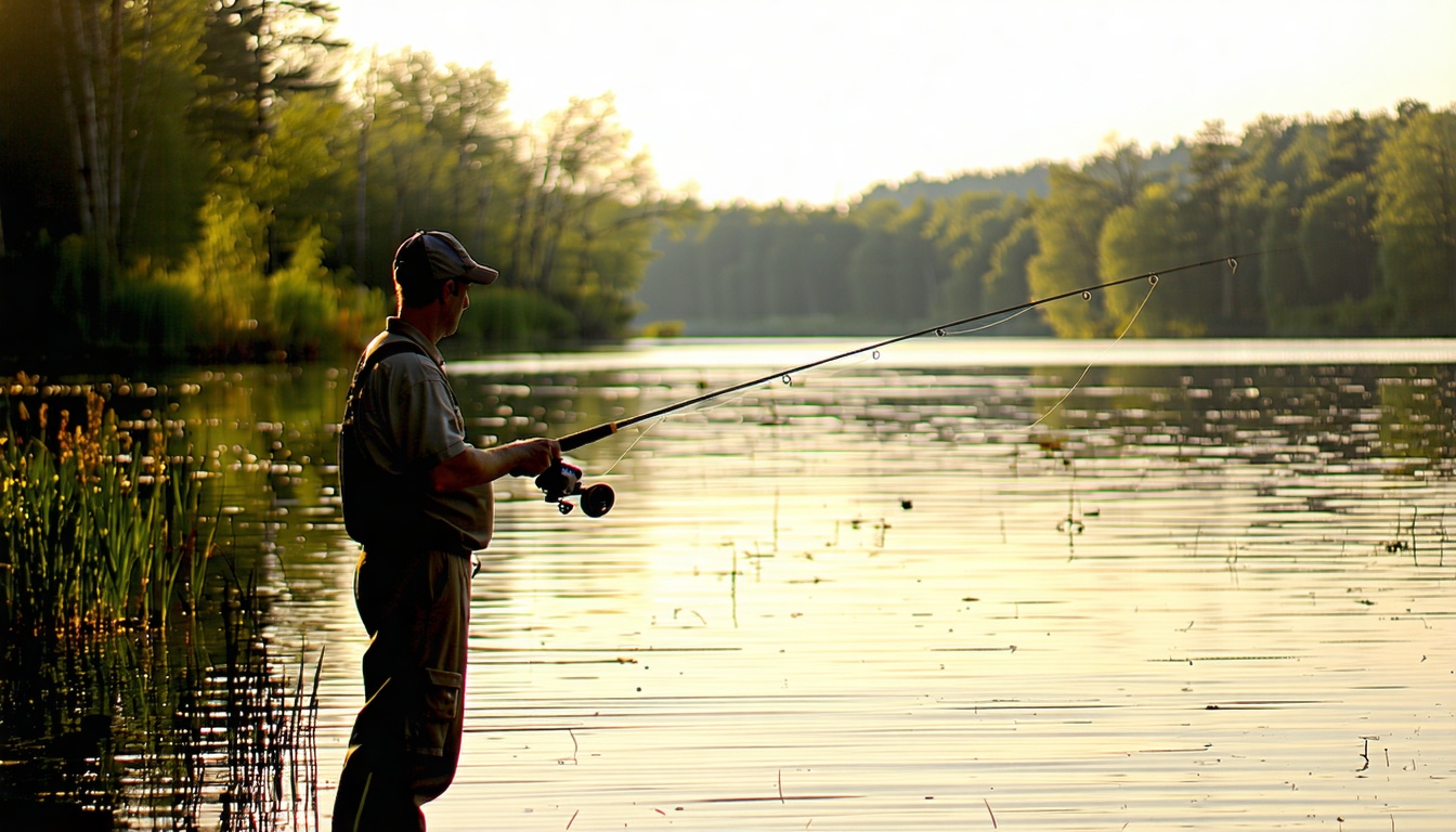
Historically, the area was part of land granted to Revolutionary War Continental Army veterans, and agriculture has remained a consistent use since its settlement.
The gorge is about four miles long and spans 950 acres. It also boasts the only bike trail in Ohio's state nature preserve system; more than 4 miles of paved bike trail crosses the preserve.
The ridge rises to about 1,116 feet and it’s covered in black oaks, shagbark hickories, and northern red oak trees on the upper slopes. From the top of the ridge, you usually can see the Columbus Skyline to the northeast. Lower slopes have sugar maples and American beech trees.
Deer Creek State Park was established in 1955 and is situated around the 1,277-acre Deer Creek Reservoir. The park’s development was part of a broader movement in Ohio to create recreational areas that preserve natural beauty while providing public enjoyment.
Side Cut Metropark spans about 160 acres and is part of the larger Metroparks of the Toledo Area, which encompasses multiple parks and preserves in the Toledo region. The park is known for its natural beauty, riverfront access, and variety of recreational opportunities.
Salt Fork State Park was established in 1957 and is named after the Salt Fork of the Muskingum River which runs through it. The park's name is in refer to the historical salt licks in the area, which were significant to early settlers and indigenous peoples.
Both Metro Parks and the City of Columbus are major partners in the Greenways project, developed by MORPC (the Mid-Ohio Regional Planning Commission) to connect our region’s scenic river corridors with local neighborhoods, parks and attractions.
The reservoir is situated just east of the city of Findlay, making it accessible for local residents and visitors. Over time, as recreational interests grew, the area around the reservoir was developed to include trails and other amenities, turning it into a multi-purpose rec