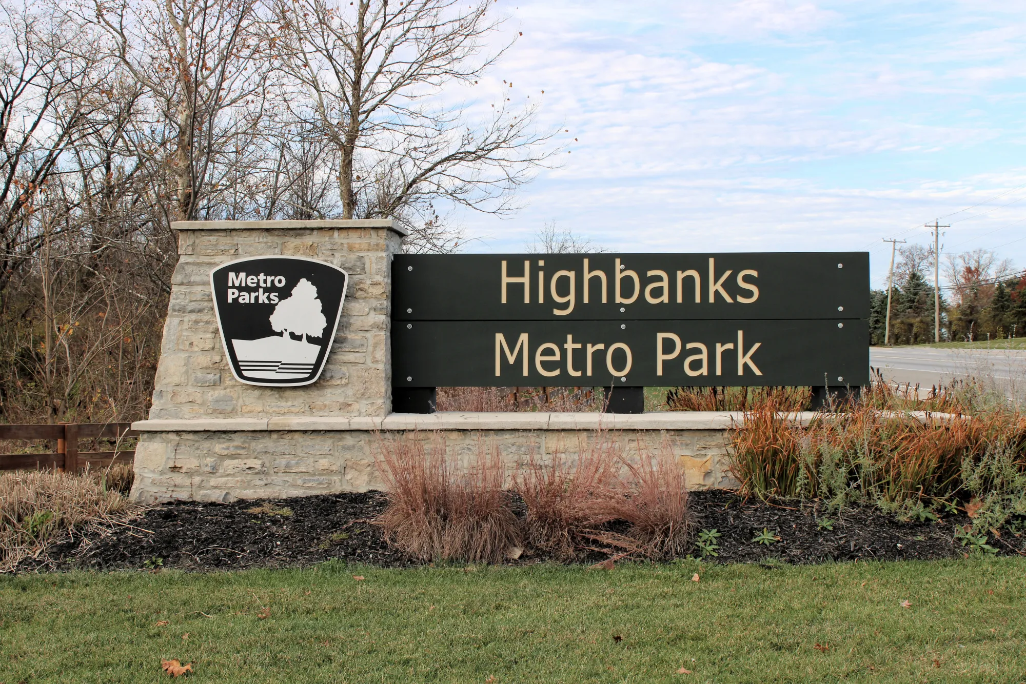
Highbanks Metro Park
Trail Map
Interactive map showing the trail route for Highbanks Metro Park. The map displays topographic information and trail markers.
Elevation Profile
Elevation data not available for this trail.
Chart showing elevation changes along the trail distance. Hover or focus on the chart to see specific elevation values at each point.
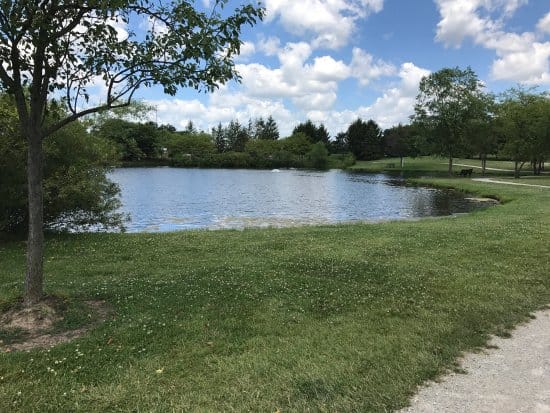
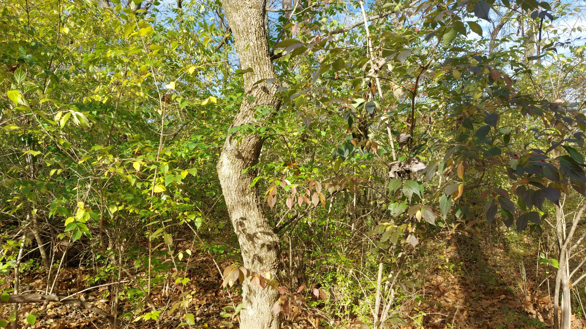
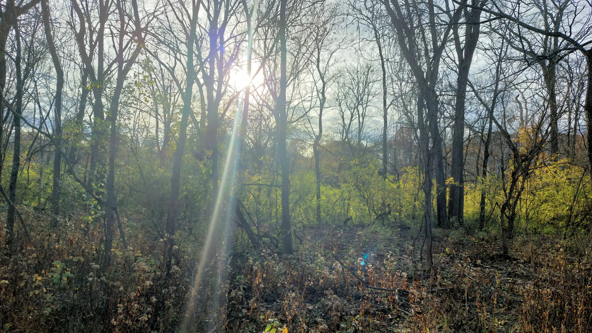
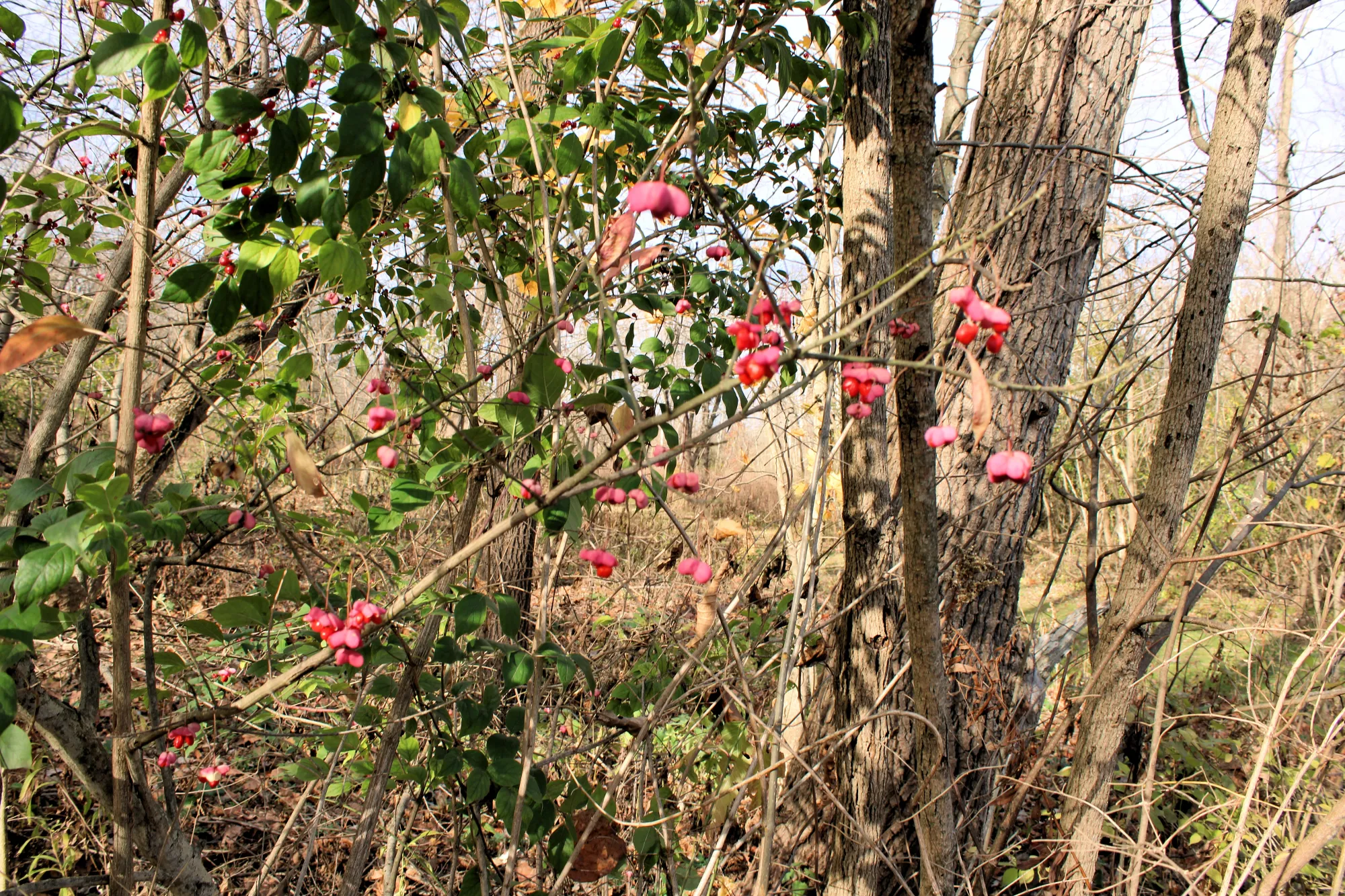
Highbanks Metro Park, located in Lewis Center, Ohio, is renowned for its rich natural and cultural history. Established in 1973, the park encompasses 1,204 acres of diverse landscapes, including dense forests, meadows, ravines, and the distinctive 100-foot shale bluffs along the Olentangy River.
Highbanks Metro Park became the fifth park in the Columbus and Franklin County Metro Parks system. In 1980, the park was designated as a National Natural Landmark by the National Park Service, acknowledging its exceptional natural features.
In 2017, the park expanded with the opening of the River Bluff Area, providing additional trails and river access points for visitors.
Features
- Shale Bluffs and Ravines: The park's bluffs are composed of Ohio black shale and Olentangy shale, with tributary streams carving deep ravines. These geological formations are approximately 350 million years old and offer scenic views of the river below.
- Edward F. Hutchins State Nature Preserve: Designated in 1972 and named after a former Metro Parks director, this 206-acre preserve is part of the park and is recognized as a National Natural Landmark for its outstanding natural beauty.

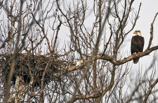
- Bald Eagles: Since 2010, a pair of bald eagles has nested in the park, making it one of the few Metro Parks locations to host these majestic birds.


History
Before European settlers arrived in Ohio, the area around Highbanks was inhabited by Native American cultures. The Adena culture, which flourished around 1000 BCE to 100 CE, left behind burial mounds in the area, including two prominent mounds in the park, now protected as part of the Highbanks Metropolitan Park Mounds I and II. These burial mounds and other earthworks, such as the Highbank Park Works, are key archaeological features that offer insight into the lives of these ancient peoples.
In the 1800s, the land began to be settled by European Americans. Like much of the region, the area was part of a larger pattern of homesteading, agriculture, and industrial development.
The land that is now Highbanks Metro Park was privately owned until the mid-20th century. During this period, farming and logging were common activities in the area, and some of the original settlements were likely agricultural.
Formation of Highbanks Metro Park
In the 1960s and 1970s, after years of increased urban growth in Columbus and surrounding areas, the Columbus and Franklin County Metro Parks system was established to preserve natural spaces and protect ecological areas from urban sprawl.
In 1973, Highbanks Metro Park officially opened as the fifth park in the system, thanks to the combined efforts of the city and county government and the Metro Parks system. The acquisition of the land was made possible by private citizens, funding, and conservation efforts to preserve the unique shale bluffs and natural features of the park.
The Wright and Craycraft Families
The specific land that became Highbanks Metro Park was owned by the Wright and Craycraft families in the 19th and early 20th centuries. These families were typical of the landowners in the area during the time. As farming became less profitable and land use shifted toward urbanization in the mid-20th century, the region began to be eyed for conservation efforts. I could not find definitive information about these families and their relationship to Highbanks Metro Park.
Pool Family
The recreated cemetery can be found just off the Overlook Trail. It belongs to some of the area’s earliest settlers. Joseph and Sally Pool arrived from New York in 1812, and they and their 13 children farmed the land that is now part of Highbanks. No one knows where they’re buried. The headstones were found stacked just south of the park and moved to this location in 1981.
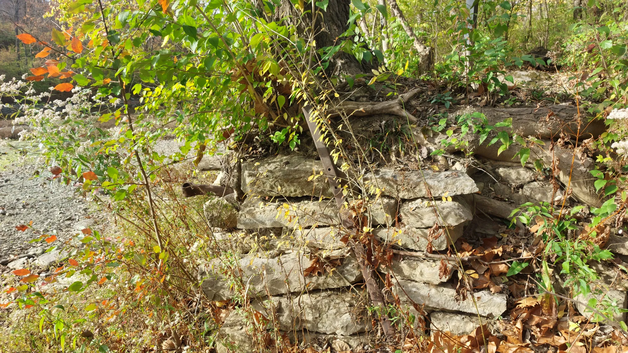
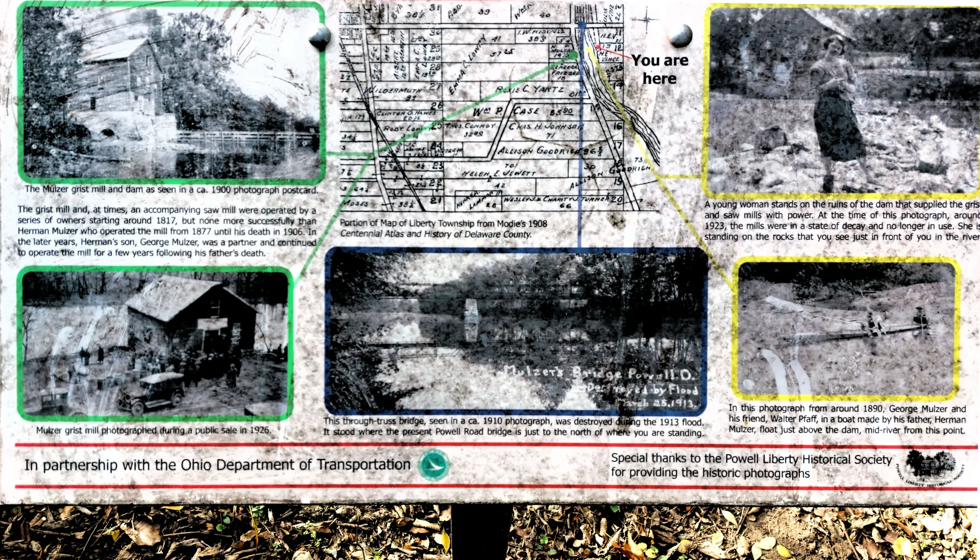
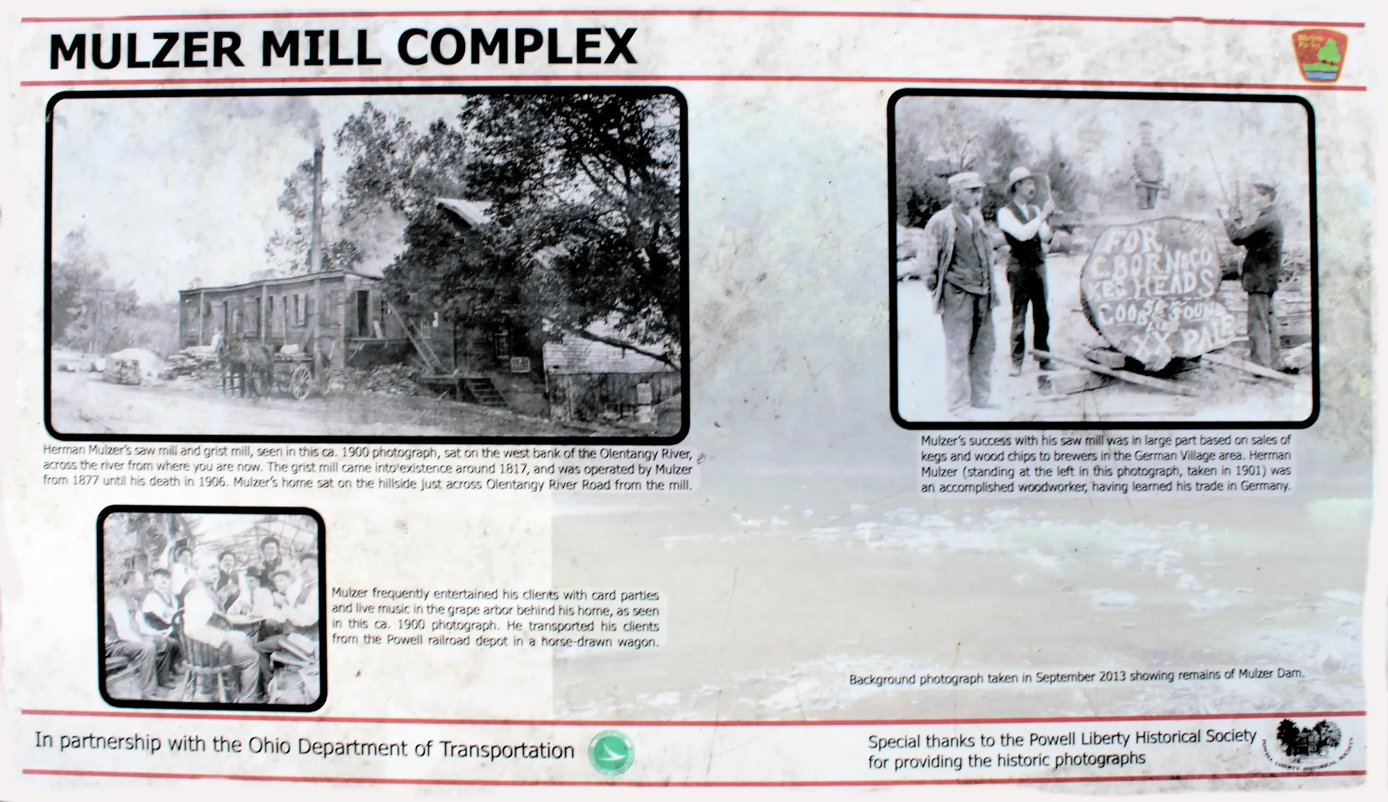
Mulzer Mill Complex
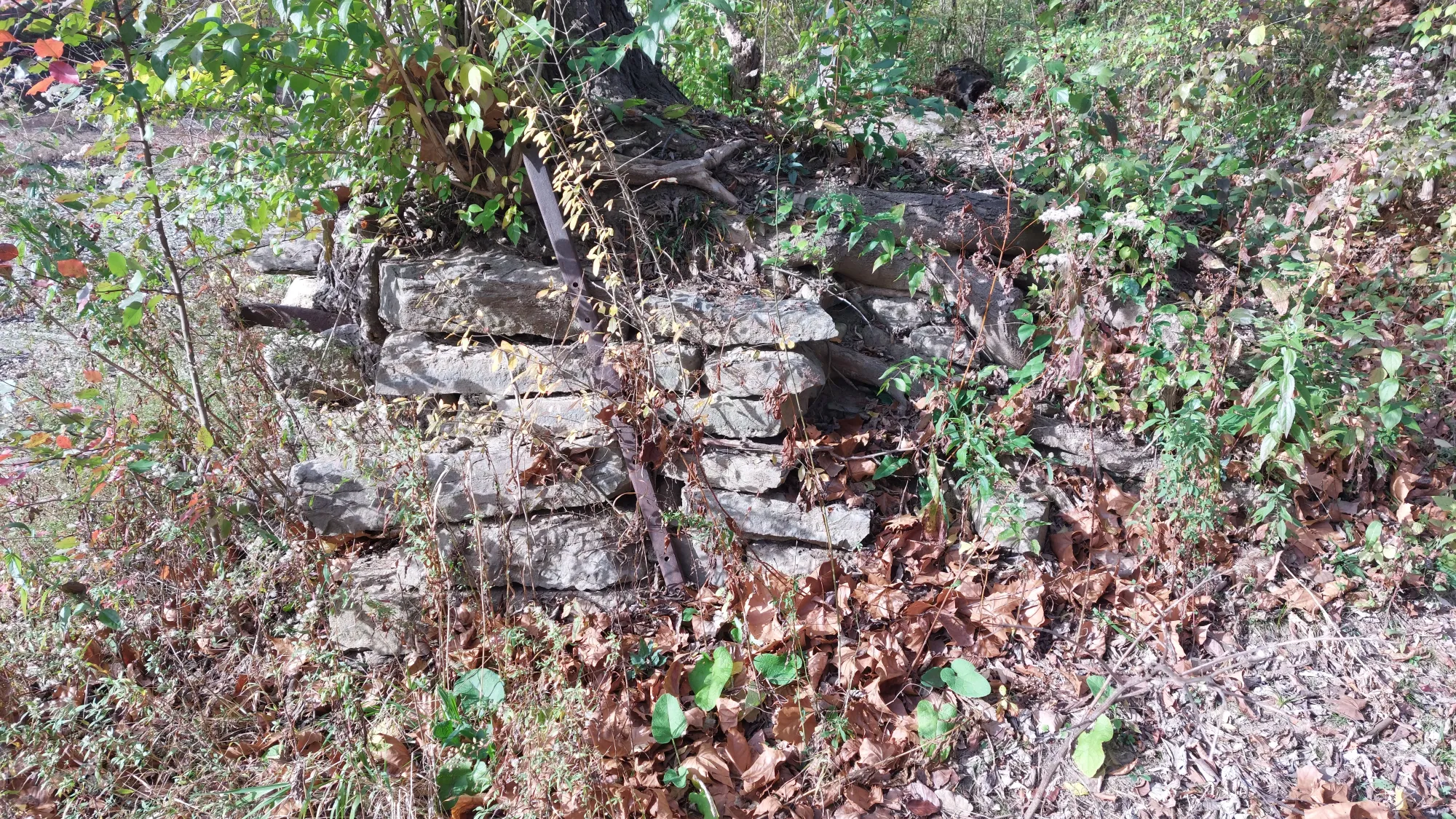
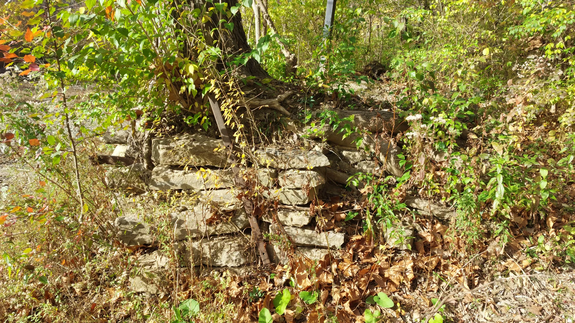
Herman Mulzer’s sawmill and grist mill, seen in this circa 1900 photograph, sat on the west bank of the Olentangy River, across from the river from where you are now. The grist mill came into existence around 1817, and was operated by Mulzer from 1877 until his death in 1906. Mulzer’s home sat on the hillside just across Olentangy River Road from the mill.
Mulzer’s success with his sawmill was in large part based on sales of kegs and wood chips to brewers in the German Village area. Herman Mulzer was an accomplished woodworker, having learned his trade in Germany.
Mulzer frequently entertained his clients with card parties and live music in the grape arbor behind his home. He transported his clients from the Powell railroad depot in a horse-drawn wagon.
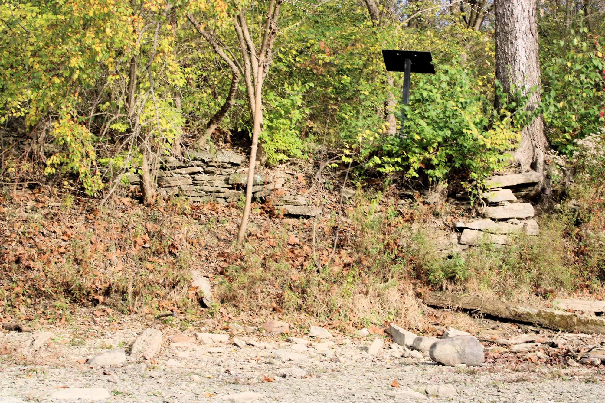
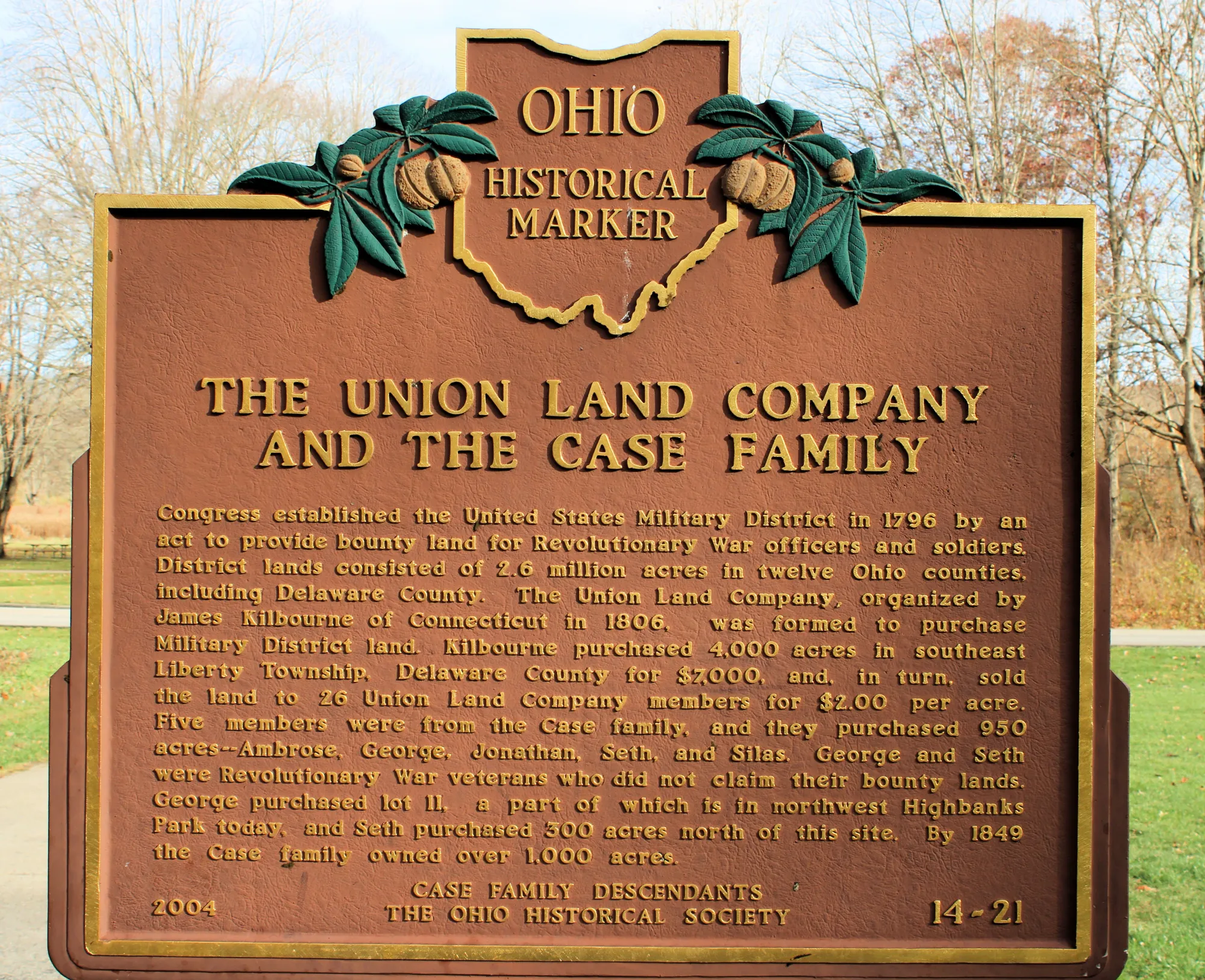
Case Family Historical Marker and Olentangy River Road
The Case family purchased 950 acres--Ambrose, George, Jonathan, Seth, and Silas. George and Seth were Revolutionary War veterans who did not claim their bounty lands. George purchased lot 11, a part of which is in northwest Highbanks Park today, and Seth purchased 300 acres north of this site. By 1849 the Case family owned over 1,000 acres.
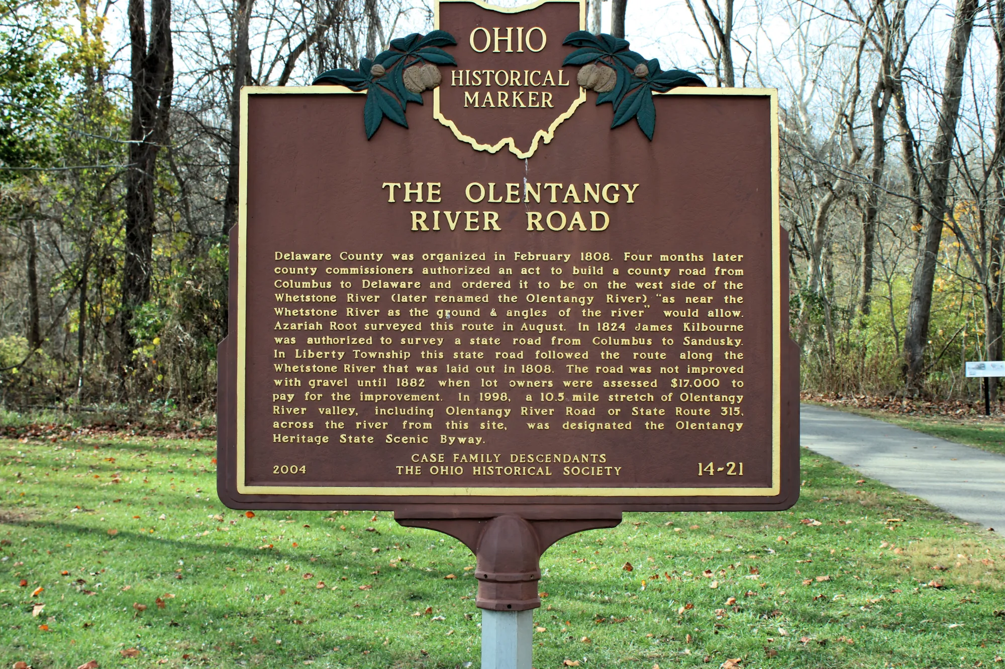
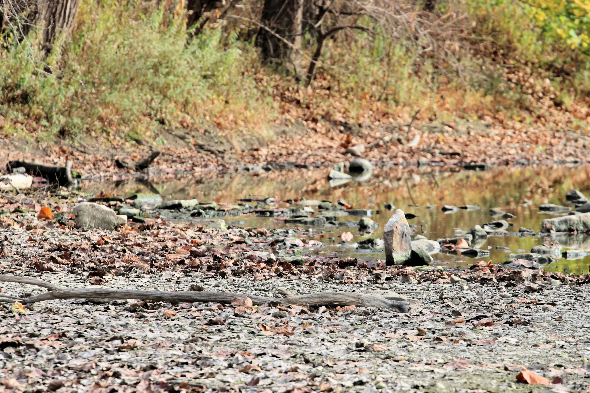
Olentangy River was formerly known as Whetstone River
Highbanks Metro Park Mounds
The Adena and Hopewell culture mounds were designated and preserved as a National Historic Landmark in 1978 due to their archaeological importance. The park’s historical significance, coupled with its rich natural landscapes, makes it a unique combination of both natural and cultural history.
- Highbanks Metropolitan Park Mounds I and II: These Adena culture burial mounds, dating back over 2,000 years, are located within the park and are listed on the National Register of Historic Places.
- Highbank Park Works: An ancient earthwork constructed by the Cole culture between 700 and 1,300 years ago, this semi-elliptical embankment is also listed on the National Register of Historic Places.
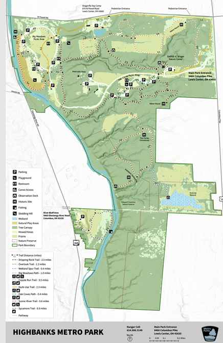
Trails
Big Meadows Path
1 mile
Easy – Hike, Bike, Pets – Paved
Goes through meadows and playfields.
Coyote Run
3.5 miles
Moderate – Hike, Pets, Cross-country ski – Grass and dirt
Goes through woods and fields. Reserved for cross-country skiing when conditions are suitable.
Dripping Rock
2.5 miles
Moderate to difficult – Hike – Gravel
Goes through forest and passes steep ravines
Multiuse
2.3 miles
Easy – Hike, Bike, Pets – Paved
Goes through woods and fields.
Oak Coves Path
0.4 miles
Easy – Hike, Bike, Pets – Paved
Passes meadows and playfields.
Overlook
2.3 miles
Moderate to difficult – Hike – Gravel
Goes through a state nature preserve to an observation deck 100 feet above the Olentangy River.
Scenic River
0.6 miles
Easy – Hike, Pets – Gravel – ADA
Goes through forest and alongside the Olentangy River.
Sycamore
0.9 miles
Easy – Hike – Gravel – ADA
Winds through a forest of sycamore, buckeye and cottonwood and alongside the river.
Wetland Spur
0.4 miles
Easy to moderate – Hike – Grass and dirt
Goes through forest to a wetland with an observation deck.
Conclusion
We really enjoyed our visit to Highbanks Metro Park. It is a beautiful park with great trails and awesome views. We definitely plan to return to this park.

More in