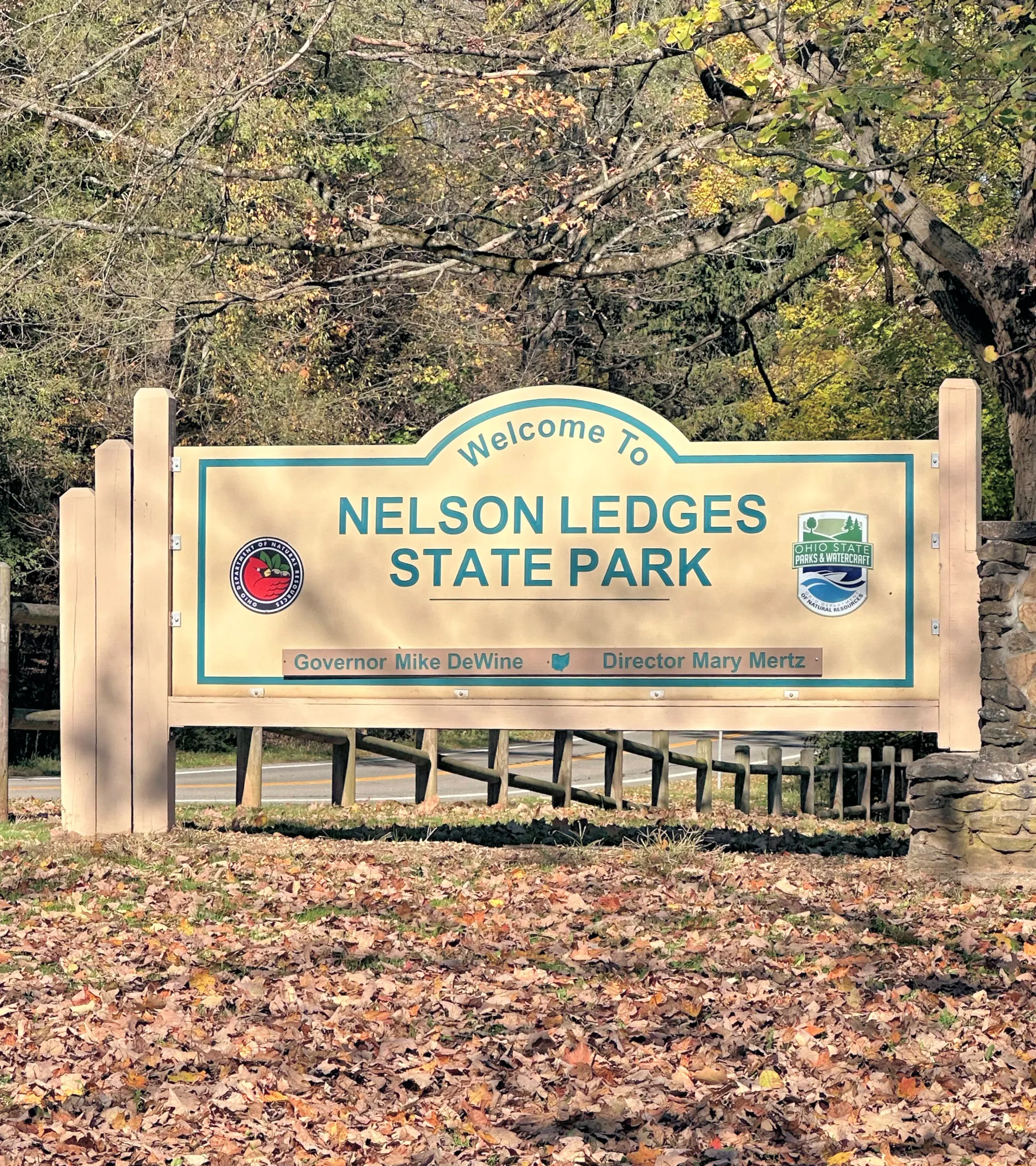
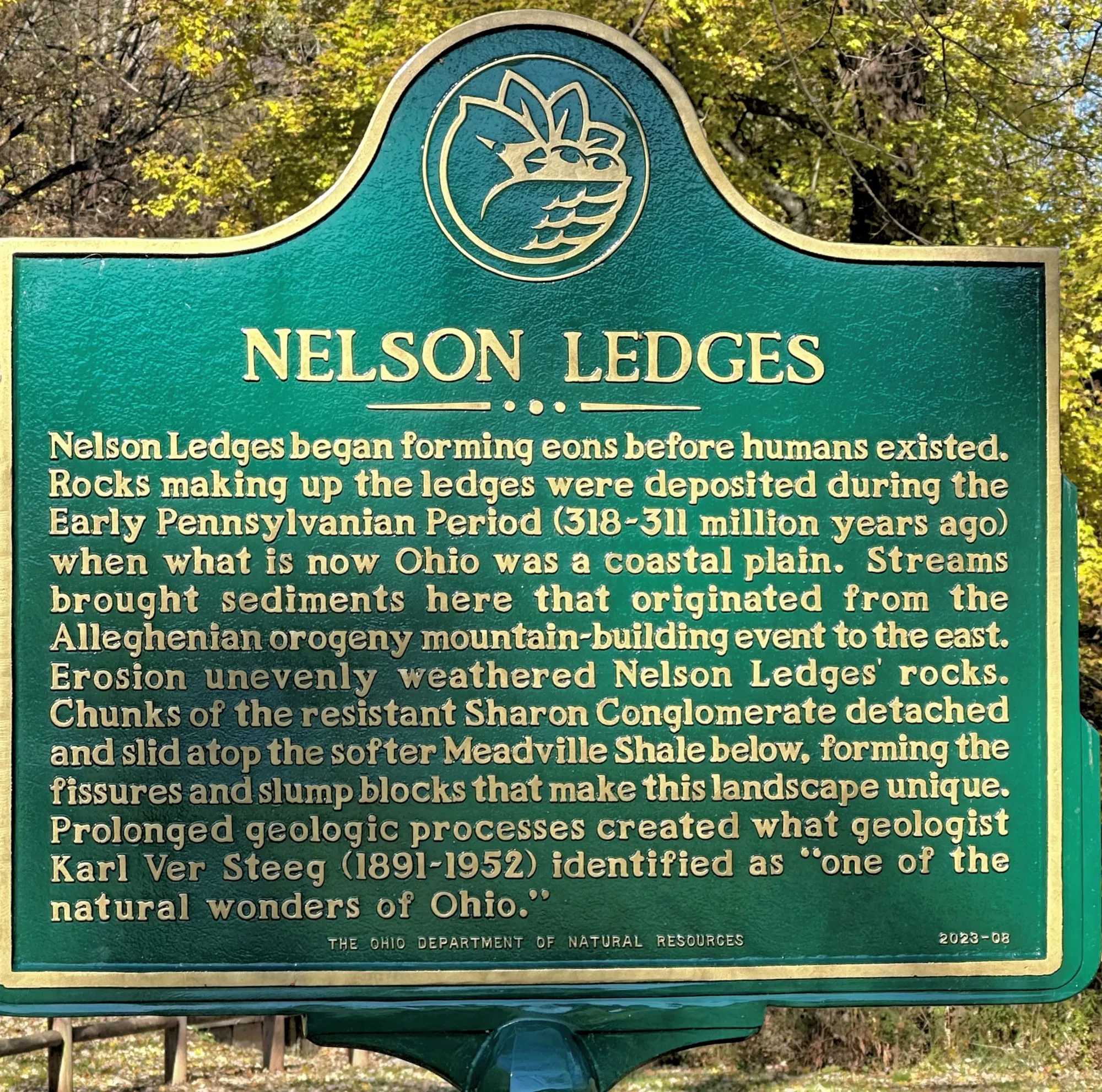
Nelson Kennedy Ledges State Park
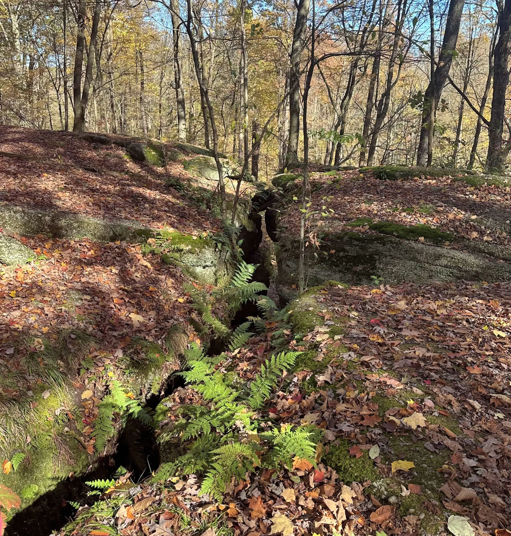
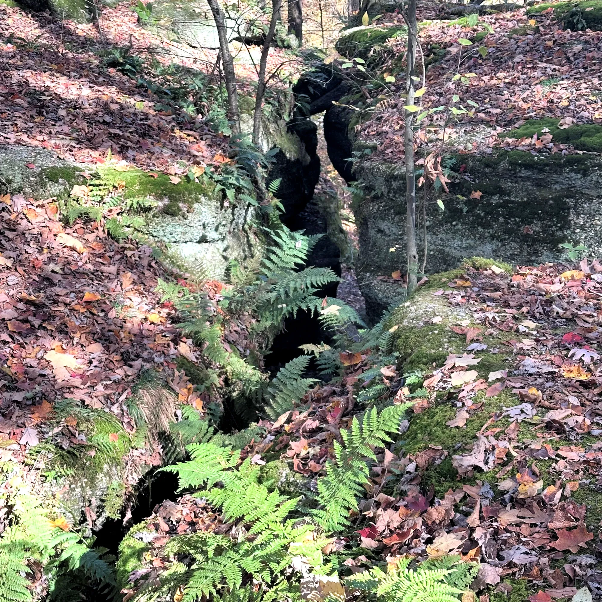
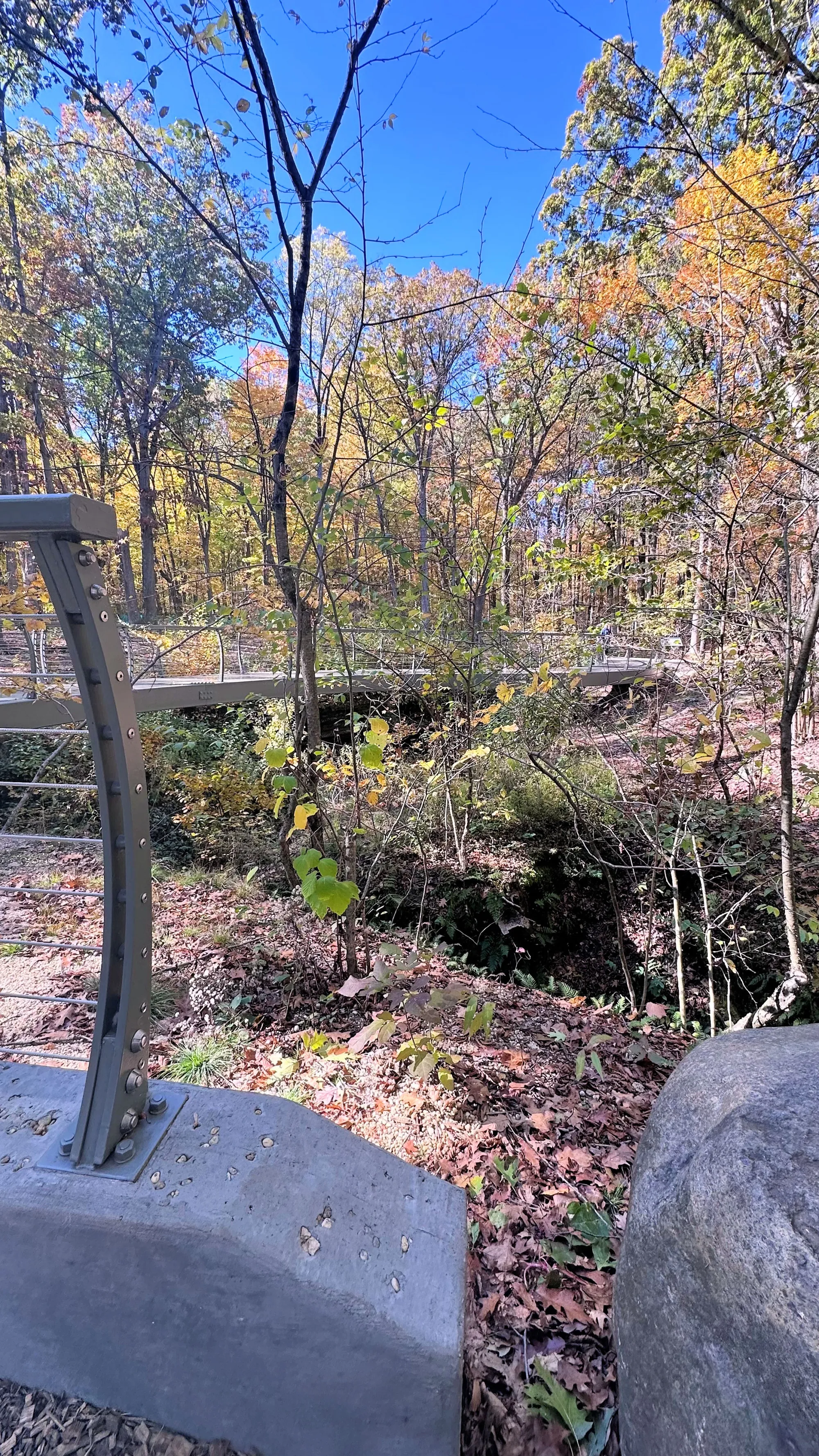
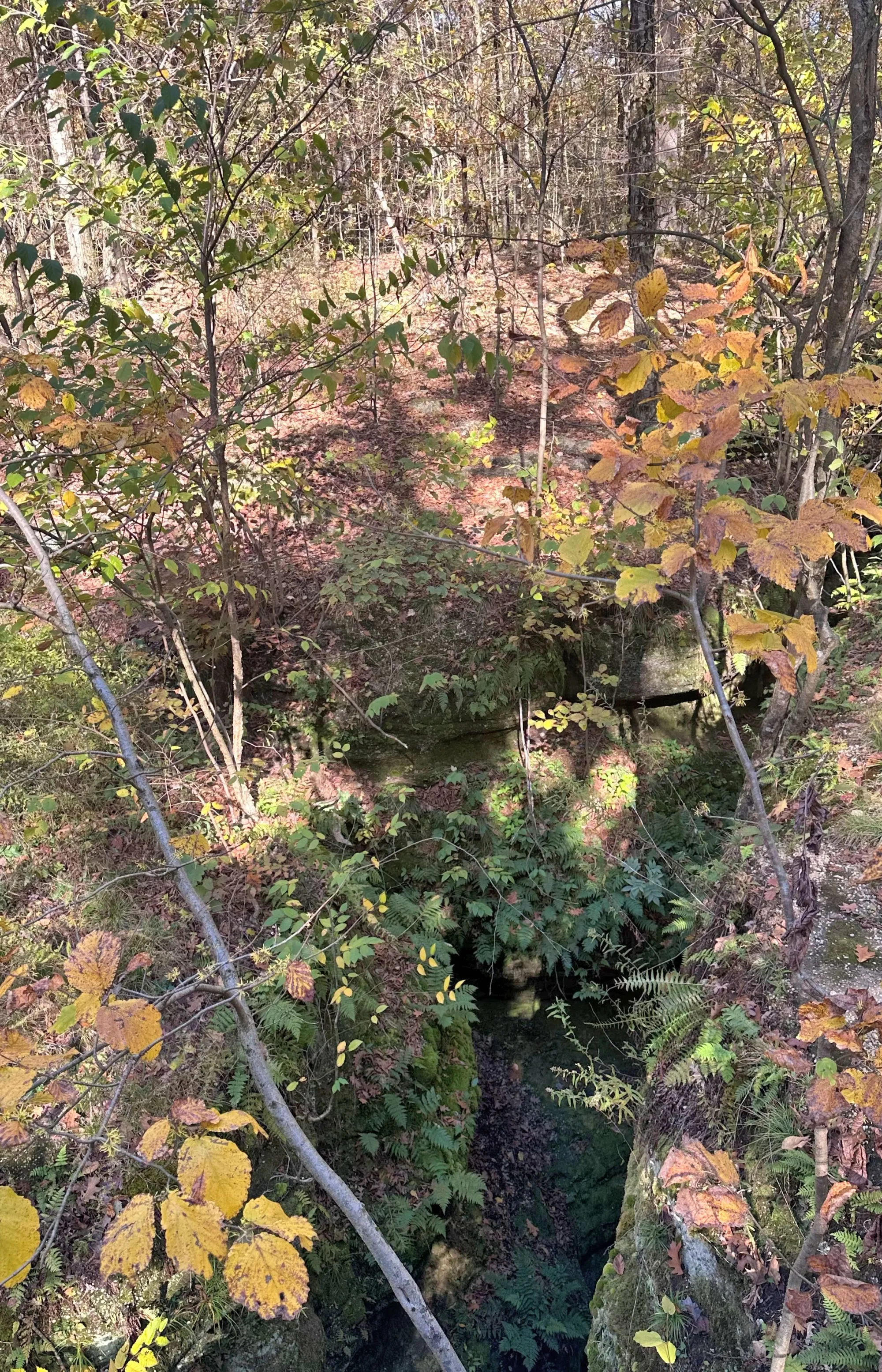
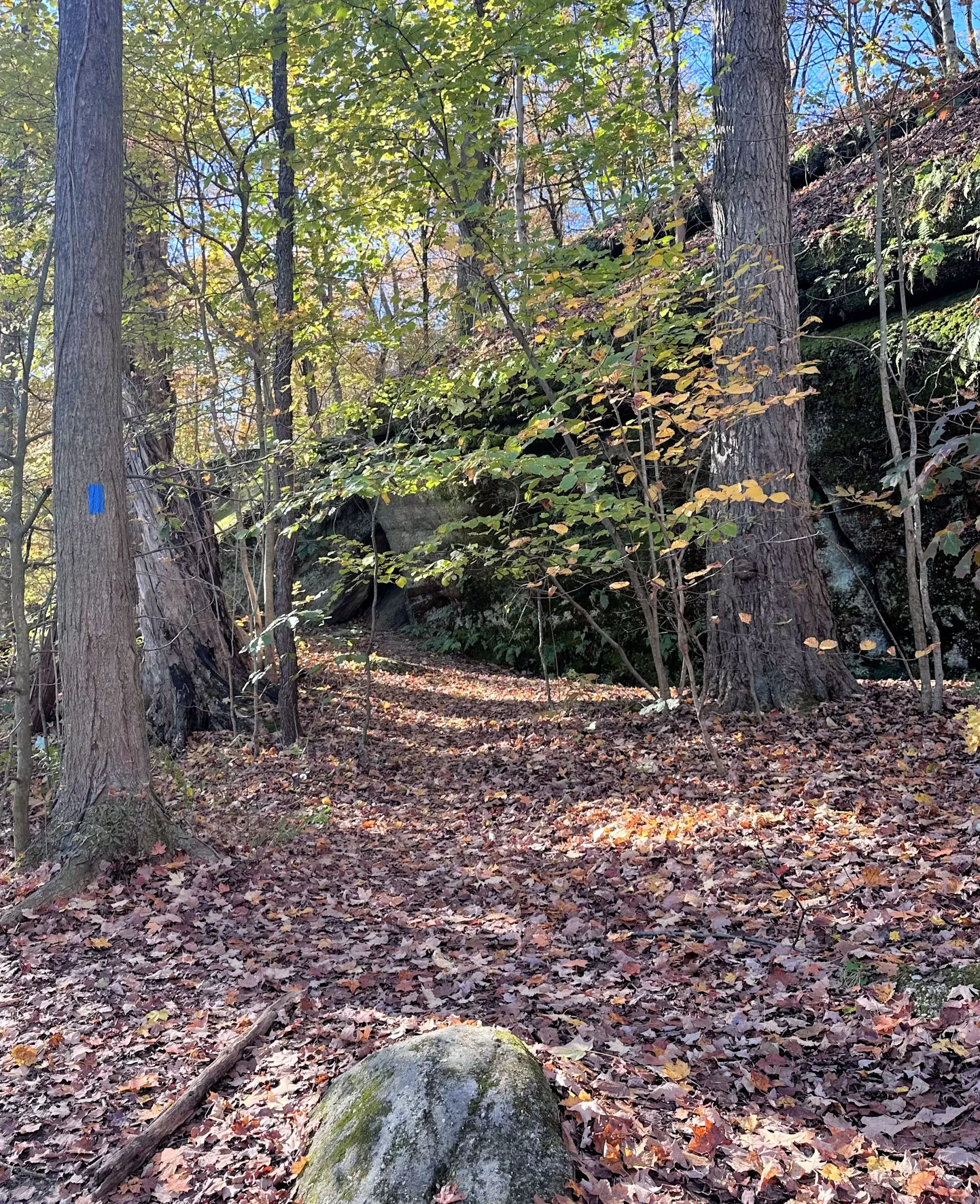
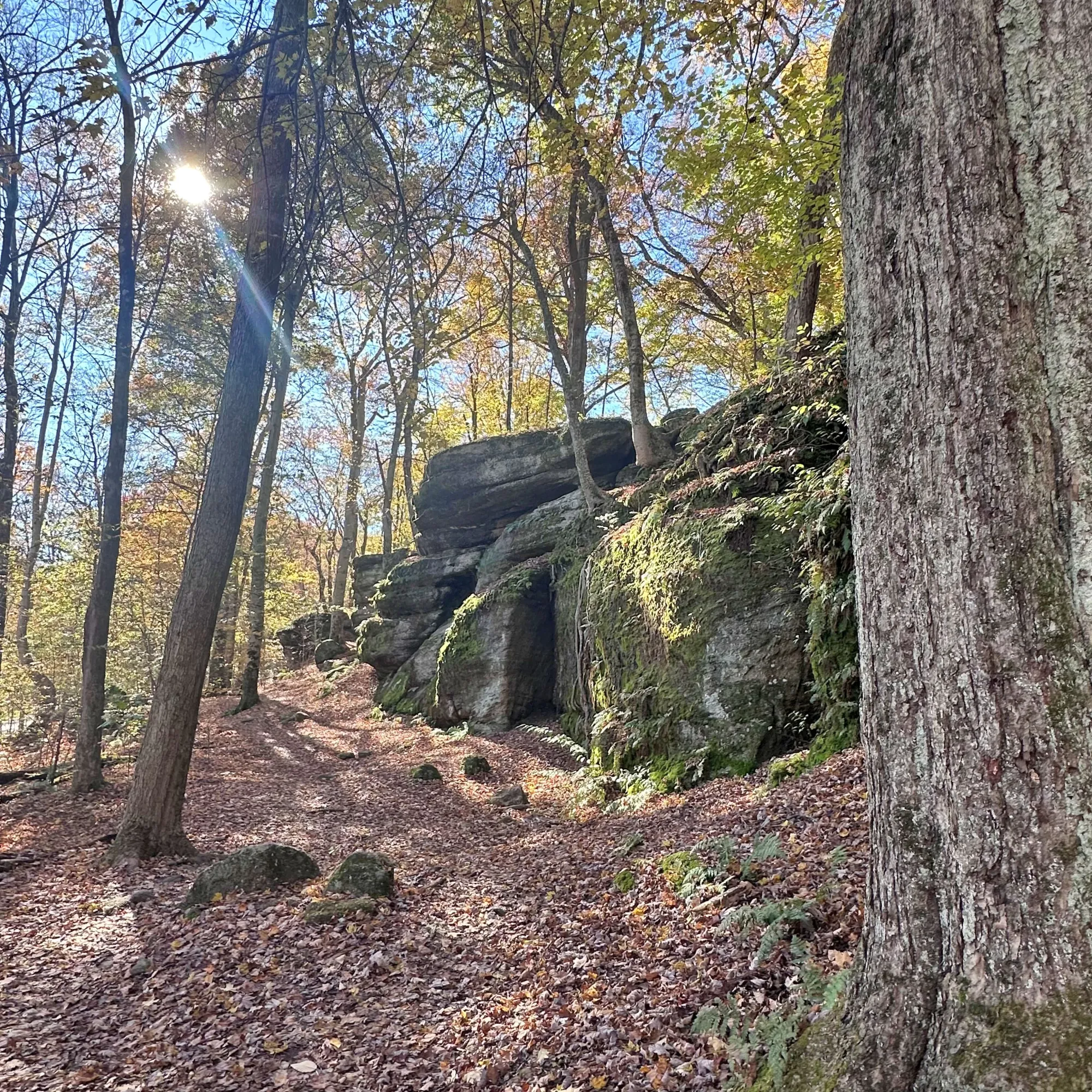
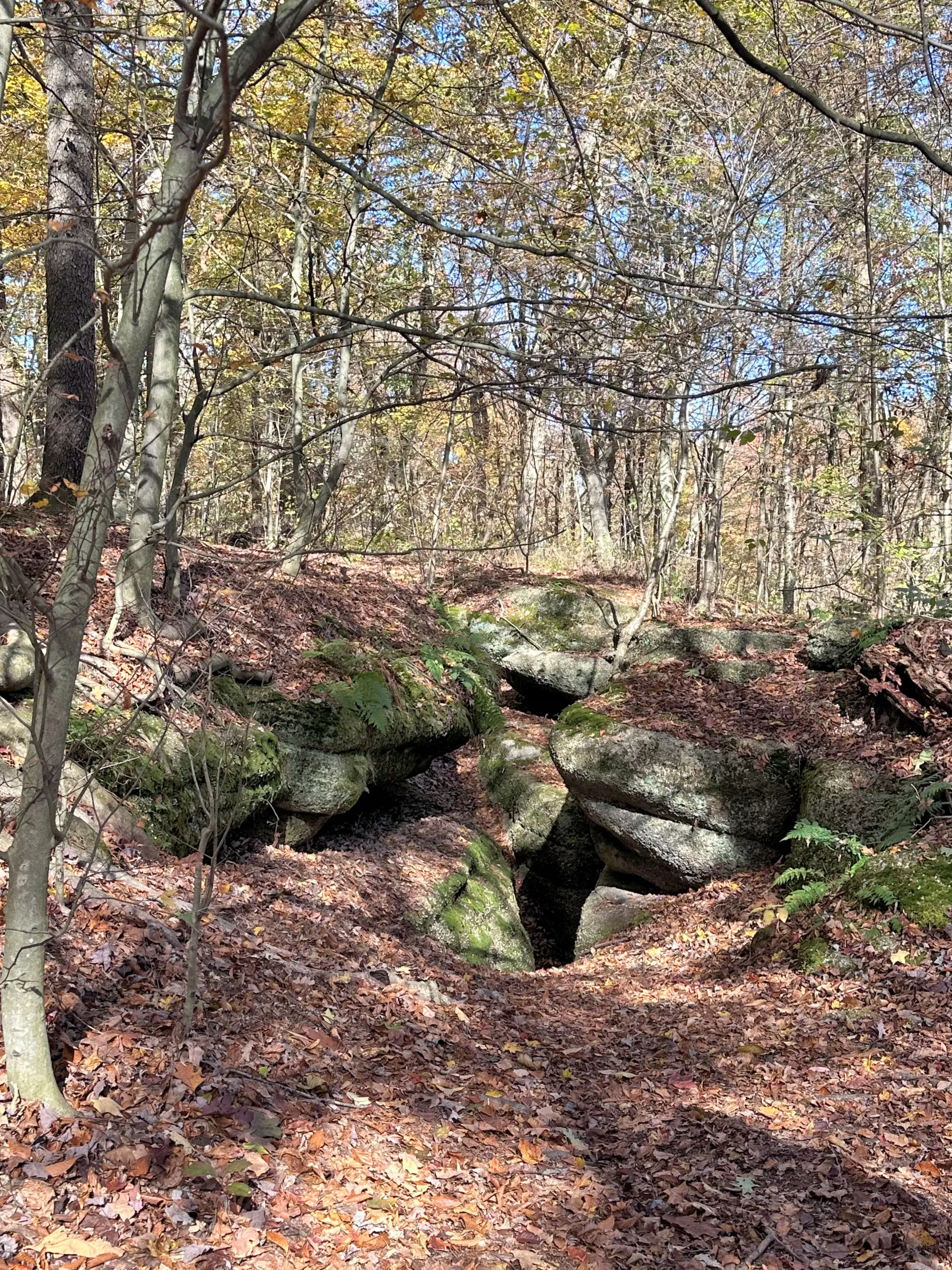
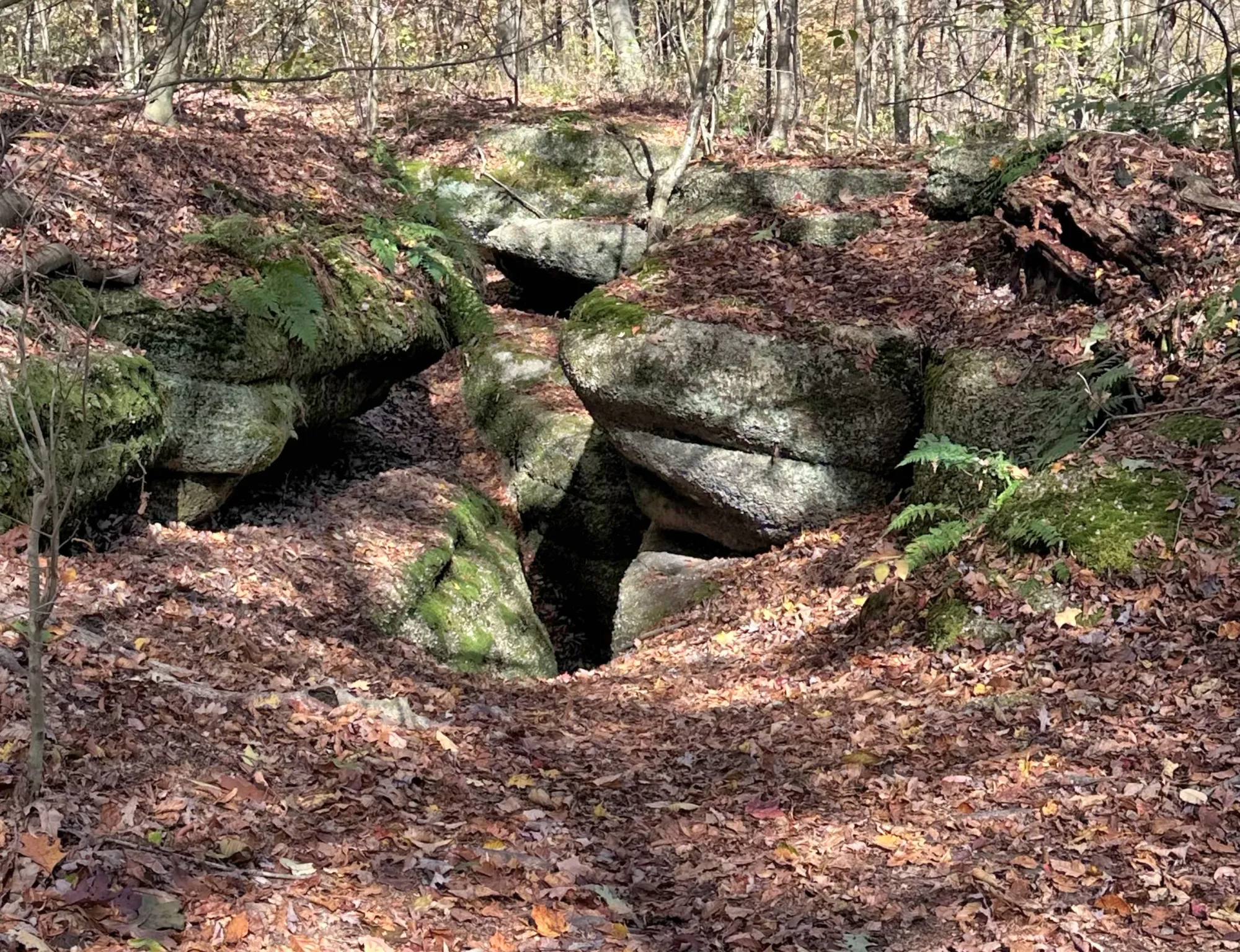
Nelson-Kennedy Ledges State Park is a 167-acre Ohio state park known for unique sandstone rock formations, deep rock fissures (some ~60 ft deep), waterfalls, narrow passageways, and scenic hiking trails. The terrain includes features with names like Devil’s Icebox, Cascade Falls, Old Maid’s Kitchen, The Narrows, and Minnehaha Falls.
Brief Description of the Some of the Features
Cascade Falls
- Falls drop roughly 40 feet down a rock face (approximate measure).
- It’s not a huge, high-volume waterfall like those in mountainous regions, but it’s one of the more prominent water features in the park.
- Reached by the Yellow Trail
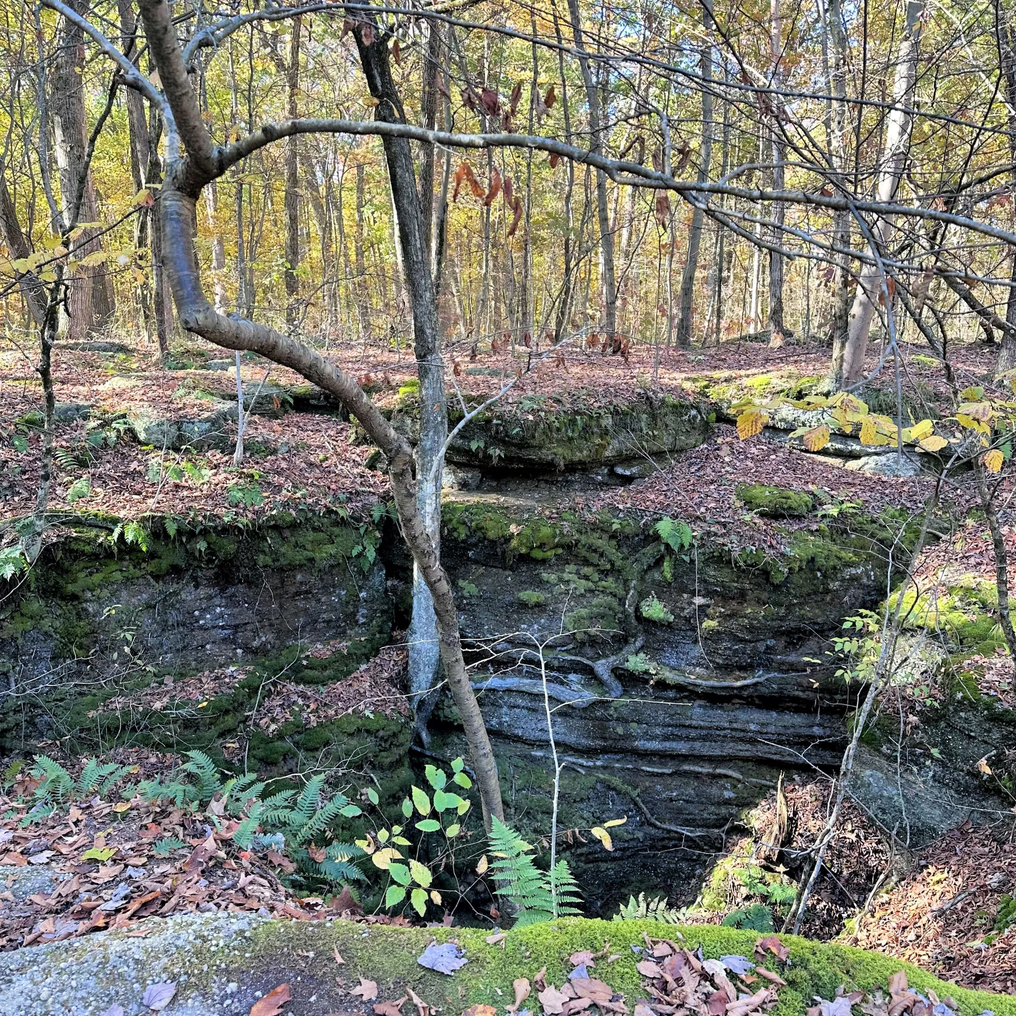
The Narrows
A tight sandstone corridor where towering cliff walls close in on both sides.
- Cool, shaded, and dramatic
- Feels canyon-like despite being in northeast Ohio
- One of the park’s most photogenic stretches
Old Maid’s Kitchen
A shallow rock shelter carved into the cliff face.
- Name comes from old folklore—early settlers liked giving playful names to natural features
- Likely used historically as a temporary shelter or resting spot
- Good example of erosion along weaker rock layers
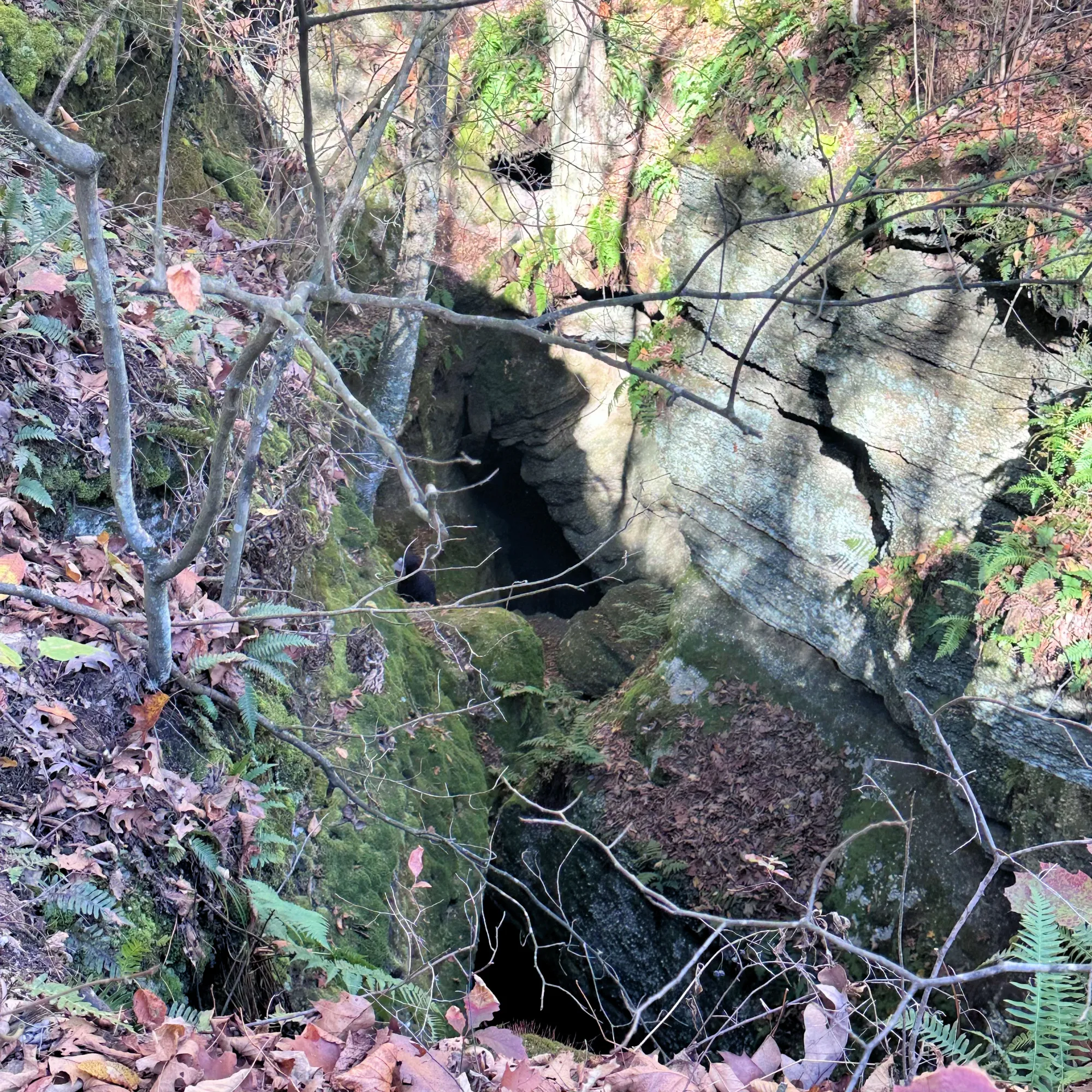
Gold Hunter’s Cave
A small cave and overhang area.
- Linked to local legends of would-be gold seekers (no real gold was ever found)
- Classic Ohio sandstone cave formed by water and freeze-thaw action
- Fun stop, especially if you like park folklore
The Squeeze
Exactly what it sounds like
- A very narrow passage between rock walls
- Short but memorable—great for adventurous hikers
- Not ideal if you’re claustrophobic or carrying a big pack
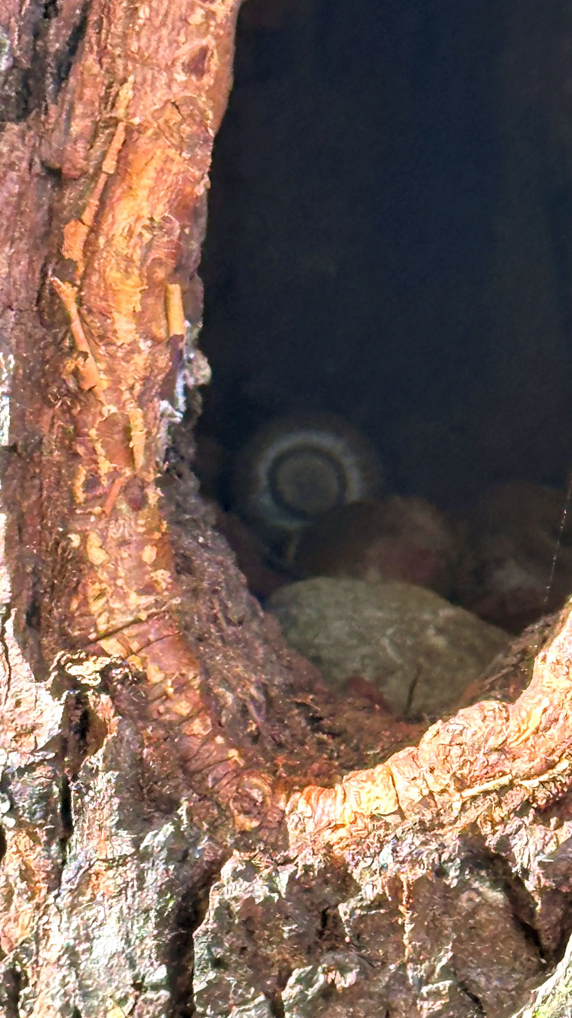
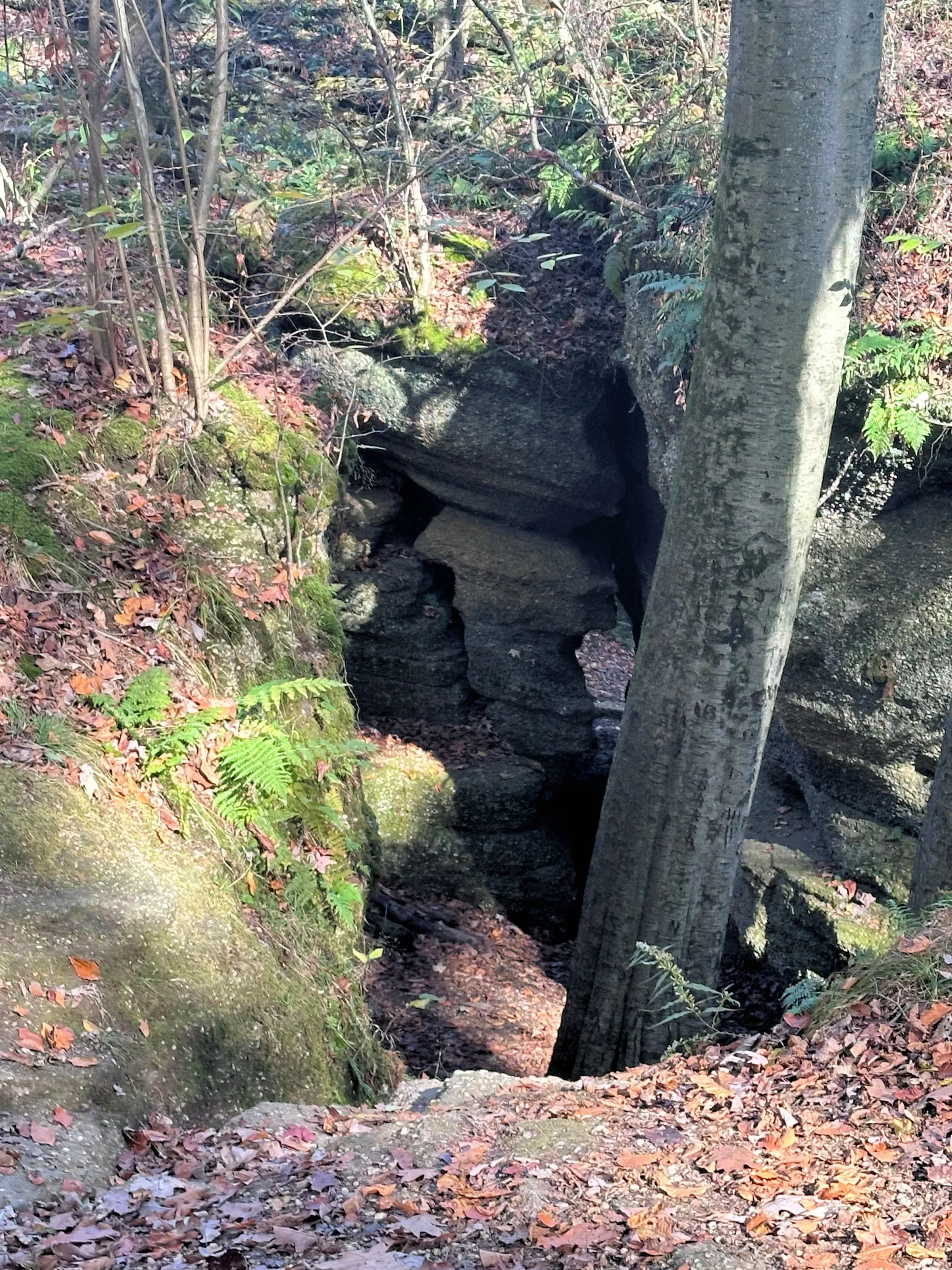
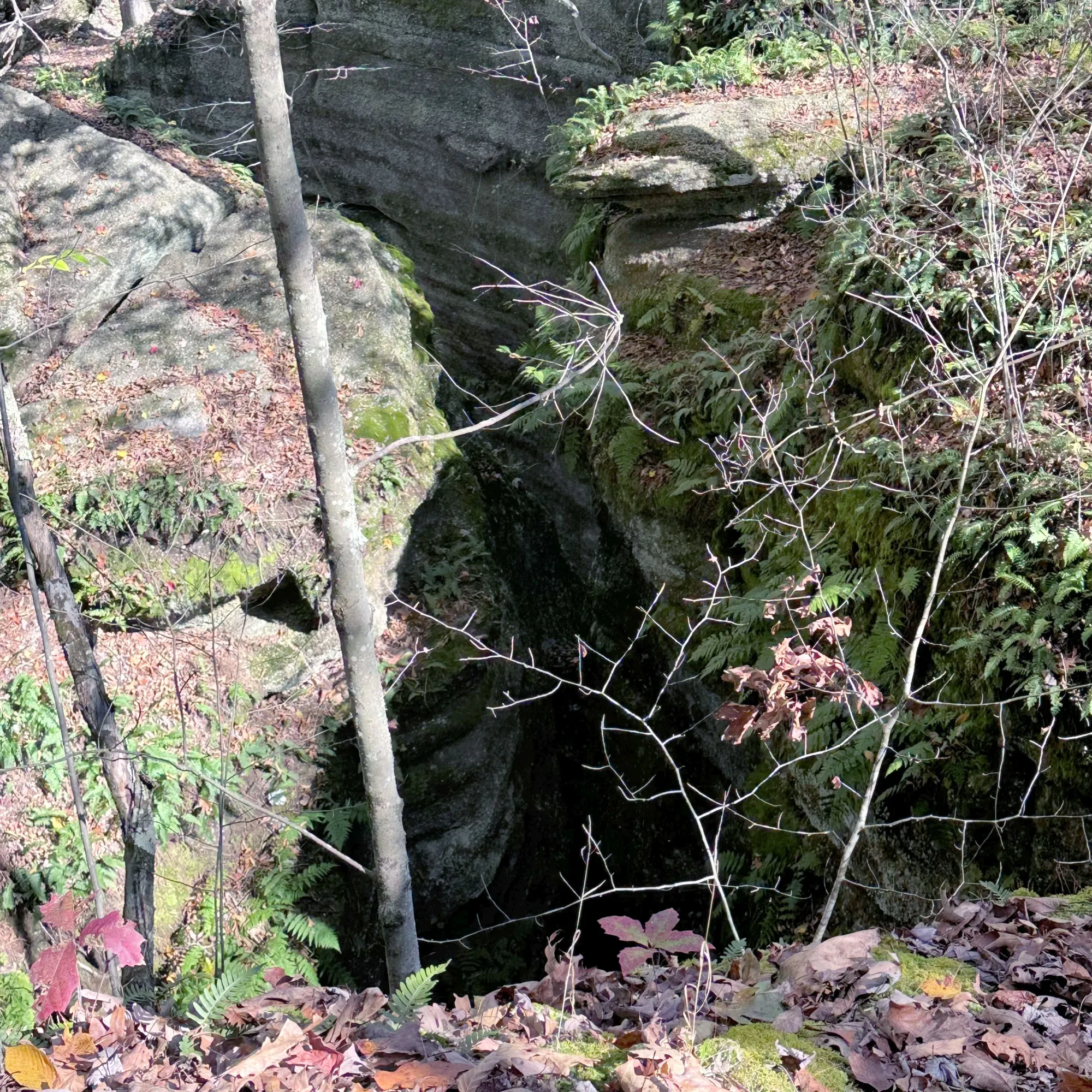
Devil’s Icebox
One of the park’s most fascinating natural features.
- A deep crevice that traps cold air
- Historically reported to hold ice well into summer
- Cool temperatures even on hot days—hence the “devil” nickname
Minnehaha Falls
Small seasonal waterfall
- Late winter through spring, or after heavy rains
- ~15–20 feet (varies with rainfall)
- Often just a trickle (or totally dry) in midsummer
- The name “Minnehaha” comes from a Dakota word meaning “laughing water”—a 19th-century poetic favorite, not a Native name specific to Ohio
Where is Nelson-Kennedy Ledges State Park Located?
- Nelson-Kennedy Ledges State Park is in Portage County in northeastern Ohio.
- Located at 12440 OH-282, Garrettsville, OH 44231, it’s technically in Nelson Township, just outside the Garrettsville postal area.
- It is about 45 miles east of Cleveland, it’s easy to reach via U.S. Route 422 or State Route 305 to State Route 282.
- The park is day-use only (open dawn to dusk) with no entrance fee (all Ohio state parks are free).
- About 3 miles of main hiking trails are available, with trail difficulty ranging from easy to very rugged and involving rock scrambles.
- The park’s trails vary from easy scenic loops to rugged and challenging rock scrambles.
Trail System Overview
Trails are marked with colored blazes on trees and rocks to guide hikers.
| Trail Name | Approx Length | Difficulty | Notes / Features |
|---|---|---|---|
| White Trail | ~0.4–1.0 miles (short loop) | Easy | Scenic loop to Minnehaha Falls, park’s easiest trail (good for families). |
| Yellow Trail | ~0.2–0.75 miles | Moderate | Passes Cascade Falls, narrow ledges and groves. |
| Blue Trail | ~0.75–0.8 miles | Moderate | Runs along the base of cliffs, includes rock features like Devil’s Icebox. |
| Red Trail | ~0.2–0.5 miles | Difficult / Extreme | Short but most challenging, with tight rock squeezes and climbs. |
| Looped Trail System | ~≈3 miles total main trails | Varied | Combined network for multiple routes and experiences. |
| Nelson’s Ledges Loop (AllTrails) | ~1.4 miles loop | Moderate | Reviewers rate this loop moderate; route may combine segments. |
Difficulty Levels Defined
- Easy (White): Good for most hikers, mostly level terrain and scenic viewpoints.
- Moderate (Yellow/Blue): Uneven ground, some climbing and roots/rocks.
- Difficult/Extreme (Red): Narrow passages, rock scrambling, requires sure footing and agility.
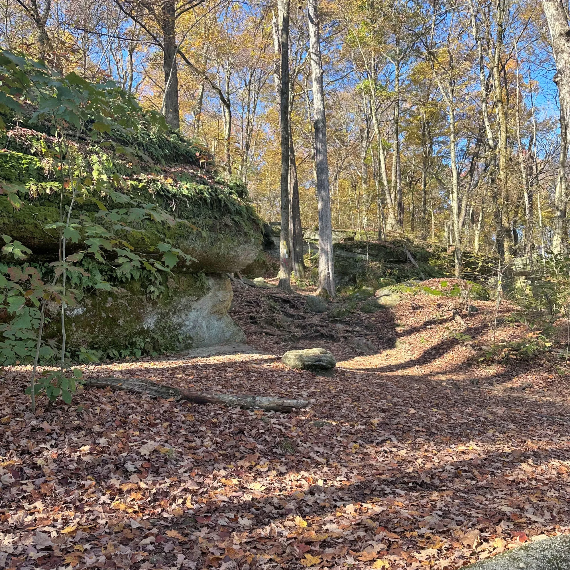
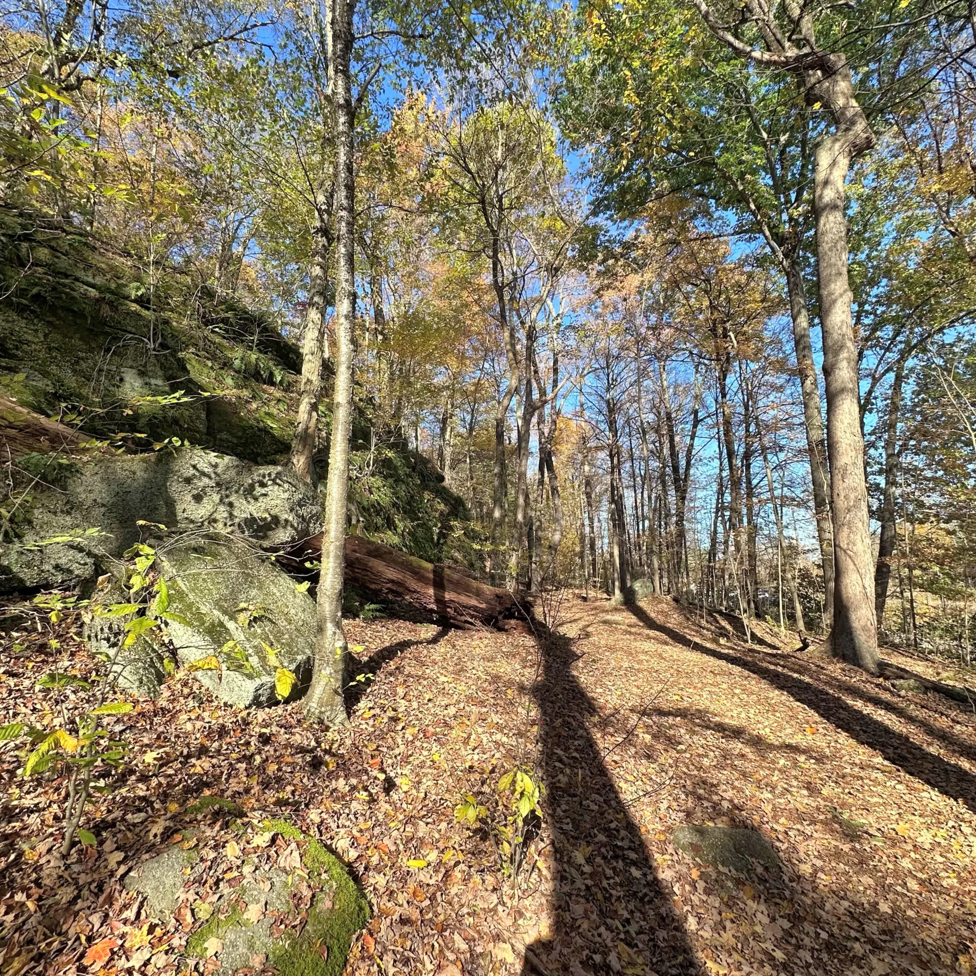
Trails are not highly formalized or paved—many are natural and rugged. The area has deep fissures and cliffs, so caution is important; night hiking isn’t recommended. Because of steep rocky sections and deep crevices, stay on marked trails and wear good footwear.
Historical Information
Indigenous Presence (Pre-1800s) The ledges were used by Native American peoples for shelter and for hunting and travel corridors. Tribes associated with the region include: Erie, Wyandot, Delaware (Lenape). While no large permanent villages are documented directly at the ledges, archaeological evidence shows regional seasonal use.
Early Settlement
In the early 19th century, European American settlers arrived, and by 1818, the nearby village of Nelson was founded. The striking rock formations, soon called Nelson Ledges, became well-known for their scenic beauty and unique character.
Late 1800s–1900s
Before it became a state park, the land that’s now the Nelson Ledges area was owned by the Industrial Silica Company.
For decades, much of the land remained in private hands. Unlike other sandstone regions, large-scale quarrying never really took off, likely because of the difficult access, the rock’s scenic rather than industrial appeal, and growing efforts by local citizens and nature advocates to push for its preservation.
The State of Ohio bought that property around 1920, then picked up more nearby land in the 1940s, eventually creating what is now Nelson-Kennedy Ledges State Park. In 1949, the state officially combined all the parcels into the park we know today.
The site became Nelson–Kennedy Ledges State Park, named in part for:
- The nearby village of Nelson
- Early local families and landholders associated with preservation efforts
- The “Kennedy” name refers to local private landowners (the Kennedy family) whose property included part of the ledge system before state acquisition—not to a national political family and not to a single famous individual.
Naming Convention
- Preserves the layered land-use history
- Signals that conservation came after private ownership
- Aligns with Ohio’s pattern (e.g., Conkles Hollow, Rockbridge, Cantwell Cliffs)
Conclusion
I didn't get to visit this state park yet. My mother-in-law and her friend visited it the fall of 2025. My mother-in-law is 90 and her friend is in her mid-eighties. They did the difficult trails and had a really good time. They said it was beautiful. I hope I can go this year.