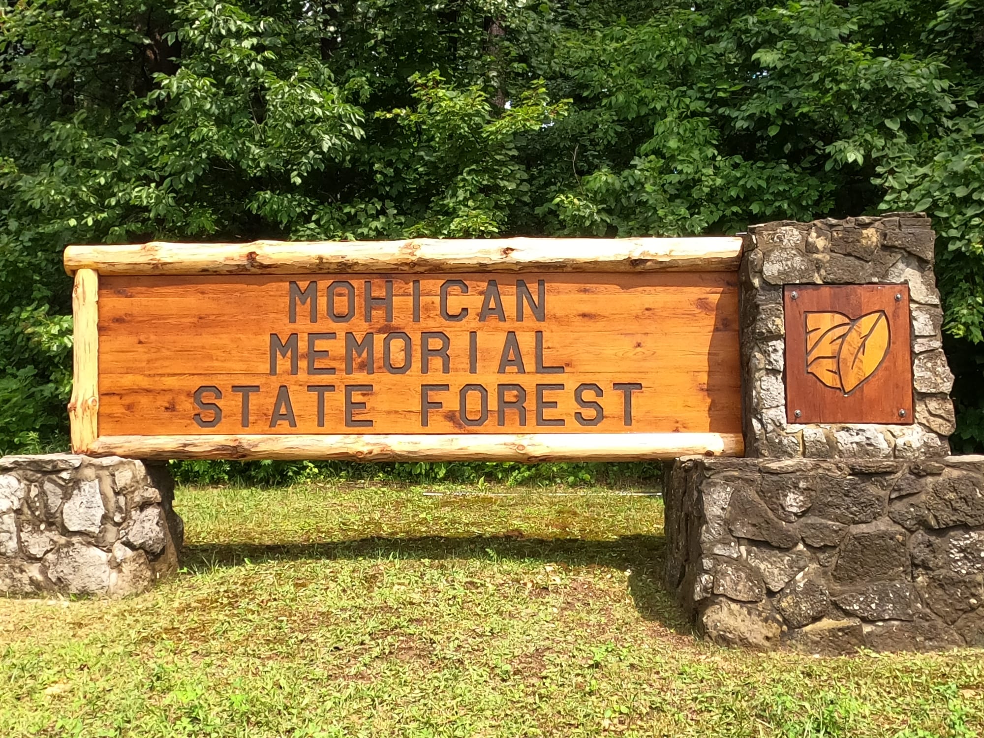
Mohican-Memorial State Forest and State Park
Trail Map
Interactive map showing the trail route for Mohican-Memorial State Forest and State Park. The map displays topographic information and trail markers.
Elevation Profile
Elevation data not available for this trail.
Chart showing elevation changes along the trail distance. Hover or focus on the chart to see specific elevation values at each point.
Mohican State Park is a 1,110-acre public recreation area located on the south shore of Pleasant Hill Lake, five miles south of Loudonville in Ashland County, Ohio. The Mohican State Parks is located along Ohio SR3 and Ohio SR97 and is surrounded by the 4,525-acre Mohican-Memorial State Forest. The Clear Fork of the Mohican River flows through the park carving a narrow gorge and joins the Black Fork about a half mile east of the park to form the Mohican River. The park is open for year-round recreation including camping, hiking, boating, mountain biking, fishing, and picnicking.
Address:
3116 State Route 3, Loudonville OH 44842
Phone:
419-994-5125
Open 24 hours
History
In 1949, when the Ohio Department of Natural Resources (ODNR) was created, Mohican and several other state parks were developed from existing state forests. The park was created from Ohio Division of Forestry lands. Prior to 1949, most of the area that comprises the present state park was part of Mohican State Forest. The new park was named Clear Fork State Park. In 1966, the name of the park was changed to Mohican to alleviate confusion between Clear Fork Reservoir in Mansfield, Ohio and the state park. Even before the official name change, visitors referred to the area as Mohican.
Mohican People
The area was originally inhabited by Native American tribes, including the Mohican people, who were part of the larger Algonquian-speaking tribes. The park's name is derived from these Native American roots.
The Mohican State Park area was once the hunting grounds of the Delaware Native Americans, whose more famous warriors included Janacake, Bill Montour, Thomas Lyon, and James Smith. Smith was the first white man to come to this area after he was captured by the Native Americans and later adopted into their tribe. Several Delaware villages were also located in the Mohican vicinity.
European Settlers
European settlers began arriving at the turn of the 19th century, but settlement did not increase until the Native Americans were driven from the area after the War of 1812. The area around the park was known for its dense forests, which attracted loggers and settlers.
Johnny Appleseed
John Chapman, immortalized as Johnny Appleseed, frequented the region during the 1800s, caring for his apple tree nurseries. His name and the date, carved into the wall of Lyons Falls, were an attraction for years. Unfortunately, the etchings have been worn away over time.
Civilian Conservation Corps
The land's natural beauty and recreational potential were recognized in the 1930s, when the Civilian Conservation Corps (CCC) played a crucial role in developing the park. The CCC worked on infrastructure such as trails, roads, and buildings, many of which still in use by visitors today.
Mohican Park Map
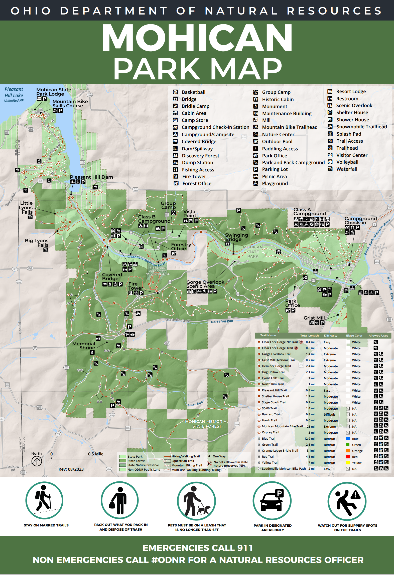
Some Noted Trails and Lengths
Mohican State Park offers a variety of trails for hiking, biking, and exploring, each with its unique features:
- Boulder Trail
- Length: 3.4 miles
- Description: This trail takes you through some of the park’s most rugged terrain, featuring large boulders and scenic views. It’s a moderately challenging hike with steep sections and uneven footing.
- Hemlock Gorge Trail
- Length: 1.5 miles
- Description: A relatively short trail, Hemlock Gorge Trail meanders through a picturesque gorge and along the Clear Fork River. It’s a great choice for a more relaxed hike, offering beautiful views of the river and forest.
- Mohican Mountain Bike Trail
- Length: 12 miles (loop)
- Description: This trail is designed for mountain biking and offers a range of difficulty levels. It includes various loops and technical sections for bikers looking for a challenging ride.
- North Loop Trail
- Length: 2.6 miles
- Description: This trail provides a relatively easy hike with some nice views and is often used to connect with other trails in the park.
- Clear Fork Gorge Trail
- Length: 2.5 miles
- Description: Running alongside the Clear Fork of the Mohican River, this trail features scenic overlooks and opportunities to spot wildlife. It’s a moderate trail with some gentle inclines.
- Fire Tower Trail
- Length: 0.8 miles
- Description: This short but steep trail leads to the park’s historic fire tower, which offers panoramic views of the surrounding area. It’s a rewarding hike with a great vista at the top.
- Big Tree Trail
- Length: 1 mile
- Description: As the name suggests, this trail showcases some of the park’s impressive old-growth trees. It’s a relatively easy hike, ideal for a leisurely walk among the giants of the forest.
Other Information
Camping:
There are three separate camping areas at Mohican State Park:
the Class A Campground
the Class B Campground
the Group Camp Area.
Several types of cabins are located near the Class A Campground.
There is also the Mohican Resort and Conference Center, built in 1974 and operated by Xanterra Parks and Resorts.
And TREEHOUSES to rent!
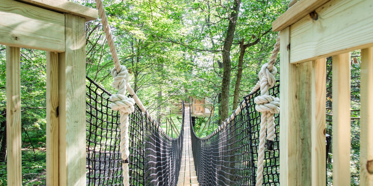
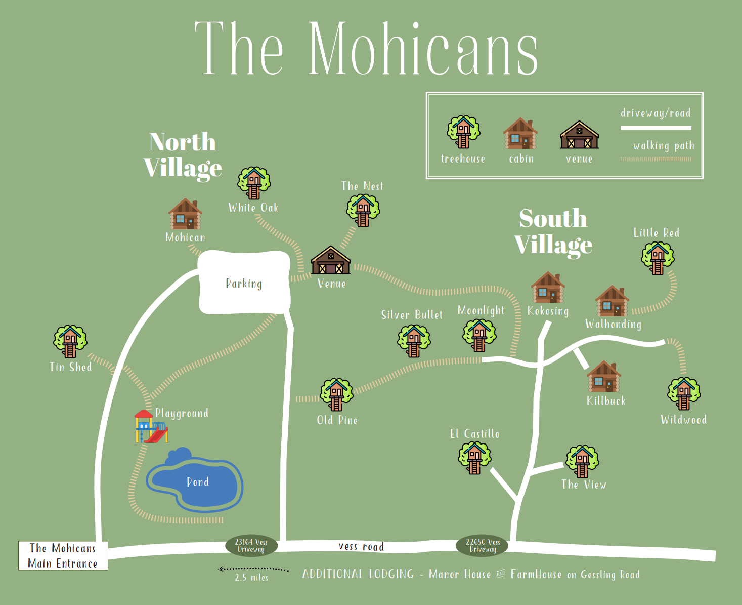
Natural Features:
Mohican State Park’s natural features can be attributed to events that occurred more than 14,000 years ago during the ice age in Ohio. The last glaciers to enter Ohio, the Wisconsinan, ended their advance in the Mohican region.
The erosional forces of glacial meltwaters hastened the carving of the narrow Clear Fork Gorge. This gorge cuts into sandstone bedrock, creating steep cliff walls and bedrock outcroppings. The gorge is more than 1,000 feet wide at the top and more than 300 feet deep. The gorge’s towering hemlocks and stands of old-growth white pine, are of national significance. The National Park Service has dedicated the area as a Registered National Natural Landmark.
The Mohican-Memorial State Forest surrounds the park and harbors great plant and animal diversity. Ridge tops contain stands of white, red and black oaks, red maple and white pine trees. Beech, ash, and tulip trees can be found in the middle and lower slopes along with hemlock and yellow birch. The bottomland forest contains sycamore, willow, buckeye, hawthorn and dogwood trees. The diversity of ferns in this region is astounding, with as many as 15 different species identified, including the rare walking fern.
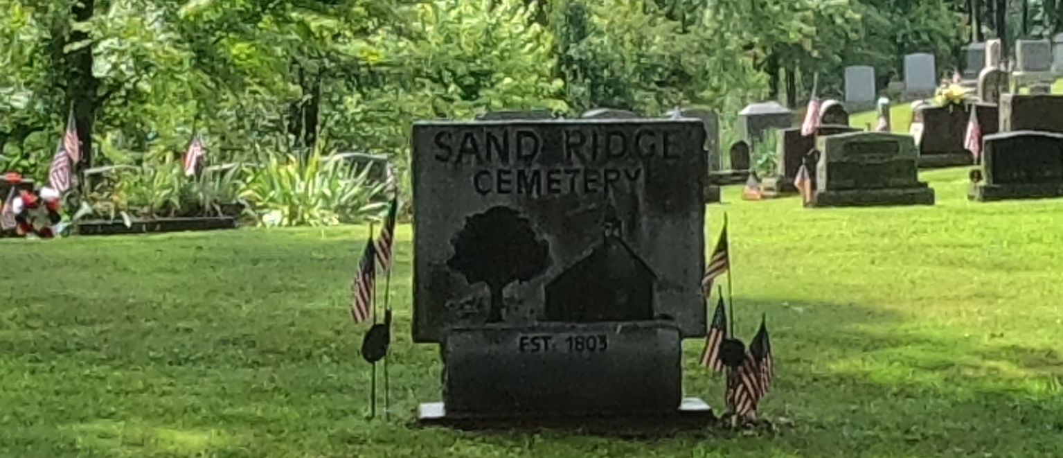
Sand Ridge Cemetery
Sand Ridge Cemetery is located in Sand Ridge, Ohio, a rural area with a rich history connected to early settlers and the development of local communities:
- Early Settlers: The cemetery serves as the final resting place for many of the early settlers who established their homes and farms in the Sand Ridge area in the 19th century. These early pioneers were crucial in developing the region’s agricultural base and social structure.
- Historical Significance: The cemetery provides a historical record of the people who lived in the area, with gravestones often marking significant historical events, such as early deaths due to disease or accidents, and highlighting the families who shaped the community.
- Preservation: Many of the gravestones date back to the 1800s, offering valuable insights into the local history and the lives of the people buried there. Preservation efforts are important to maintain the integrity of these historical markers.
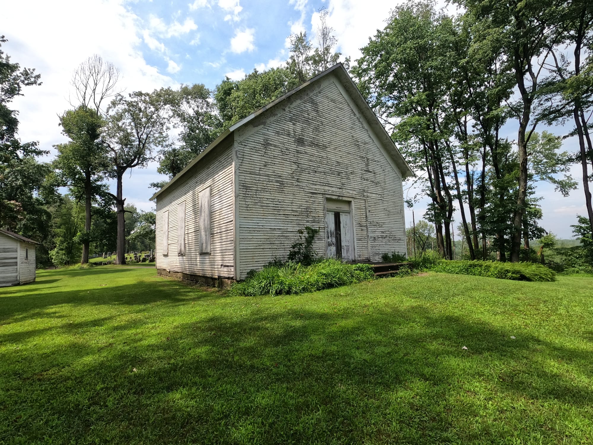
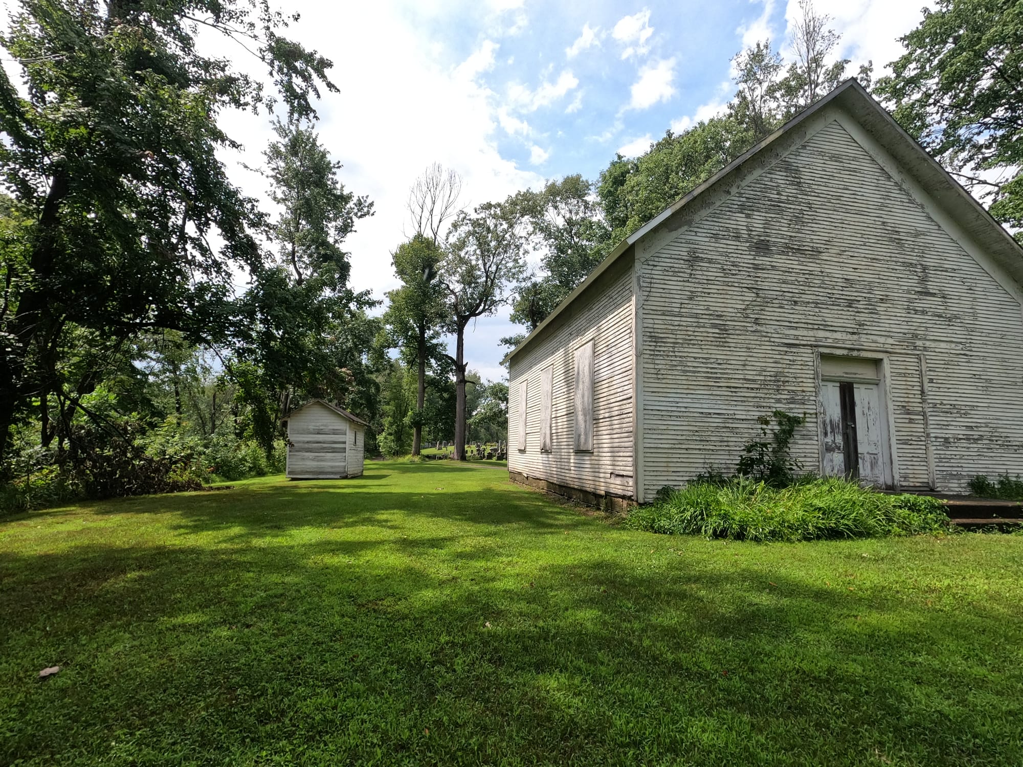
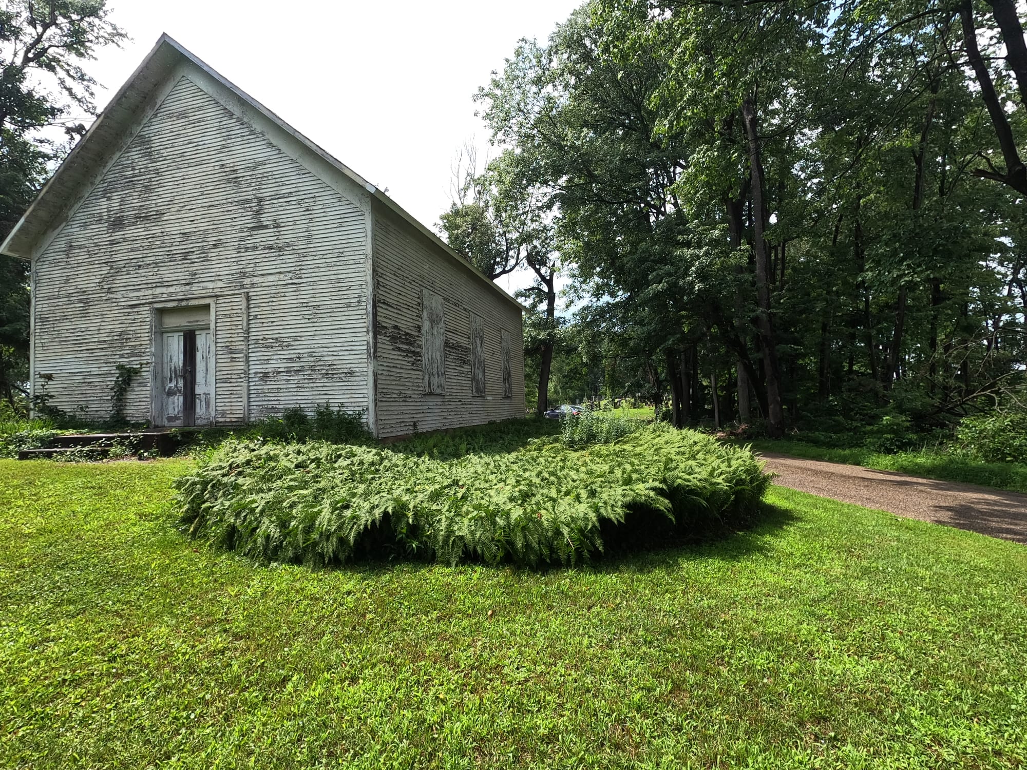
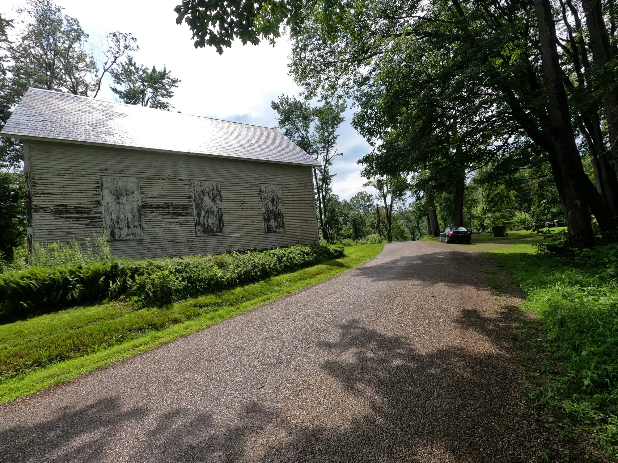
Sand Ridge Church
Sand Ridge Church (often referred to as Sand Ridge Presbyterian Church or a similar name depending on the denomination) is closely associated with the cemetery and shares a deep connection to the community’s history:
- Establishment: Sand Ridge Church was established in the early 19th century to serve the spiritual needs of the growing community of settlers. Churches like Sand Ridge were central to rural life, providing a place for worship, community meetings, and social events.
- Architectural Features: The church’s architecture likely reflects the style and design preferences of the period, with simple, functional structures that were common in rural Ohio during the 1800s. Over time, the church may have undergone renovations or expansions to accommodate the needs of the congregation.
- Settlement Era: The area around Sand Ridge was settled primarily during the early 1800s as part of the westward expansion in the United States. The establishment of cemeteries and churches was a common practice for settlers establishing new communities.
Ohio Memorial Shrine
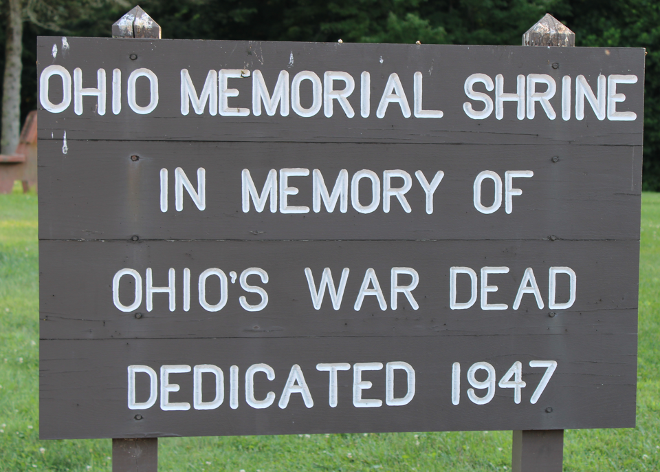
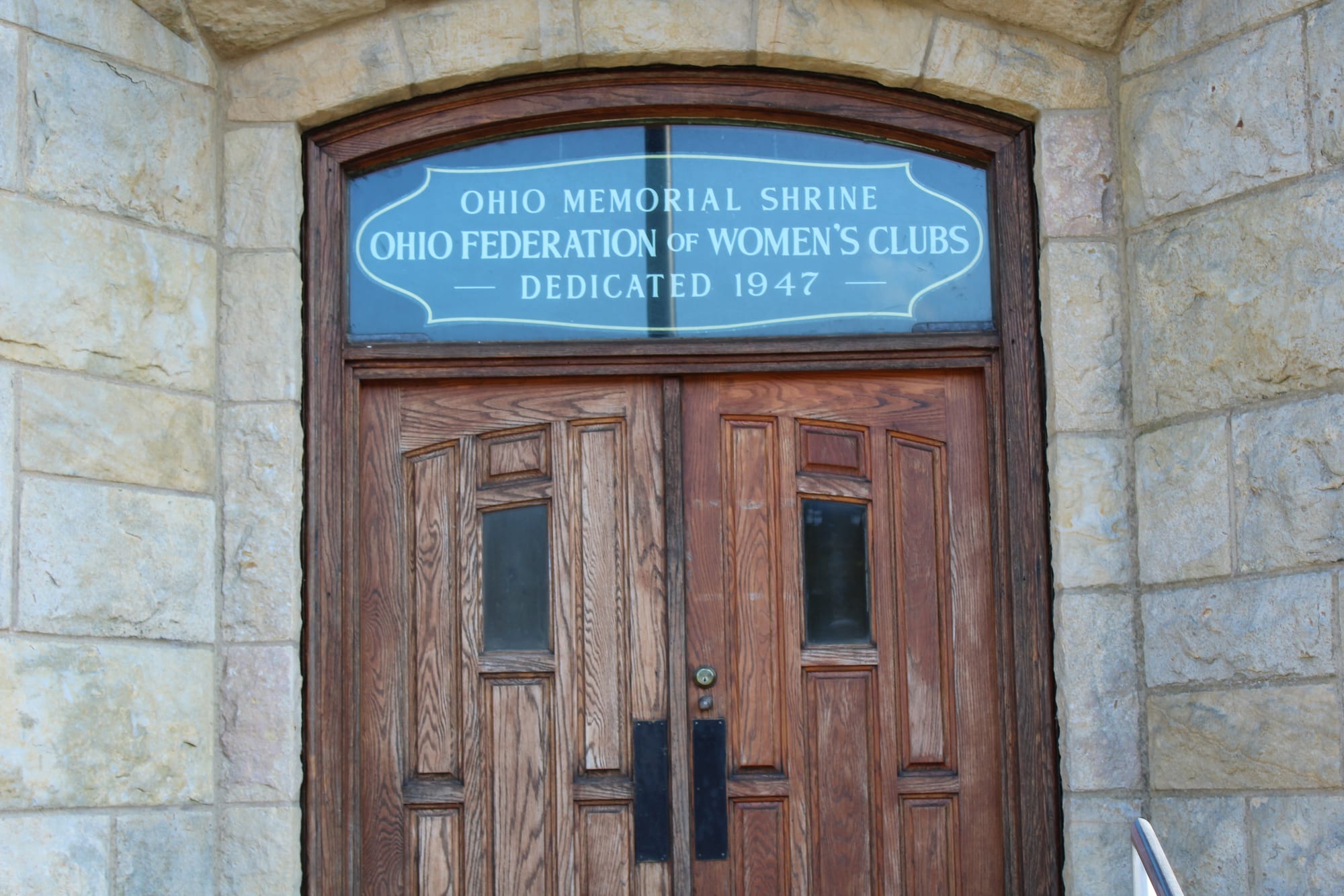
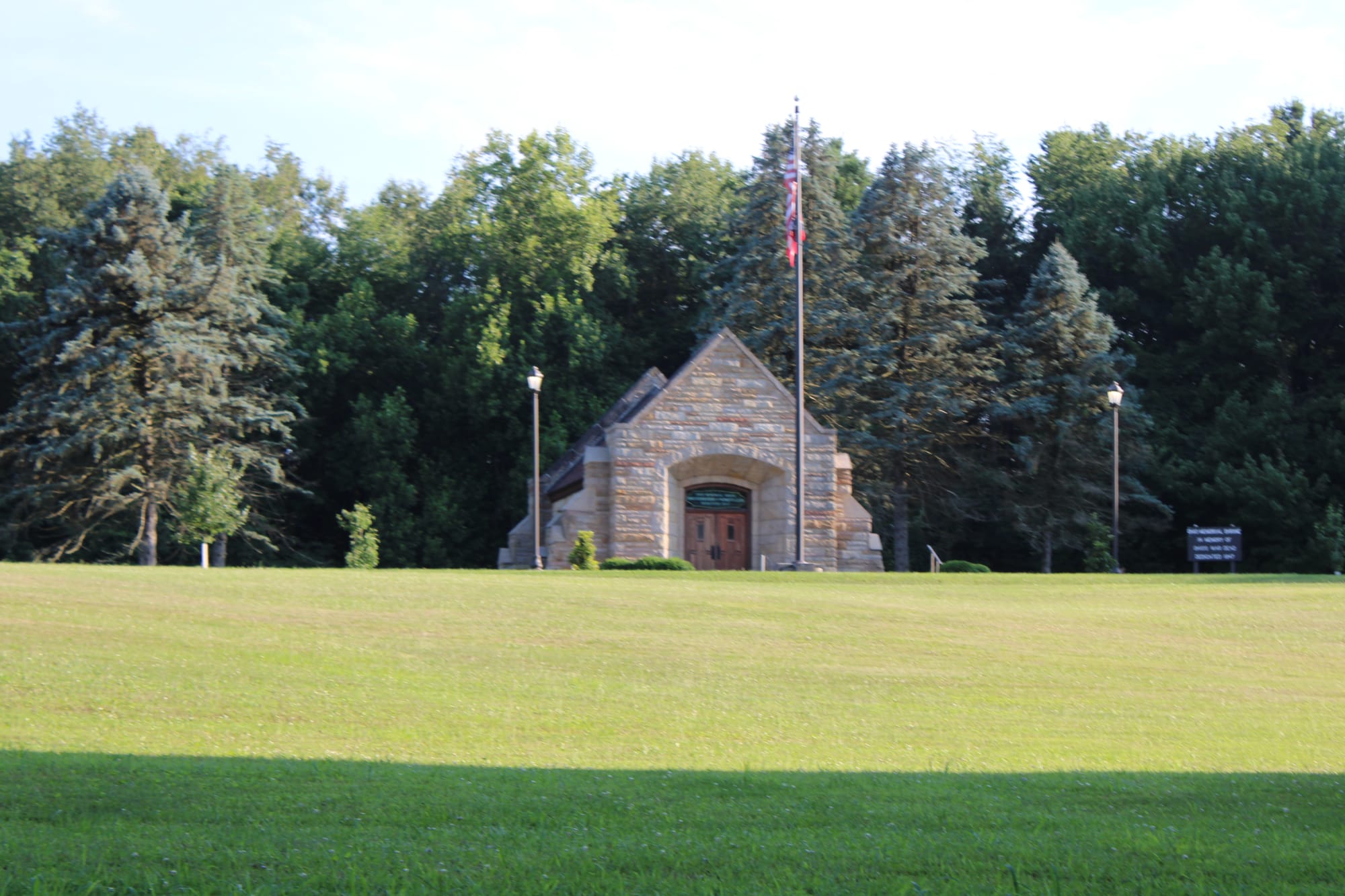
In the Mohican-Memorial State Forest in Ashland County is a place where families, friends and ordinary citizens can pause to reflect on Ohioans killed in World War II, the Korean War, the Vietnam War, the Persian Gulf War, and the Afghanistan and Iraq operations. The Mohican-Memorial Shrine is the state's official monument to her nearly 20,000 sons and daughters who died in those conflicts.
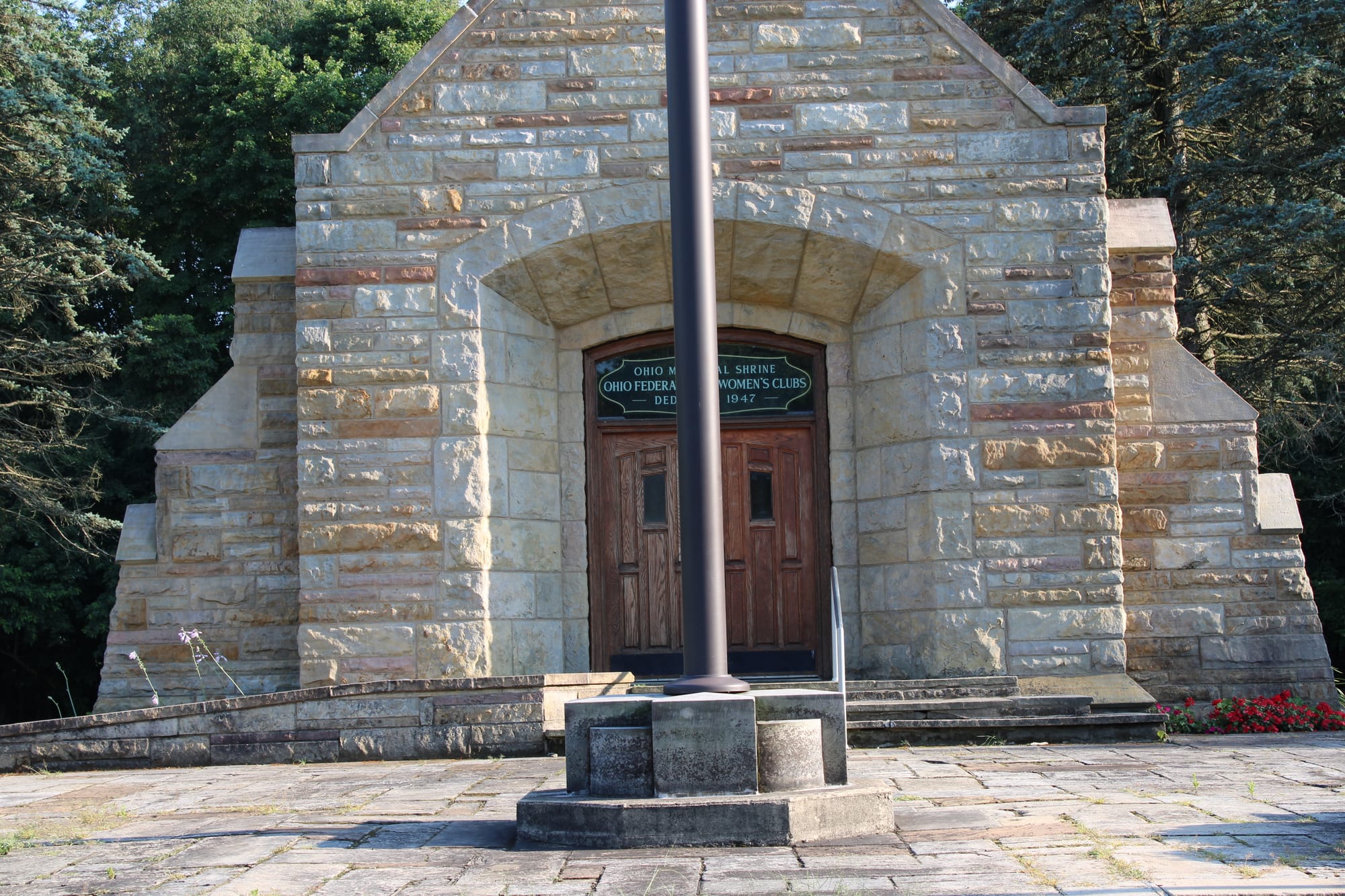
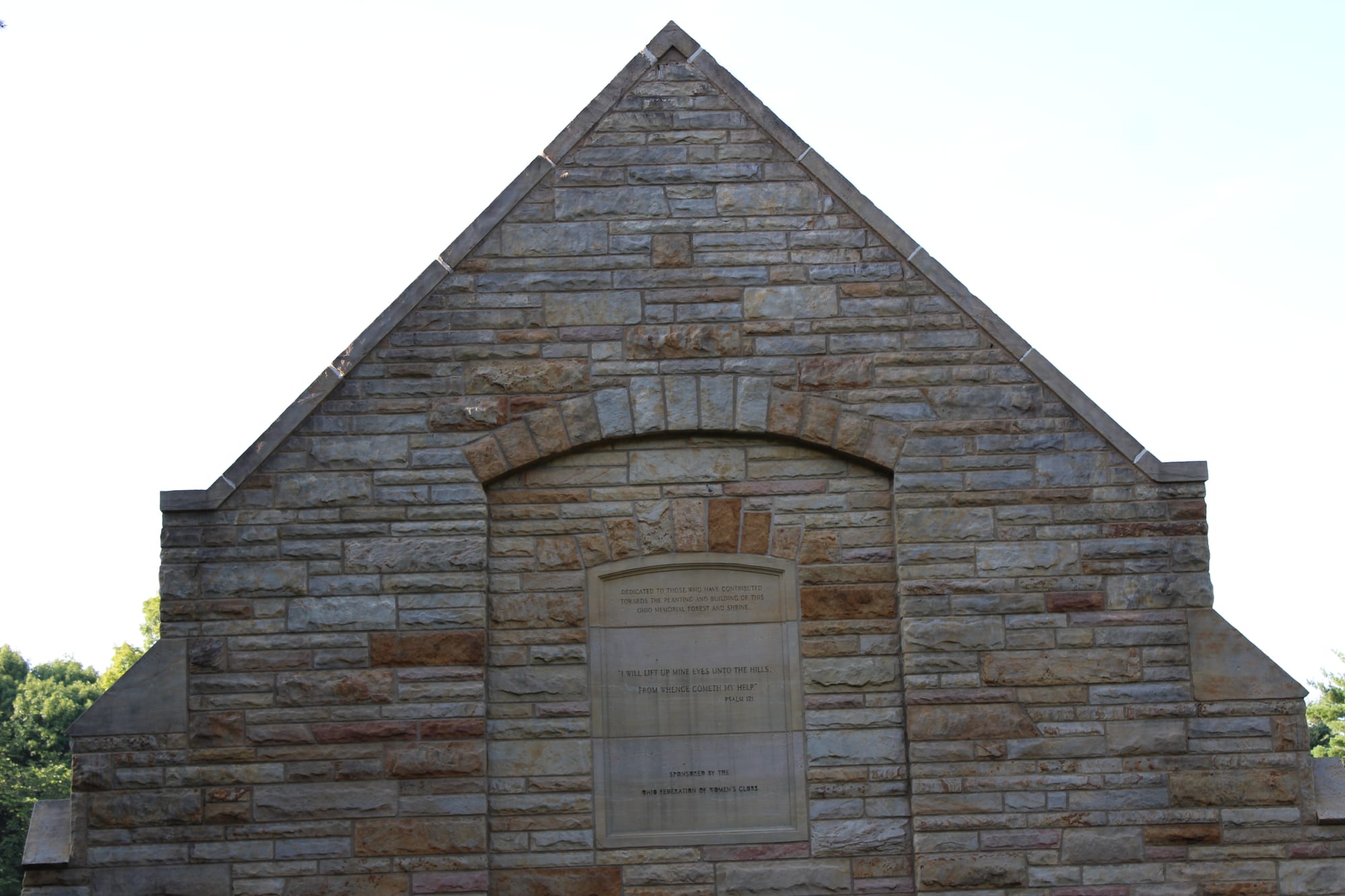
A joint initiative of ODNR and the Ohio Federation of Women's Clubs, the Mohican-Memorial Shrine was completed in 1947. It is maintained by the ODNR Division of Forestry, which also oversees the surrounding 270-acre memorial forest and 4,525-acre state forest.
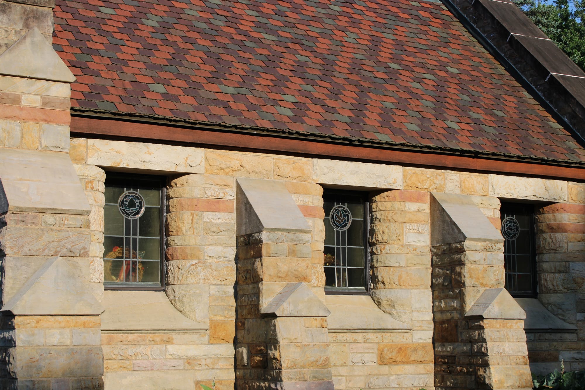
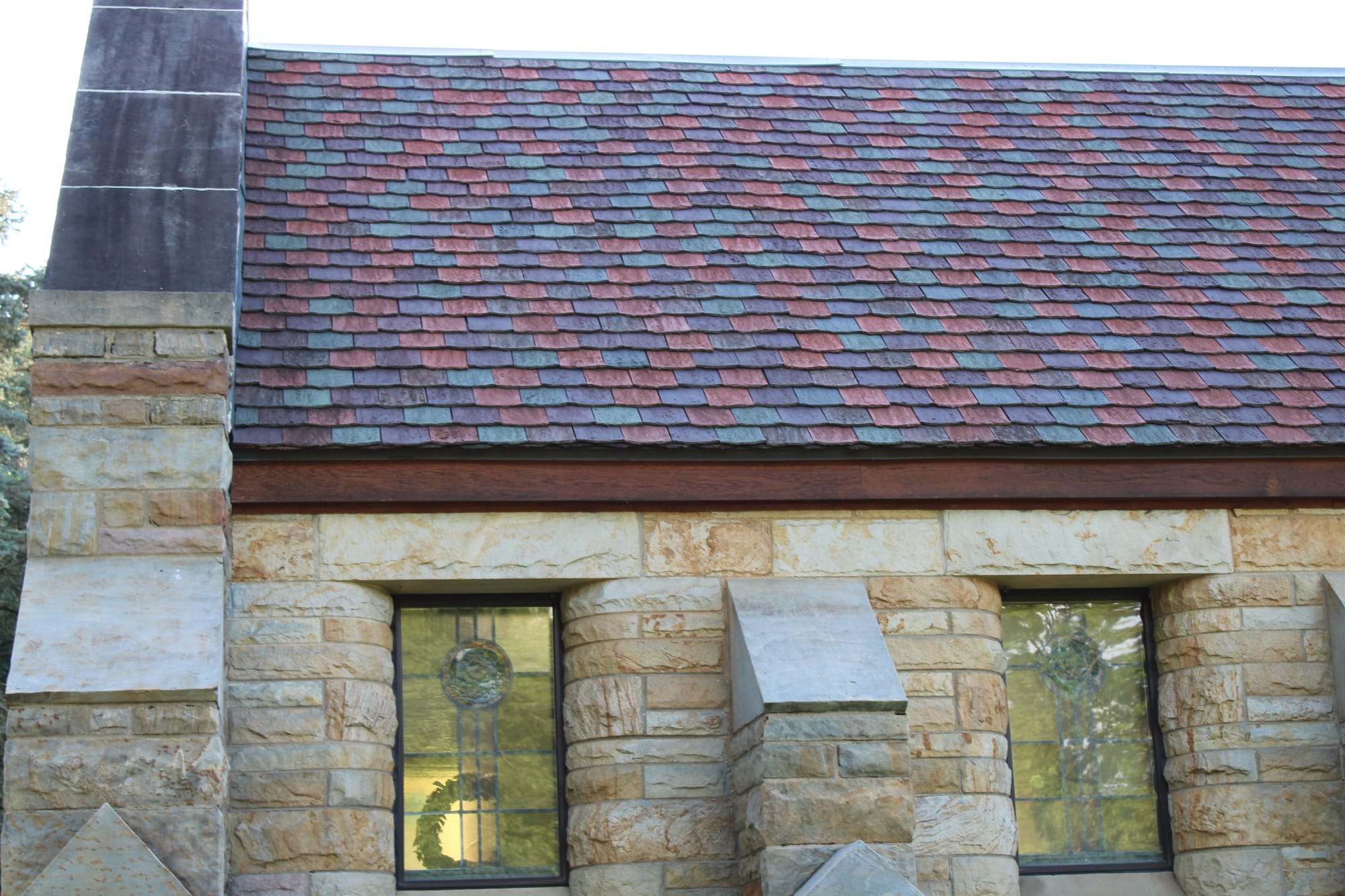
More than 60,000 Women's Club members from all over the state worked two years to raise the construction funds. Legislation required that all materials and companies involved in the construction be native to Ohio. Roof timbers were hewn from state forest trees. The native Ohio sandstone blocks came from a nearby quarry. Roof tiles were manufactured in New Lexington and floor tiles in Zanesville. A Columbus art glass studio created the shrine's six stained-glass windows, which depict peace doves with olive branches, as well as red cardinals (the state bird) and buckeye trees (the state tree). Two wood-bound books containing the hand-lettered names of 20,000 Ohio war dead are preserved in a glass case within the shrine's grotto.
Conclusion:
Whether you're looking for a strenuous hike or a peaceful walk, Mohican State Park provides a range of trails suited to different preferences and skill levels. We love to hike there!
If you have any questions or have something to add, please let us know.

