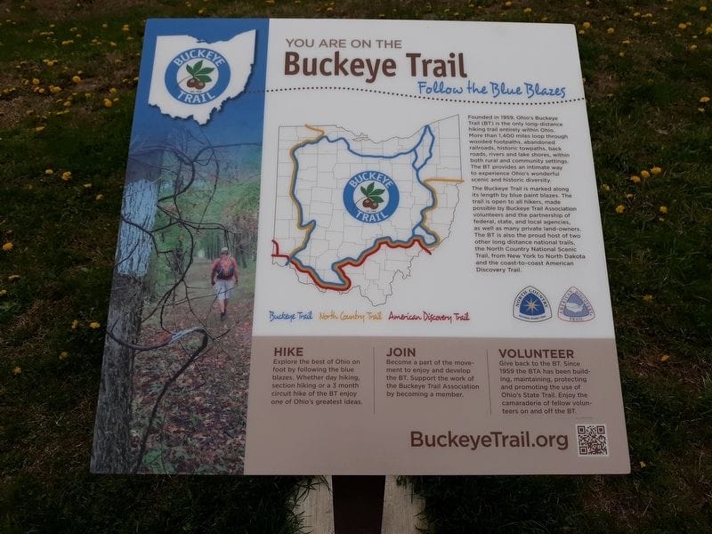
Buckeye Trail: Ohio's Premier Long-Distance Hike
The Buckeye Trail is a gem nestled in the heart of Ohio, weaving its way through diverse landscapes, historical sites, and natural wonders.
The Buckeye Trail was conceived in the early 1950s by Clarence "Johnny" Appleseed Miller, who envisioned a continuous loop trail encircling the state of Ohio. His dream was to create a pathway for people to connect with nature, appreciate Ohio's beauty, and foster a sense of community among hikers.
With determination and support from fellow outdoor enthusiasts, Miller's vision became a reality.
The Buckeye Trail Association (BTA)
In 1958, Merrill Gilfillan proposed a trail from Cincinnati to Lake Erie. In June 1959 they formed The Buckeye Trail Association (BTA). The trail eventually spanned over 1,444 miles across Ohio, completed in 1980.
Blue blazes — Buckeye Trail Association
The trail is identified by blue blazes, 2" wide by 6" high, on trees or poles.
Overview map — official BTA maps
Sections to click and discover
- Overview
- Akron
- Bedford
- Belle Valley
- Bowerston
- Burton
- Caesar Creek
- Defiance
- Delphos
- Loveland
- Massillon
- Medina
- Mogadore
- New Straitsville
- Norwalk
- Old Man's Cave
- Pemberville
- Road Fork
- St. Marys
- Scioto Trail
- Shawnee
- Sinking Spring
- Stockport
- Troy
- West Union
- Whipple
- Williamsburg
Maintaining the Trail
Hiker usage of the different sections of the Buckeye Trail can vary greatly. Park systems and trail adopters share maintenance.
Old Man's Cave Section Personal Experience
I have spent a lot of time hiking the Buckeye Trail located in Old Man's Cave. It is one of my favorite hikes.
Zaleski State Forest Section Personal Experience
Zaleski State Forest offers the Zaleski Backpack Trail (about 28 miles) and other loops.
Check out the Buckeye Trail and its Sections. You won't be sorry!
hiking
More in
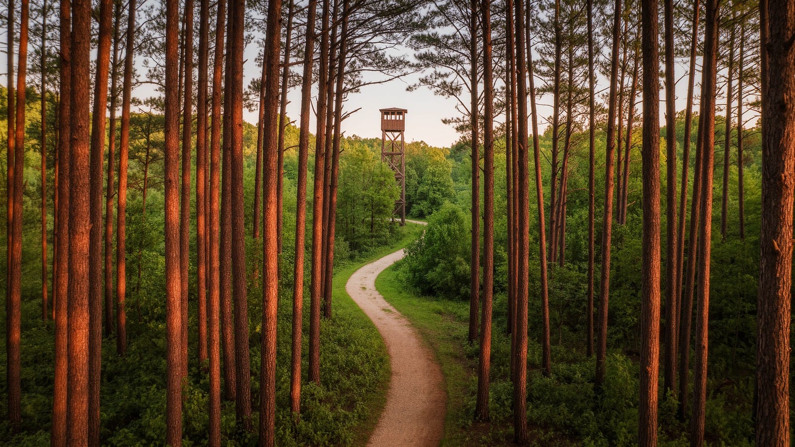
Tar Hollow State Park: Fire Tower Views and Remote Ridge Trails
Tar Hollow State Park is one of Ohio's most remote hikes: a climbable fire tower, the 15-mile Logan Trail, and miles of quiet ridge-and-hollow forest.
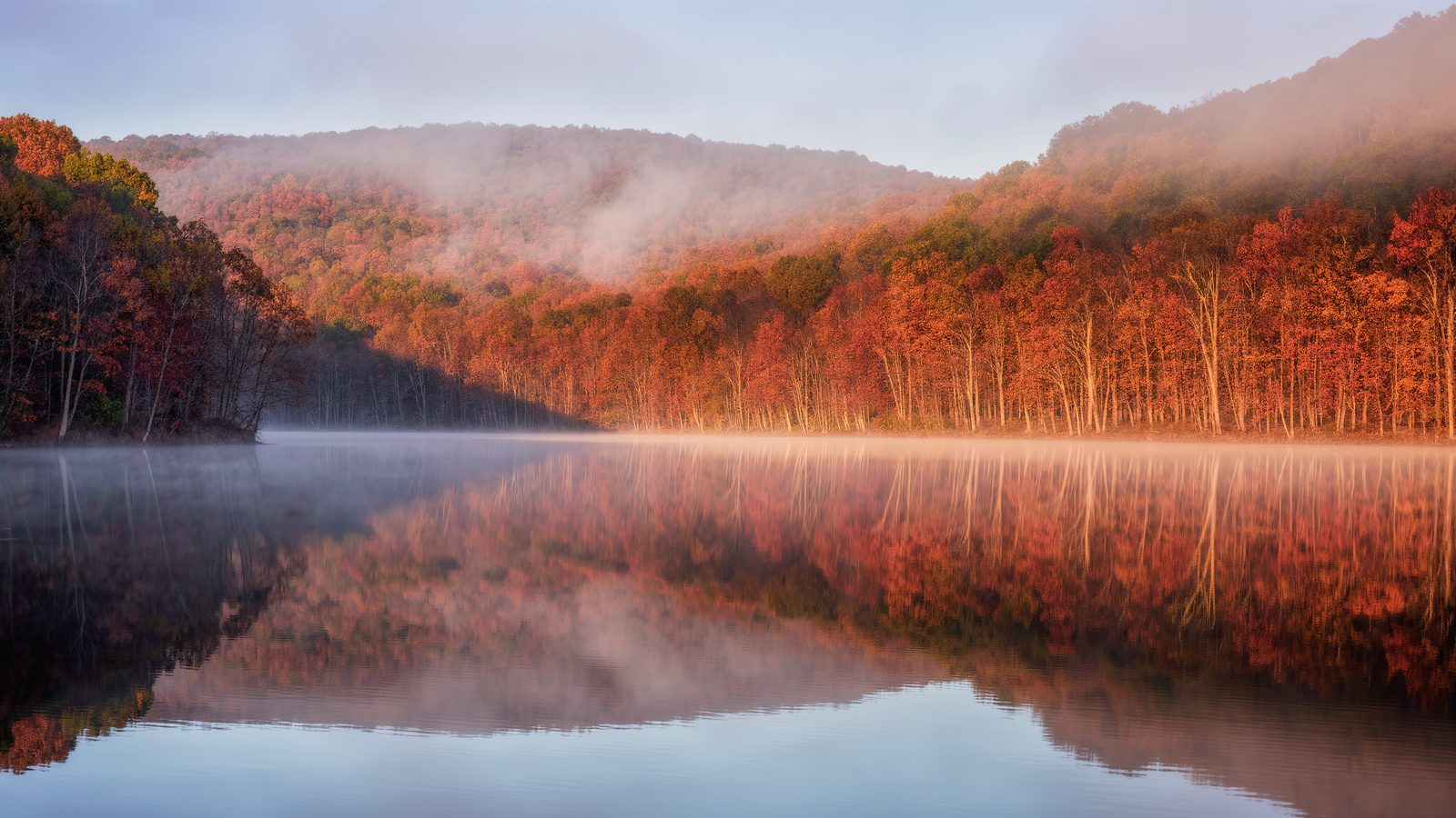
Lake Hope State Park: Iron Furnace Ruins and Deep Forest
Lake Hope State Park in remote Vinton County: a quiet forest lake, the 1850s Hope Furnace ruins, a ghost town, dark night skies, and legendary Ohio fall color.
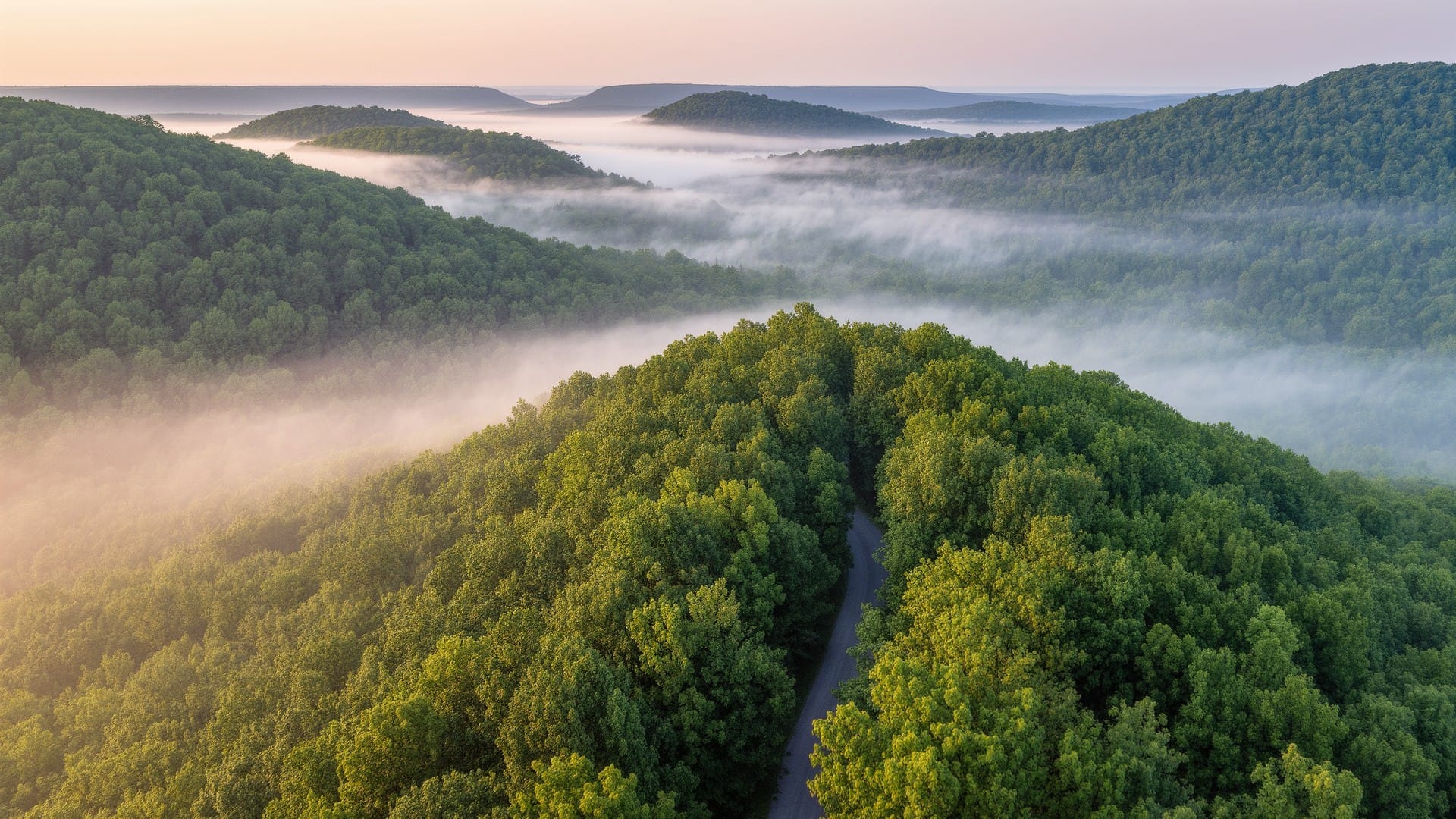
Wayne National Forest: Ohio's Only National Forest
Wayne National Forest is Ohio's only national forest: 240,000+ acres of Appalachian foothills, 300 miles of trails, solitude, and historic iron furnaces.