Tar Hollow State Park: Fire Tower Views and Remote Ridge Trails
Some parks you visit for the marquee waterfall. Tar Hollow you visit for the quiet. This is one of Ohio's most remote state parks, buried in the hills where Ross, Vinton, and Hocking counties fold together. The state park itself is about 604 acres of land plus ~15-acre Pine Lake (as of September 2026, ODNR), wrapped inside the much larger ~16,000-acre Tar Hollow State Forest. I've hiked here on a Saturday in October and passed exactly two other people all day. If your idea of a good hike involves a ridgeline, a fire tower, and the feeling that you've driven off the edge of the map, Tar Hollow is your place.
The name tells you something about the land. Early settlers came into these hollows to tap the pitch pines that grow on the dry ridges, boiling the resinous wood down into pine tar for waterproofing wagon axles and boots. That homestead-era grit still hangs over the place. In the 1930s the Civilian Conservation Corps moved in, planting pine, cutting trails, and building the infrastructure that became the park and forest we hike today. You can feel all of it out there — the old settler hollows, the ruler-straight rows of CCC pines, the fire tower on the ridge keeping watch over the whole rugged sweep of it.
Tar Hollow is a hiker's and backpacker's park more than a day-tripper's park. There's a small lake, a campground, and a fire tower you can climb, but the real draw is miles of ridge-and-hollow trail through some of the least-developed forest in the state. Come ready to work, and come ready to be alone with the woods.
Tar Hollow State Park — Trail Snapshot
Location: Ross and Vinton counties, near Laurelville and Londonderry
Signature route: The Logan Trail backpacking loop
Distance: Logan Trail runs about 15–16 miles; shorter day loops available
Elevation: Constant ridge-and-hollow climbs; several hundred feet per climb
Difficulty: Moderate to hard, depending on how far you go
Highlights: Brush Ridge fire tower, Pine Lake, CCC pine plantations
Best seasons: Spring wildflowers and fall color; year-round hiking
Admission: Free (Ohio State Parks)
Getting There
Visitor info (as of September 2026, ODNR): 16396 Tar Hollow Road, Laurelville, OH 43135; park office (740) 887-4818 (typically 8 a.m.–5 p.m. Monday–Friday); park hours typically 6 a.m.–11 p.m. daily. Confirm alerts on the ODNR Tar Hollow State Park page (property URL intermittently 404'd from this runner — re-verify at Ghost push).
Tar Hollow sits south of Laurelville, reached by a long, winding drive on State Route 327 and the forest roads that branch off it. From Columbus it's about an hour and fifteen minutes south; from Chillicothe, a shorter run southeast. However you come, the last stretch is a slow, curvy climb into the hills, so give yourself extra time and enjoy it — the drive in is genuinely pretty.
The park has several access points. The main day-use and campground area sits near Pine Lake, and there's a trailhead lot for the Logan Trail as well as parking near the fire tower on Brush Ridge. Admission and parking are free. This is remote country, so fuel up and grab water and snacks before you leave the highway — there's no store waiting at the trailhead. Cell service is unreliable in the hollows, so photograph the forest map at the kiosk before you start. Print maps of the Logan Trail are worth tracking down in advance if you plan to backpack the full loop.
The Trail
The crown jewel is the Logan Trail, a roughly fifteen-mile backpacking loop that circles the park through the surrounding state forest. Marked with blue blazes, it's one of Ohio's classic overnight routes, and it's built for exactly what the terrain demands: up a ridge, along the spine, down into a hollow, across a creek, and up the next ridge. There are backpack campsites along the way, so you can split it into a relaxed two-day trip. The Logan Trail also braids with shorter connector loops, which means you don't have to commit to the whole thing to get the flavor of it.
For a day hike, I usually piece together a six-to-eight-mile section using the Logan Trail plus one of the cutoffs, starting and finishing near Pine Lake or the fire tower. Whatever route you build, the character is consistent: sustained natural-surface climbing, dry oak-and-pine ridges up top, and cool, mossy, fern-lined hollows down low where little streams run in spring. The tread is dirt and rock and root the whole way — no boardwalks, no steps. After rain the low crossings get muddy, but the ridges drain fast and stay firm.
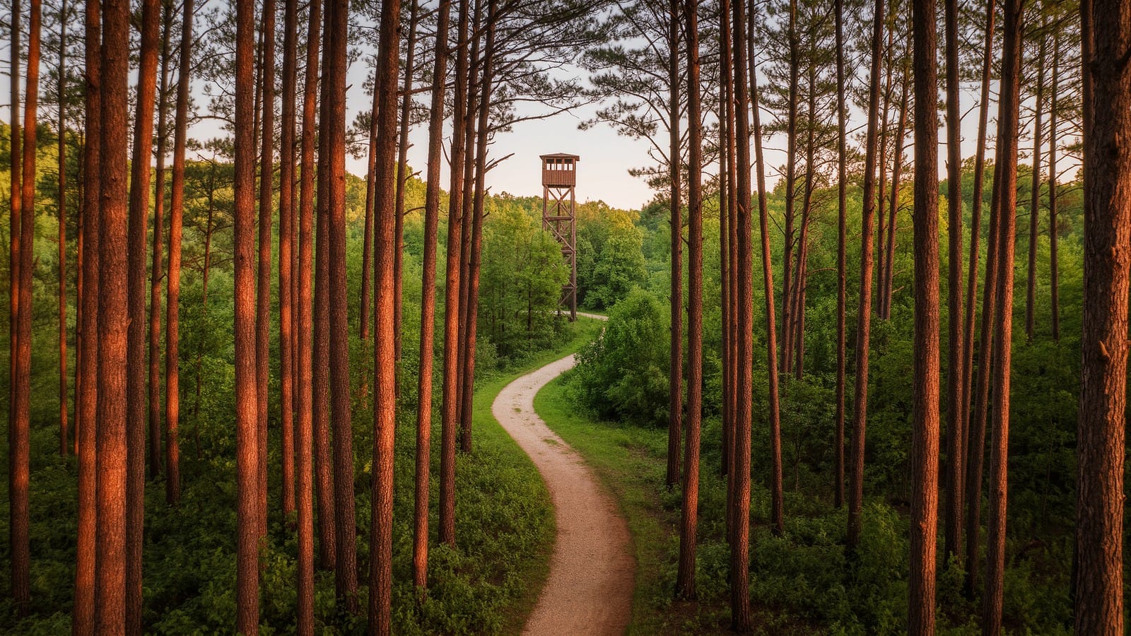
Do not skip the fire tower on Brush Ridge. It's a genuine old steel fire-lookout tower, and you can climb the stairs to the platform for a rare true panorama — an unbroken sea of forested hills rolling to the horizon in every direction, with almost no sign of development. In the whole flat middle of Ohio, viewpoints like this are precious. I've stood up there at the end of a long loop, legs aching, and just watched the light move across the ridges. It's the payoff shot of the entire park.
Down at Pine Lake, a small, quiet fishing lake anchors the developed part of the park. There are shorter, easier walking paths near the water and the campground if you're bringing kids or just want a gentler leg to bookend a bigger day. You can wet a line for bass and bluegill, launch a kayak or canoe, or just sit by the water and let a big loop settle out of your legs. But make no mistake — Tar Hollow's reputation is built on the long ridge routes, and that's what you drove all this way for.
If you're eyeing an overnight, a little planning goes a long way. The Logan Trail has designated backpack sites, but you'll want to sort out camping registration and current conditions with the park before you go, and you'll need to filter or treat your water — the hollow streams are seasonal and can run low or dry by late summer, so don't count on a reliable source on the ridges. I like to split the loop so the first day carries most of the climbing while my pack is heavy with water, then take the gentler half out in the morning. Spring and fall are prime backpacking windows; summer means carrying more water than feels reasonable, and you'll still want every drop.
A word on route-finding: the trail network here is real backcountry, and the blazes, while present, can be faded in spots and easy to lose at overgrown junctions. This is not a groomed metro-park loop with a sign at every fork. Move deliberately, check your map at intersections, and don't count on your phone to bail you out — the coverage isn't there. That remoteness is the whole point, but it means you should hike Tar Hollow with a little more preparation than you'd bring to a Sunday stroll.
History & Nature
Tar Hollow's modern shape was carved by the Great Depression. In the 1930s, this worn-out farm country was bought up and replanted as a federal land-use and resettlement project, and the Civilian Conservation Corps went to work — planting the pine plantations you still walk through, building roads and trails, and raising the fire tower. When you see those improbably straight rows of pine on a dry ridge, you're looking at CCC handiwork nearly a century old. The land was later transferred to the state, becoming Tar Hollow State Forest and, at its heart, the state park.
The forest itself is a beautiful mix. The dry, south-facing ridges hold pitch pine, Virginia pine, and oak — the same pines that gave the hollow its tarry name. The moist, north-facing slopes and stream bottoms shift to sugar maple, beech, tulip poplar, and a lush understory. That variety is why Tar Hollow is famous among Ohio botanists for its spring wildflowers: for decades the park hosted a spring wildflower pilgrimage, and if you come in April and early May the hollows fill with trillium, Dutchman's breeches, hepatica, and wild geranium.
Those CCC pine plantations are worth a closer look while you walk them. They were planted as a quick way to hold thin, eroded soil in place on land that had been logged and farmed to exhaustion, and nearly a century on, the forest is slowly doing what forests do — hardwoods are seeding in beneath the aging pines, and the woods are shifting back toward the oak-hickory mix that belongs here. Walking a ridge, you can read that whole story in the trees: straight planted rows up top, wild tangled diversity in the hollows. It's one of the best places in Ohio to see a landscape healing.
Wildlife runs deep here because the surrounding forest is so large and unbroken. White-tailed deer are everywhere at dawn and dusk. Wild turkey scratch through the leaf litter, pileated woodpeckers hammer the big dead snags, and if you're lucky and quiet you might hear a barred owl calling across a hollow at dusk. This is also part of the broader unglaciated Appalachian foothill country, so the topography is old, rounded, and deeply eroded — hills shaped by water over unimaginable time rather than bulldozed flat by glaciers like central Ohio.
Tips & Seasonal Notes
Spring and fall are the headline seasons. Spring brings the wildflowers and full, running streams in the hollows; fall lights the oak-hickory canopy gold and makes the fire-tower view unforgettable. Summer hiking is fine if you start early and carry plenty of water — the ridges are shaded, but there's real climbing and real humidity down in the valleys. Winter turns Tar Hollow into wide-open, solitary backcountry, with the leafless ridges giving up long views; just be ready for frozen, rutted mud and short daylight.
One safety note specific to Tar Hollow: because the park sits inside a working state forest, hunting is permitted in the surrounding land during Ohio's fall and winter seasons. If you're hiking from about mid-fall through the end of the year — especially during the popular deer-gun week around Thanksgiving — wear blaze orange and stick to the marked trails. It's an easy precaution, and it lets you enjoy the beautiful late-season woods without worry. Check the current hunting calendar before a fall trip so you know what's in season.
Footwear matters. Wear boots with aggressive tread and ankle support — the tread is rooty and rocky and gets slick when wet. Trekking poles are a real help on the steep hollow descents and stream crossings. If you're backpacking the Logan Trail, filter your water, pack a paper map and compass, and let someone know your itinerary, because this is one of the few Ohio parks where you can genuinely be out of contact for hours. Start early, respect the mileage, and Tar Hollow rewards you with the most remote-feeling day you can have without leaving the state.
Nearby Trails
Tar Hollow sits in the heart of Ohio's best foothill hiking, so it pairs with a lot of good company. Just west near Chillicothe, Great Seal State Park offers the same rugged ridge climbing that inspired the Ohio state seal. To the south and east, the sprawling backcountry of Zaleski State Forest is Tar Hollow's twin — another classic Ohio backpacking loop through unbroken hills. The long-distance Buckeye Trail threads through this whole region if you want to go bigger. For waterfalls and gorges, the Hocking Hills trails are a short drive northeast, and Hopewell Culture National Historical Park adds ancient earthworks to a Chillicothe-area weekend.
🥾 What I pack for Tar Hollow
Remote ridge miles call for gear you can trust. I wear sturdy waterproof hiking boots, carry trekking poles for the hollow descents, and never head into these hills without a full hydration pack. If you're backpacking the Logan Trail, a reliable water filter is essential. See my full Ohio day-hike gear checklist for the rest. As an Amazon Associate, this site earns from qualifying purchases.
A last bit of planning advice: treat Tar Hollow like the backcountry it is. Fuel up and fill your water bottles before you leave the highway, carry a paper map since the phone won't save you, and give yourself more daylight than you think you need — the driving alone eats an hour each way from Columbus, and you don't want to be finding a faded blaze by headlamp. Tell someone your route and your expected return. None of this is meant to scare you off; it's exactly the preparation that lets you relax and enjoy how gloriously empty these hills are.
Tar Hollow is the park I recommend when someone's ready to graduate from the boardwalk crowds and find real Ohio backcountry. Climb the fire tower, walk the ridges, and let the quiet do its work. You'll come home tired, a little muddy, and already planning the next trip.
More in
Lake Katharine State Nature Preserve: Hidden Gorges and Rare Magnolias
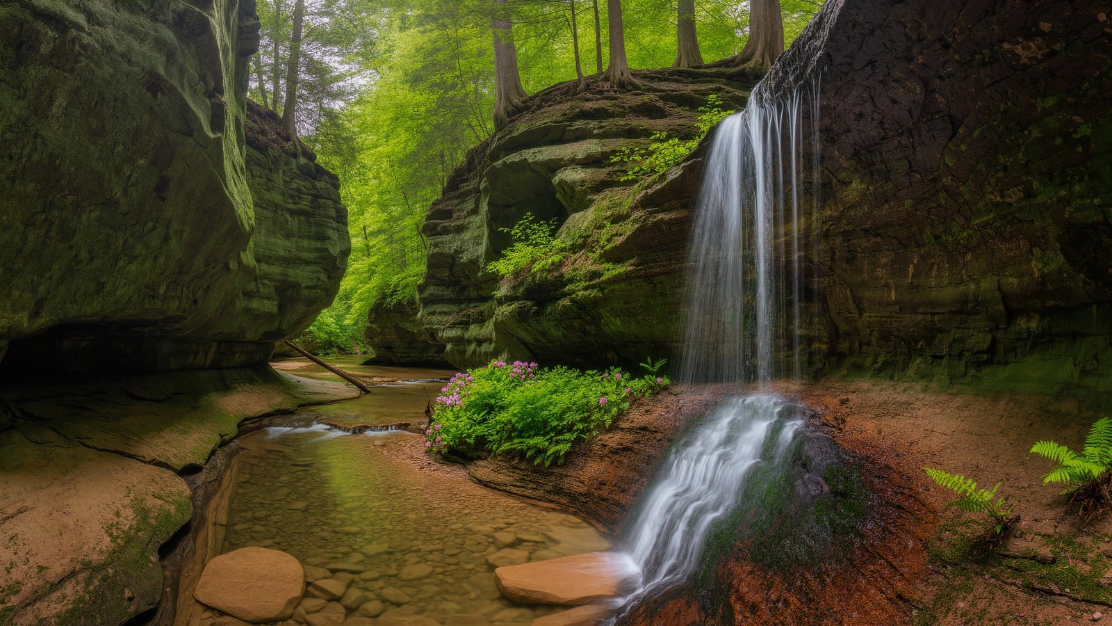
Lake Katharine State Nature Preserve in Jackson County hides two sandstone gorges, cool hemlock ravines, small waterfalls, and Ohio's rare bigleaf magnolias.
Great Seal State Park: The Rugged Hills That Inspired the Ohio State Seal
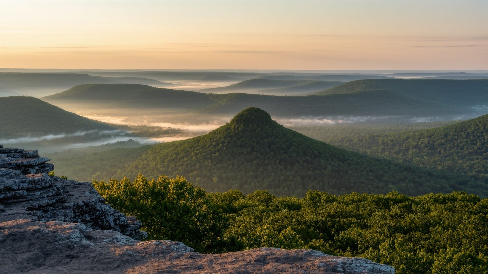
Great Seal State Park near Chillicothe hides Ohio's most rugged ridge hiking. Climb Sugarloaf Mountain to the view that inspired the state seal.
Gahanna Woods State Nature Preserve: A Quiet Swamp Forest Loop
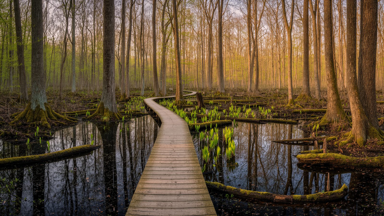
A guide to Gahanna Woods State Nature Preserve near Columbus, Ohio — spring vernal pools, buttonbush swamps, boardwalk trails, and rare wildflowers.