Great Seal State Park: The Rugged Hills That Inspired the Ohio State Seal
The first time I climbed Sugarloaf Mountain at Great Seal State Park, I stopped halfway up, put my hands on my knees, and laughed out loud. Not because anything was funny. Because I was genuinely winded on an Ohio hill, and I hadn't expected that. We tell ourselves Ohio is flat. Great Seal, tucked into the ridges just northeast of Chillicothe, is where that story falls apart.
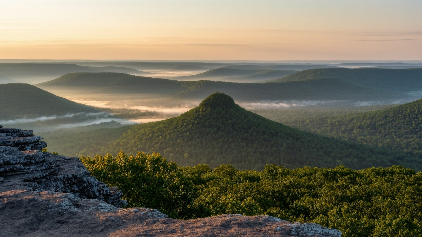
These are the hills that inspired the Great Seal of Ohio itself. Look at the state seal sometime: a sun rising over a range of rounded peaks, a sheaf of wheat and a bundle of arrows in the foreground. Those peaks are Mount Logan and the ridgeline you're standing on here. The view that early Ohio statesmen sketched into our official emblem is the same view you earn when you haul yourself up one of these climbs. That's a rare thing for a trail — hiking straight into a piece of state history — and it's why this park has quietly become one of my favorite hard-workout hikes in the region.
Fair warning up front: Great Seal is rugged. The metro-park loops I love around Columbus are gentle. This is not that. You'll climb, descend, and climb again, and by the end your legs will know it. Bring water and decent footwear, and you'll be rewarded with some of the best ridge-top hiking in central and southern Ohio.
Great Seal State Park — Trail Snapshot
Location: Ross County, just northeast of Chillicothe
Featured hike: Sugarloaf Mountain Trail loop
Distance: about 2.2 miles (with much longer options in the trail network)
Elevation gain: roughly 500–600 feet on the Sugarloaf climb
Difficulty: Hard — steep, sustained climbs
Trail type: Loop, part of a 20-plus-mile network
Best seasons: Spring and fall; shaded enough for summer mornings
Admission: Free (Ohio State Parks)
Getting There
Visitor info (as of September 2026, ODNR): Park entrance 4908 Marietta Road, Chillicothe, OH 45601. ODNR lists the park at 1,682 acres (an older park history blurb still says 1,862 — prefer the current 1,682 figure). Park office is administered from Tar Hollow: (740) 887-4818. Hours typically 6 a.m.–11 p.m. daily. Confirm alerts on the ODNR Great Seal page.
Great Seal sits a few miles northeast of downtown Chillicothe, off Delano Road and Marietta Road. From Columbus, it's a straightforward hour south on US-23 — I usually roll out early and hit the trailhead before the day heats up. The main hikers' parking area is at the Sugarloaf Mountain trailhead near the park office on Marietta Road; there's a second lot near the Rocky Knob and Shawnee Ridge access if you want to start deeper in the network.
Parking is free and rarely full on weekday mornings. On fall weekends it fills faster, so plan to arrive before ten. The park is primarily undeveloped hiking and bridle-trail land, so don't expect a visitor center with a gift shop — expect a gravel lot, a trail map kiosk, and quiet. Cell coverage is spotty in the hollows, so download or photograph the trail map before you head in. Restrooms are limited and seasonal, so take care of that in Chillicothe on the way.
The Trail
The signature hike here is the Sugarloaf Mountain Trail, a loop of a little over two miles that climbs to the top of the cone-shaped knob you can spot from the parking area. Don't let the short mileage fool you. The trail wastes no time going up — within the first half mile you're gaining serious elevation on a rooty, rocky footpath that switchbacks through oak and hickory. I like to take the loop counterclockwise so the steepest pitch comes early, while my legs are fresh, and the descent is the gentler side.
The climb rewards you fast. Near the summit the canopy opens and you get filtered views out over the Scioto Valley, with ridge after ridge rolling south toward the Appalachian foothills. In winter and early spring, before the leaves come in, the views are wide open. In summer it's a green tunnel with windows — still beautiful, just more intimate. There's a satisfying moment at the top where the trail levels and you realize you've climbed a genuine little mountain in a state that supposedly doesn't have any.
If you want more, Great Seal delivers. The park's trail network stitches together more than twenty miles of interconnected hiking and bridle paths, and you can chain several named routes into a real day. The Shawnee Ridge Trail runs the long spine of the park and connects to spurs that reach Bald Hill, Sand Hill, and Rocky Knob. The Mount Ives Trail and Grouse Rock Trail add more climbing if your legs are hungry for it. A popular ambitious outing loops Sugarloaf into Shawnee Ridge and back for a seven-to-nine-mile day with several thousand feet of cumulative up-and-down.
A few things to know about the terrain. Because these are multi-use trails shared with horses, the tread can be churned and muddy in wet stretches — after heavy rain, the low sections between the hills turn to boot-sucking clay. The climbs are on natural surface the whole way: roots, loose rock, and packed dirt, with no boardwalks or steps to smooth things out. That's part of the appeal. It feels wilder and more remote than most parks within an hour of Columbus. Trail junctions are signed, but the network is genuinely complex, so keep that map handy and pay attention at intersections. It's easy to wander onto a bridle spur and add a couple of unplanned miles.
What I love most is the rhythm of it. You climb hard, you top out, you get a view or a quiet ridge walk through the oaks, then you drop into a cool hollow and start again. It's the closest thing to true foothill hiking you'll find this side of the Hocking Hills, and it never feels crowded. On several visits I've had entire ridgelines to myself except for the woodpeckers.
If you want a proper day of it, my favorite big outing links Sugarloaf to the Shawnee Ridge Trail, then loops back over Bald Hill and Rocky Knob for something in the seven-to-nine-mile range. You'll rack up several thousand feet of cumulative climbing on a route like that — genuinely more vertical than a lot of hikers bank on for Ohio. Break it into pieces if you're new to the park: the Sugarloaf loop alone is a great first taste, and you can always add a spur once you've felt how the terrain treats your legs. The reason this network hides so much mileage is that the trails constantly cross and reconnect, so short and long days start from the same lots.
Great Seal's reputation among serious hikers and runners is no accident. The steep, relentless terrain has made it a favorite training ground for trail races and endurance events over the years — if you show up on the wrong morning, you might find the ridges busier than usual with folks in bib numbers grinding up Sugarloaf. It's a good reminder that these hills demand respect. Even a two-mile loop here works you harder than a five-mile metro-park stroll, so pace yourself, especially on a hot day.
History & Nature
The story behind the name is the best part. In the early 1800s, when Chillicothe was Ohio's first capital, the founders needed a state seal. As the tradition goes, a small group — including Thomas Worthington and William Creighton — watched the sun come up over this very range of hills from Worthington's Adena estate on the west side of town. The rising sun cresting the rounded peaks, with the fertile valley below, became the image engraved into the Great Seal of Ohio. The ridge in that emblem is Mount Logan, named for the Mingo leader Chief Logan. So every time you see the seal on a state document or a highway sign, you're looking at a stylized version of the skyline you hike here.
The ridge in the seal, Mount Logan, carries its own story. It's named for Chief Logan, a Mingo leader whose famous lament — delivered after his family was killed by frontier settlers — became one of the most quoted pieces of Native American oratory in early American history. Knowing that, the climb takes on a little more weight. You're not just bagging a viewpoint; you're walking ground layered with the whole complicated founding of the state.
These hills mark the ragged western edge of the Allegheny Plateau, where the flat glaciated farmland of central Ohio gives way to the unglaciated, deeply eroded country of the southeast. That geologic seam is exactly why the terrain suddenly gets steep. Long before statehood, this was Shawnee country, and the Scioto Valley below held some of the most important Native American settlements and earthworks in North America — the Hopewell mounds just downriver are a short drive away.
The forest is classic mixed-oak Appalachian: white and red oak, shagbark hickory, sugar maple, and stands of Virginia pine on the drier ridges. In spring the slopes light up with trillium, wild geranium, and mayapple. I've flushed wild turkey out of the underbrush more than once, watched red-tailed hawks ride the thermals off the ridges, and found white-tailed deer bedded in the hollows at dawn. The park's name for Grouse Rock is a nod to ruffed grouse that once drummed on these hillsides. Come here on a still autumn morning and the whole place smells like fallen leaves and cool earth.
Tips & Seasonal Notes
Spring and fall are the sweet spots. Fall in particular is spectacular — the oak-hickory canopy turns deep gold and russet, and the open winter-window views start returning as leaves drop. Spring brings wildflowers and running water in the hollows. Summer is very doable if you start early; the tree cover keeps the climbs shaded, but the humidity down in the valleys is real, so carry more water than you think you need.
Winter is my quiet-season secret here. With the leaves gone, the ridge views open up completely, and a light snow makes the whole park feel like backcountry. Just expect the mud to freeze into ankle-turning ruts. Whatever the season, wear boots with real tread and ankle support — this is not a trail-runner-friendly, groomed-gravel park. Trekking poles help a lot on the steep descents. And because the trail network is complex and remote, tell someone your plan and carry the essentials: water, a snack, a map, and a layer.
One more practical thing: there's no reliable drinking water or concession out on the trails, so carry everything you'll need from the car. In summer that means more water than you'd bring to a flat metro-park loop, because the climbing and the valley humidity will cook it out of you faster than you expect. I've turned a two-hour hike into a three-hour slog here simply by underestimating how hard the hills work you. Start early, hydrate before you climb, and you'll enjoy every ridge instead of enduring it.
Nearby Trails
Great Seal pairs naturally with the Chillicothe area's other highlights. Just downriver, Hopewell Culture National Historical Park lets you walk among the ancient earthworks that make the Scioto Valley internationally significant. For more foothill climbing, the quiet ridges of Zaleski State Forest and the pine plantations of nearby Tar Hollow are close cousins to what you'll find here. If you'd rather chase waterfalls and gorges, the Hocking Hills trails are less than an hour east. And for a gentler follow-up day, Clear Creek Metro Park offers ridge-and-valley hiking with a lot less mud. If you're building a Columbus-area hit list, my roundup of the best hikes near Columbus has more ideas.
🥾 Gear I bring to Great Seal
The steep, rocky, often-muddy tread here is exactly where good boots and poles earn their keep. I never hike this park in trail runners. A sturdy pair of waterproof hiking boots and a set of trekking poles turn the descents from sketchy to fun. Round it out with the rest of my Ohio day-hike gear checklist. As an Amazon Associate, this site earns from qualifying purchases.
A final planning tip: because the trail network is genuinely complex, it's worth loading the park onto a mapping app before you go so you can track your position when the junctions start stacking up. I've watched confident hikers add two unplanned miles here by drifting onto a bridle spur, and out on these ridges an extra two miles is a real workout, not a rounding error. Screenshot the kiosk map, note where you parked, and pick your loop before you start climbing.
Great Seal is the park I send people to when they insist Ohio is flat. Come climb Sugarloaf once, stand on the ridge that gave our state its emblem, and you'll never say it again. Lace up, pack water, and go earn the view.
More in
Lake Katharine State Nature Preserve: Hidden Gorges and Rare Magnolias
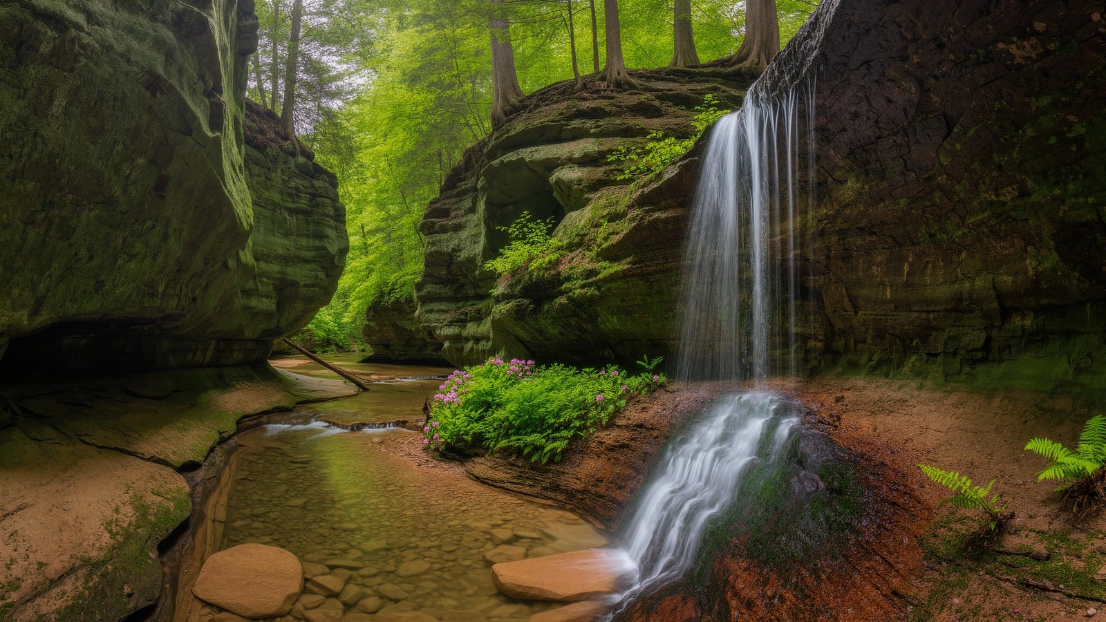
Lake Katharine State Nature Preserve in Jackson County hides two sandstone gorges, cool hemlock ravines, small waterfalls, and Ohio's rare bigleaf magnolias.
Tar Hollow State Park: Fire Tower Views and Remote Ridge Trails
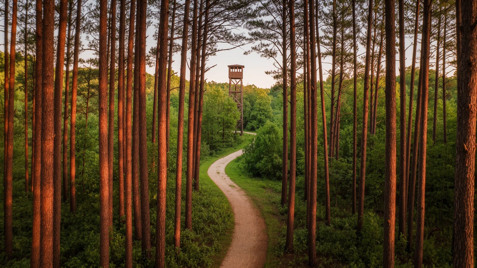
Tar Hollow State Park is one of Ohio's most remote hikes: a climbable fire tower, the 15-mile Logan Trail, and miles of quiet ridge-and-hollow forest.
Gahanna Woods State Nature Preserve: A Quiet Swamp Forest Loop
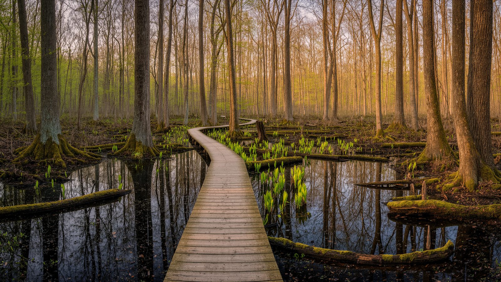
A guide to Gahanna Woods State Nature Preserve near Columbus, Ohio — spring vernal pools, buttonbush swamps, boardwalk trails, and rare wildflowers.